MyTopo
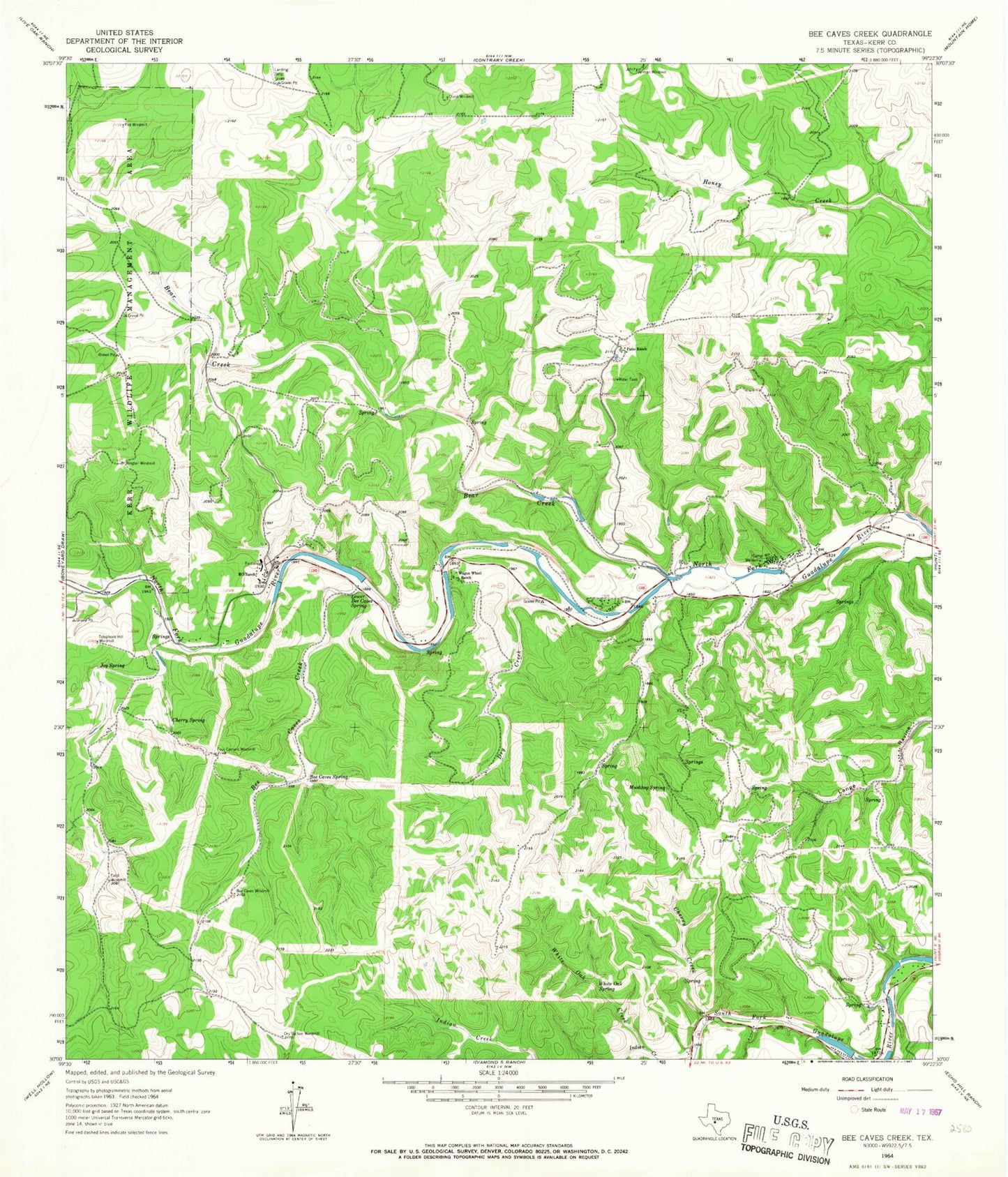
Classic USGS Bee Caves Creek Texas 7.5'x7.5' Topo Map
Couldn't load pickup availability
Historical USGS topographic quad map of Bee Caves Creek in the state of Texas. Typical map scale is 1:24,000, but may vary for certain years, if available. Print size: 24" x 27"
This quadrangle is in the following counties: Kerr.
The map contains contour lines, roads, rivers, towns, and lakes. Printed on high-quality waterproof paper with UV fade-resistant inks, and shipped rolled.
Contains the following named places: Bear Creek, Bee Cave Windmill, Bee Caves Creek, Bee Caves Spring, Camp Waldemar, Cherry Creek, Cherry Spring, Dry Creek, Dry Section Windmill, Durst Windmill, Field Windmill, Four Corners Windmill, Indian Creek, Jarman Windmill, Joy Spring, Lower Bee Caves Spring, MO Ranch, Muskhog Spring, Patio Ranch, Plot Windmill, Ringtail Windmill, Telephone Hill Windmill, Wagon Wheel Ranch, White Oak Creek, White Oak Spring, Comanche Caves Ranch Airport, Priour Ranch Airport, Cullum Estate Number 1 Dam, Cullum Lake, Ingram Division, Buffalo Creek Springs, Honey Springs, Mystic Springs, Kerr Wildlife Management Area Trail


