MyTopo
Classic USGS Bee Springs Canyon California 7.5'x7.5' Topo Map
Couldn't load pickup availability
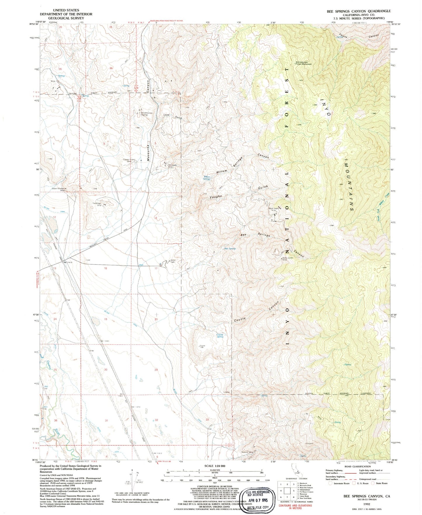
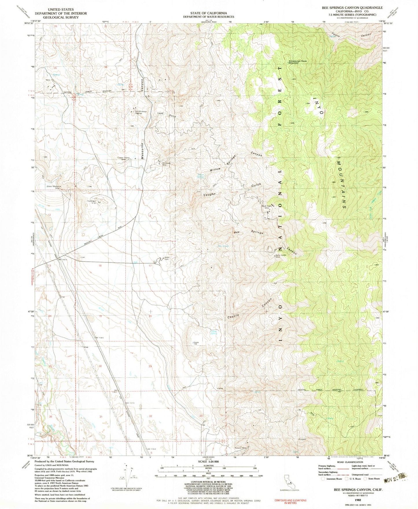
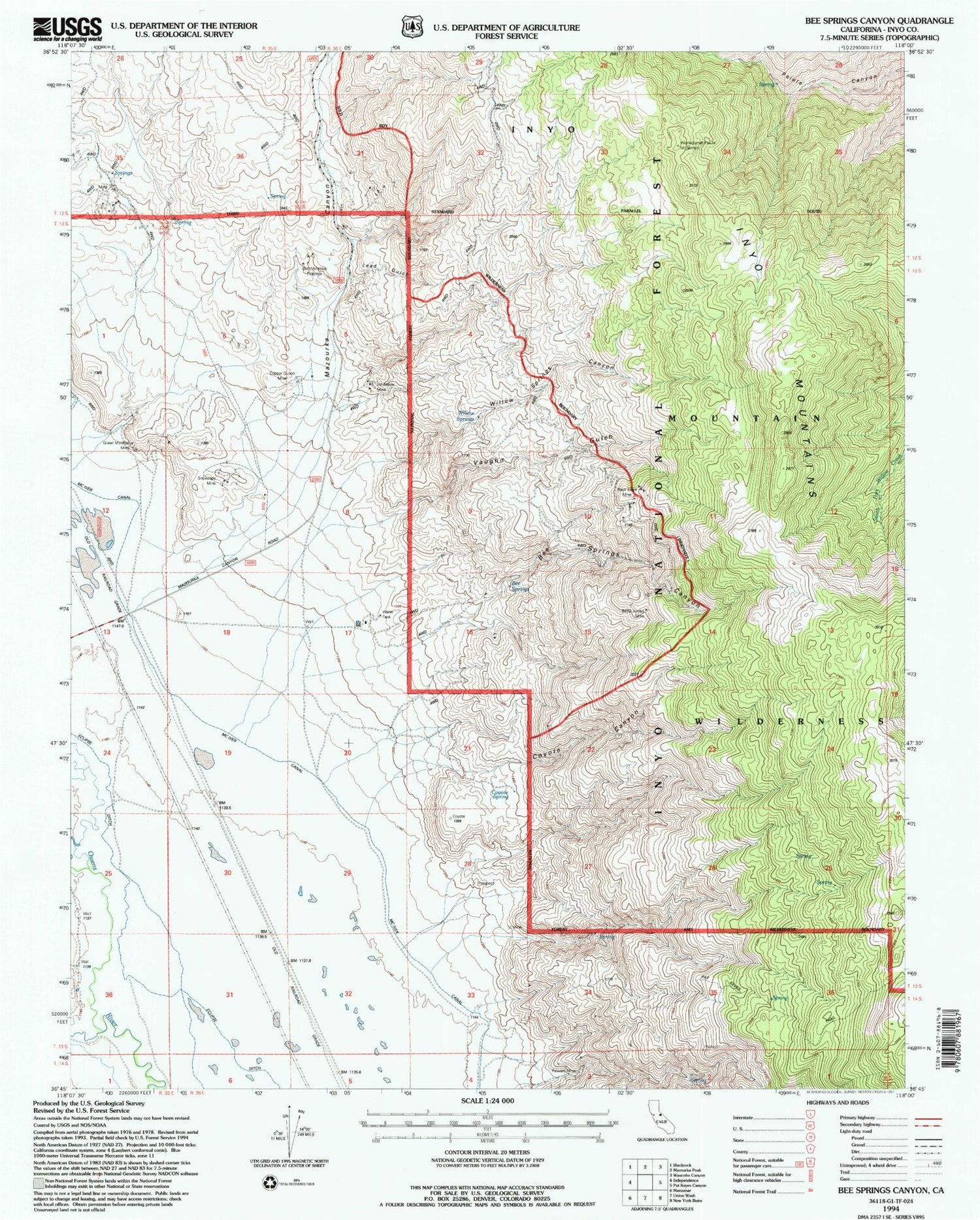
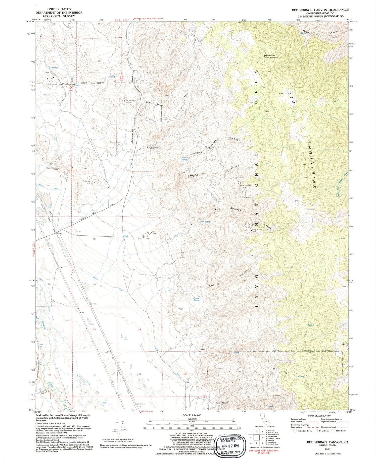
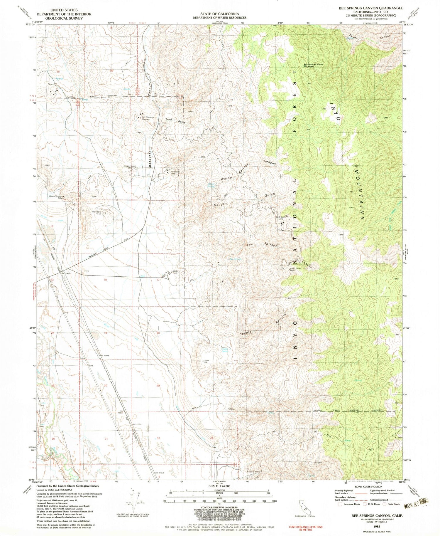
Historical USGS topographic quad map of Bee Springs Canyon in the state of California. Map scale may vary for some years, but is generally around 1:24,000. Print size is approximately 24" x 27"
This quadrangle is in the following counties: Inyo.
The map contains contour lines, roads, rivers, towns, and lakes. Printed on high-quality waterproof paper with UV fade-resistant inks, and shipped rolled.
Contains the following named places: Alhambra Mine, Arroyo Group Prospects, Bee Springs, Bee Springs Canyon, Betty Jumbo Mine, Birthday Numbers 1-4 Prospects, Black Eagle Mine, Black Jackass Prospect, Bluebird Mine, Broadway Prospect, Buckeye Placer Mine, Cent Prospect, Clifford Mine, Condor Number 1 Mine, Copper Queen Mine, Coyote Canyon, Coyote Spring, Dennis Junior Mine, Dolomite Numbers 1-8 Prospects, Flapjack Number 1 Mine, Four Mules Mine, Gold Seal Prospect, Goodview Prospect, Green Gem Numbers 1-2 Prospects, Green Monster Mine, Green Monster Prospect, Hawkeye Prospect, Kearsarge, Lead Gulch, Mazourka Canyon, Mexican Silver Prospect, Moiver Canal, Monongahela Prospect, Mountain View Prospect, Nevada Queen Prospect, Noble Number 6 Mine, Old Soldier Prospect, Old Whiteside Diggings, Omega Prospect, Pat Keyes Trail, Reward Mine, Shepherd Creek, Silver Dollars Numbers 1-5 Prospects, Snowcaps Mine, Squares Tunnel, Squares Tunnel Placer Mine, Union Mill, Vaughn Gulch, W D C Numbers 1-5 Prospects, Welch Gold Mine, White Swan Prospect, Whiteside Mine, Willow Springs, Willow Springs Canyon, Wilmington Prospect, Winnedumah Paiute Monument

