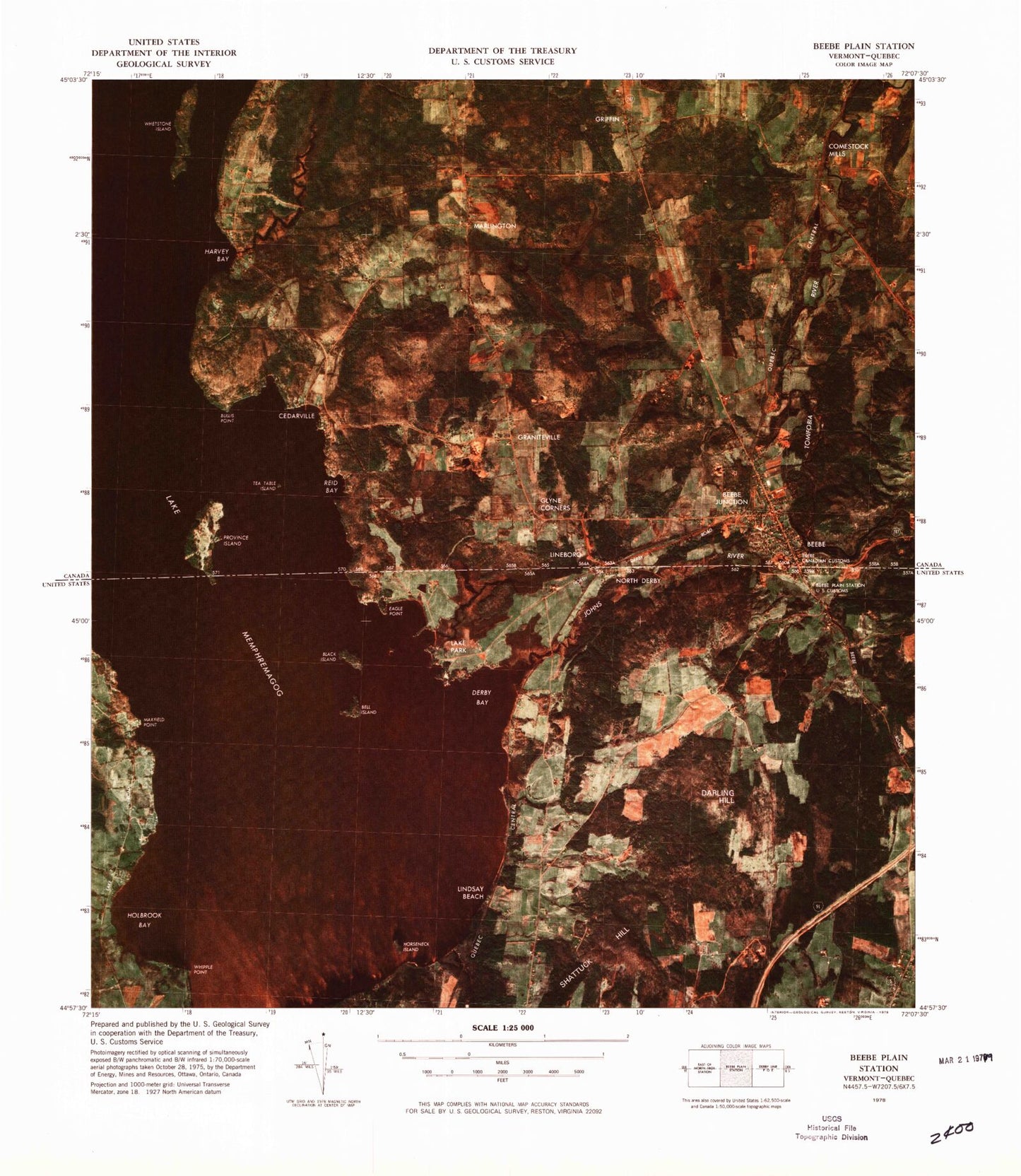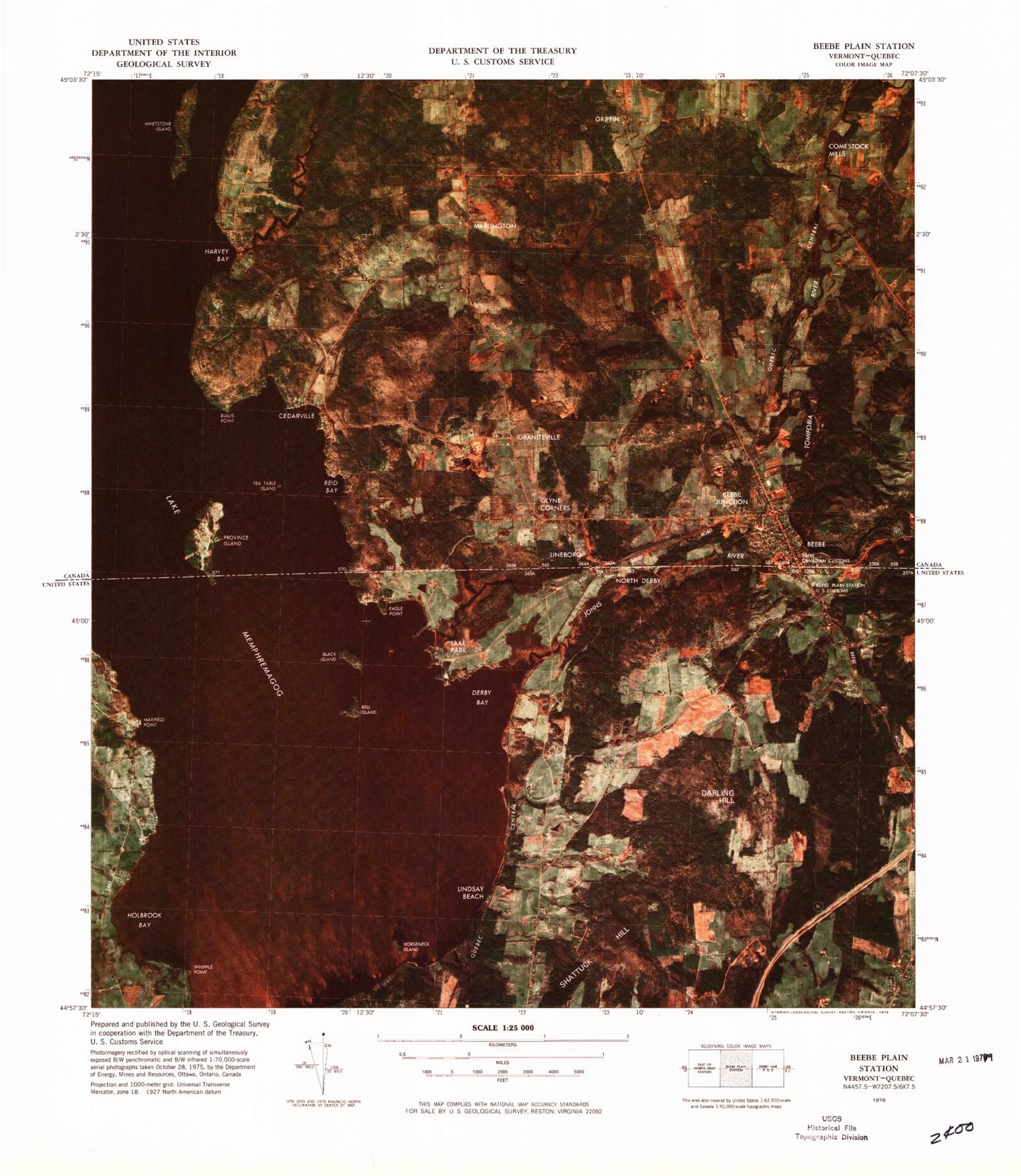
MyTopo
Classic USGS Beebe Plain Station Vermont 7.5'x7.5' Topo Map
Couldn't load pickup availability
Historical USGS topographic quad map of Beebe Plain Station in the state of Vermont. Typical map scale is 1:24,000, but may vary for certain years, if available. Print size: 24" x 27"
This quadrangle is in the following counties: Orleans.
The map contains contour lines, roads, rivers, towns, and lakes. Printed on high-quality waterproof paper with UV fade-resistant inks, and shipped rolled.
Contains the following named places: Beebe Plain, Bell Island, Black Island, Cove Island, Derby Center Cemetery, Darling Hill, Derby Bay, Eagle Point, Gull Rock, Holbrook Bay, Horseneck Island, Johns River, Lake Park, North Derby, Province Island, Shattuck Hill, Willey Granite Quarry, Lindsay Beach, Maxfield Point, Whipple Point, Holebrook Cemetery, Morrill - Darling Hill Cemetery, Beebe Plain Post Office