MyTopo
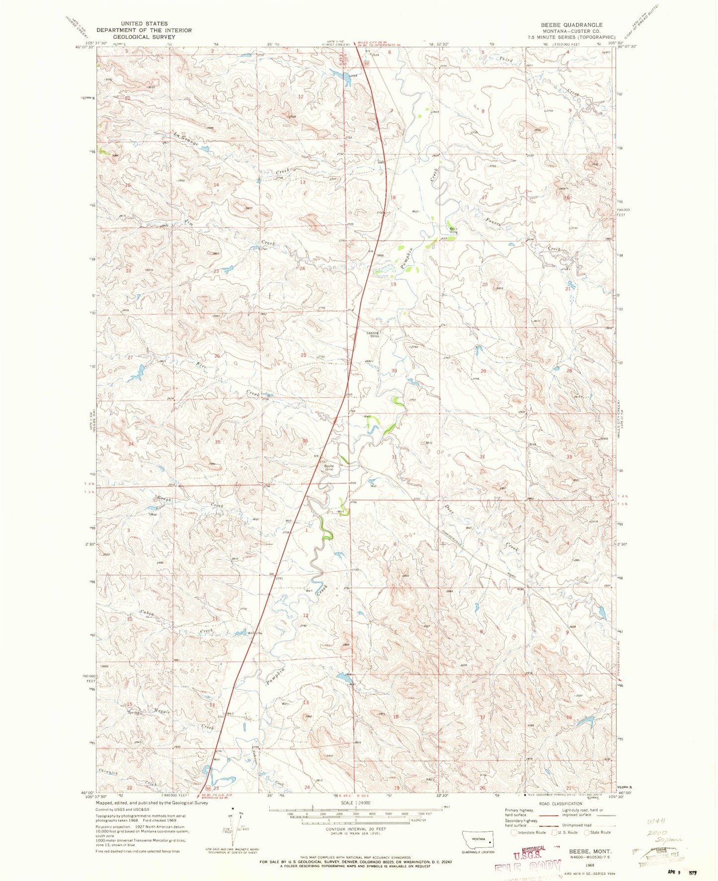
Classic USGS Beebe Montana 7.5'x7.5' Topo Map
Couldn't load pickup availability
Historical USGS topographic quad map of Beebe in the state of Montana. Map scale may vary for some years, but is generally around 1:24,000. Print size is approximately 24" x 27"
This quadrangle is in the following counties: Custer.
The map contains contour lines, roads, rivers, towns, and lakes. Printed on high-quality waterproof paper with UV fade-resistant inks, and shipped rolled.
Contains the following named places: 04N49E24DCDA01 Well, 04N50E18DACA01 Well, 04N50E19DBCD01 Well, 04N50E30BADB01 Well, 04N50E30CCBB01 Well, 04N50E31CCAA01 Well, Anderson Creek, Beebe, Beebe Post Office, Cabin Creek, Clarence, Deer Creek, Failing Number 3 Dam, Fire Creek, Fourth Creek, Hanson Number 1 Dam, Jim Creek, LaGrange Creek, Maggie Creek, Rough Creek, Tonn Number 3 Dam