
MyTopo
Classic USGS Beech Bayou Louisiana 7.5'x7.5' Topo Map
Couldn't load pickup availability
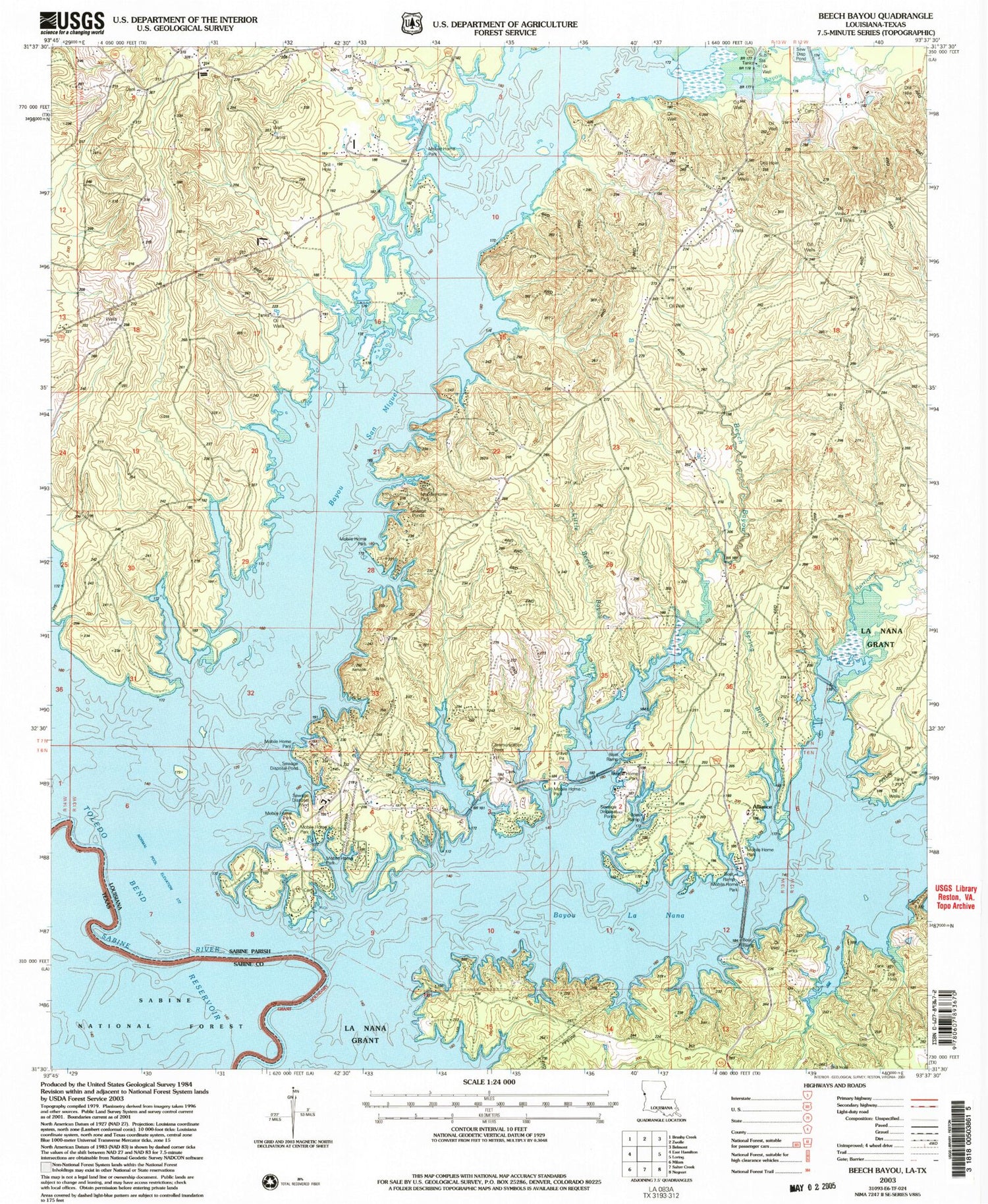
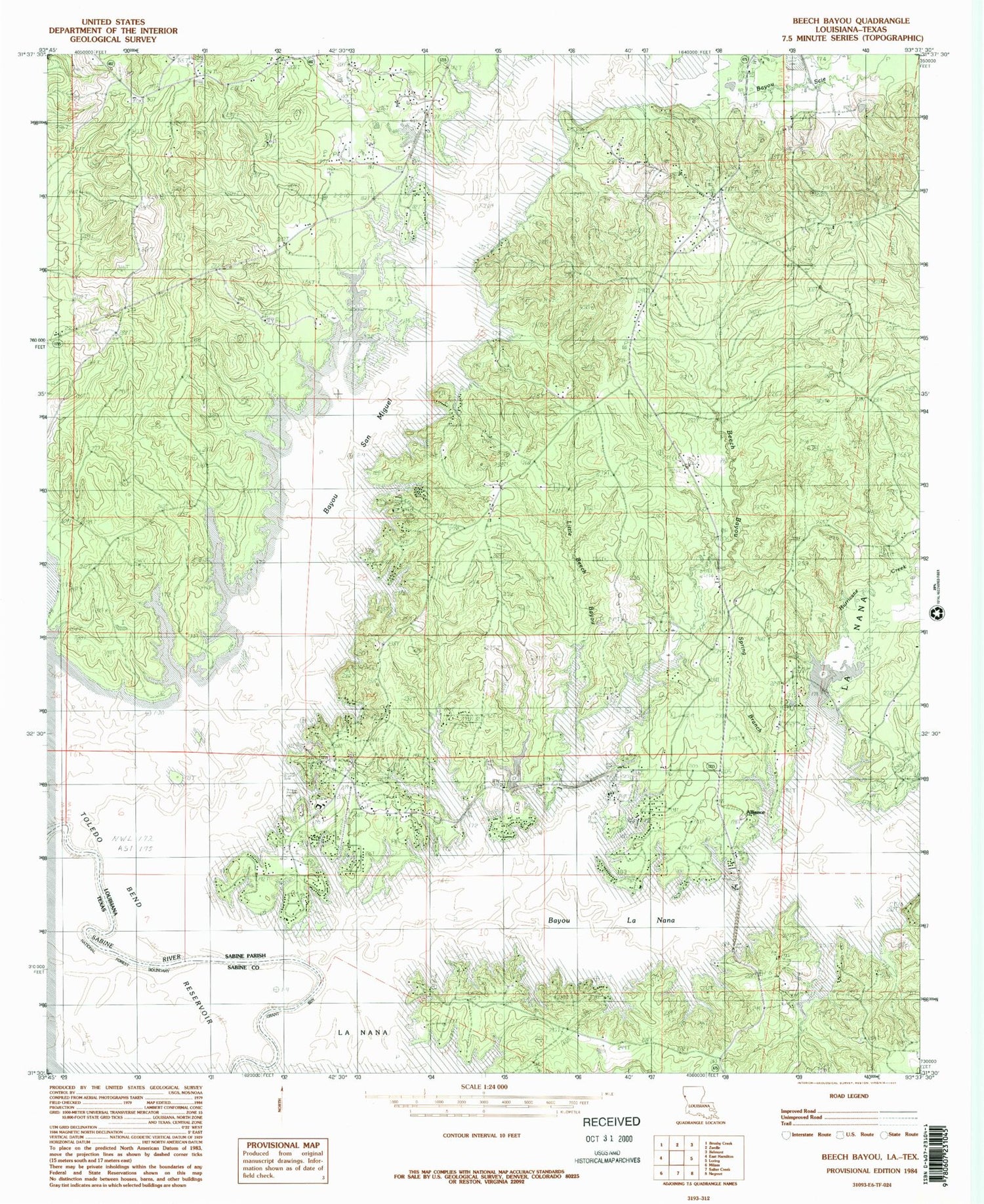
Historical USGS topographic quad map of Beech Bayou in the states of Louisiana, Texas. Map scale is 1:24000. Print size is approximately 24" x 27"
This quadrangle is in the following counties: Sabine.
The map contains contour lines, roads, rivers, towns, and lakes. Printed on high-quality waterproof paper with UV fade-resistant inks, and shipped rolled.
Contains the following named places: Aimwell Church, Aimwell Volunteer Fire Department, Alliance, Alliance School (historical), Ammons Airport, Bayou La Nana, Bayou San Miguel, Bayou Scie, Beech Bayou, Blue Lake Lookout Tower, Carters Ferry (historical), Choctaw Branch, Fergeson School (historical), Funks Bayou, Hurricane Creek, Little Beech Bayou, Martinez School (historical), North Sabine Fire Protection District Blue Lake Station, North Sabine Fire Protection District Ebarb Station, Old Saint Joseph Cemetery, Parish Governing Authority District 6, Sapulyado School (historical), Spring Branch, Toledo Bend Reservoir, Ward Five


