MyTopo
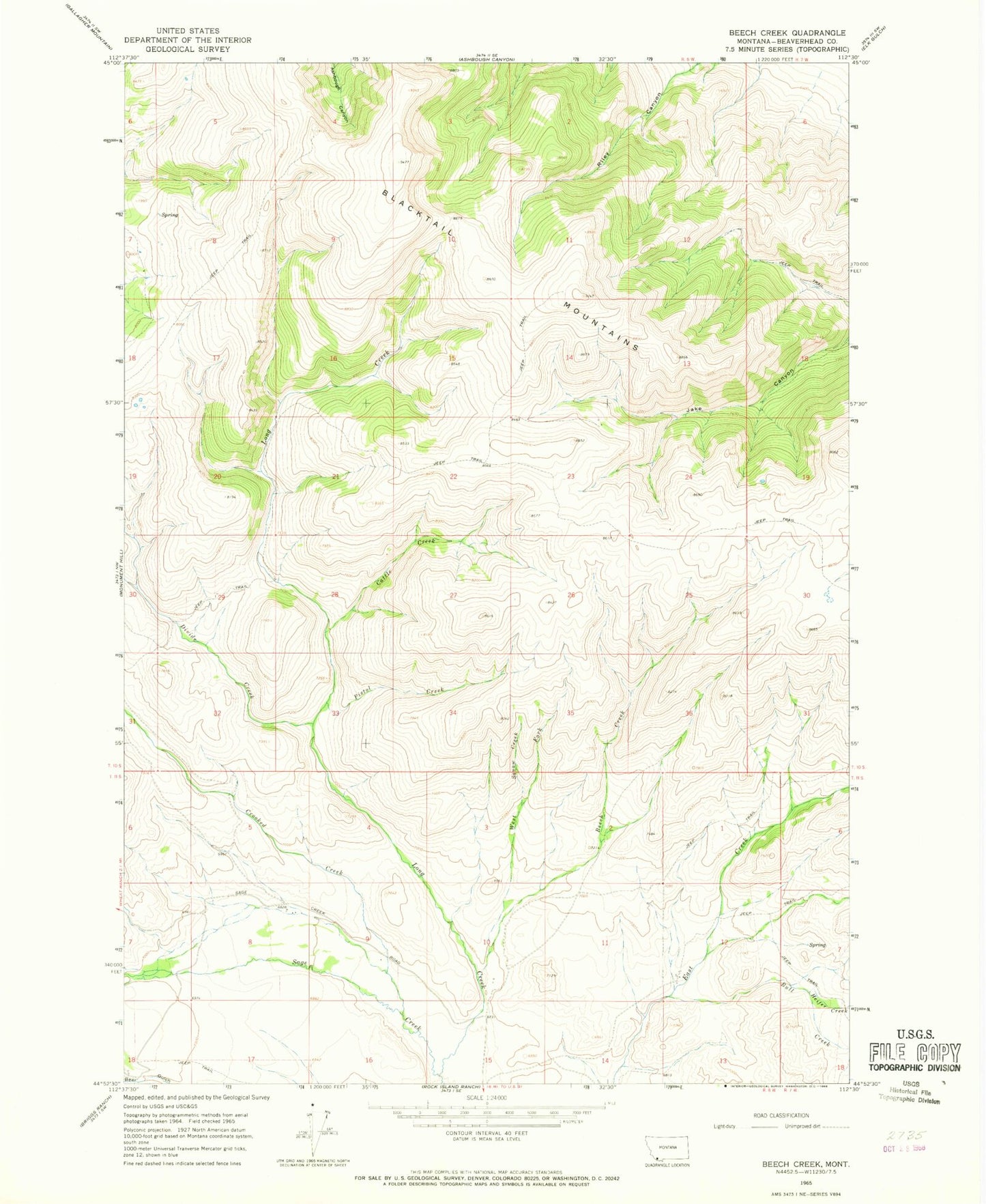
Classic USGS Beech Creek Montana 7.5'x7.5' Topo Map
Regular price
$16.95
Regular price
Sale price
$16.95
Unit price
per
Couldn't load pickup availability
Historical USGS topographic quad map of Beech Creek in the state of Montana. Map scale may vary for some years, but is generally around 1:24,000. Print size is approximately 24" x 27"
This quadrangle is in the following counties: Beaverhead.
The map contains contour lines, roads, rivers, towns, and lakes. Printed on high-quality waterproof paper with UV fade-resistant inks, and shipped rolled.
Contains the following named places: 11S08W12CCBA01 Well, Beech Creek, Blacktail Mountains, Bull Creek, Cattle Creek, Crooked Creek, Divide Creek, Heifer Creek, Long Creek, Pistol Creek, Skl-ow-kin Creek, West Fork Beech Creek