MyTopo
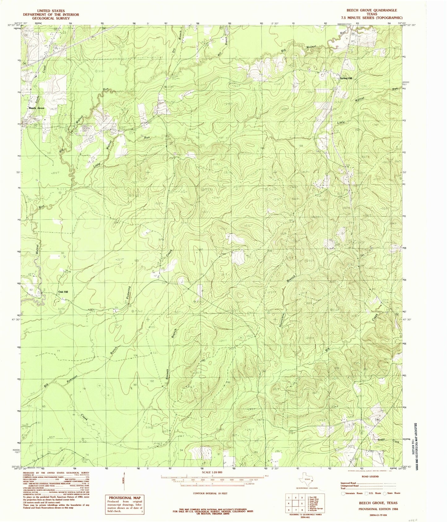
Classic USGS Beech Grove Texas 7.5'x7.5' Topo Map
Couldn't load pickup availability
Historical USGS topographic quad map of Beech Grove in the state of Texas. Map scale may vary for some years, but is generally around 1:24,000. Print size is approximately 24" x 27"
This quadrangle is in the following counties: Jasper.
The map contains contour lines, roads, rivers, towns, and lakes. Printed on high-quality waterproof paper with UV fade-resistant inks, and shipped rolled.
Contains the following named places: Allen Cemetery, Beech Grove, Big Walnut Run, Blewett Branch, Dry Branch, Dunn Cemetery, George Washington Smyth Historical Monument, Holton Cemetery, Hurricane Branch, Little Walnut Run, Mill Branch, Oak Hill, Pickering Creek, Robinson Branch, Sanders Cemetery, Science Hall, Smith Cemetery, Smyth Cemetery, Spring Hill