MyTopo
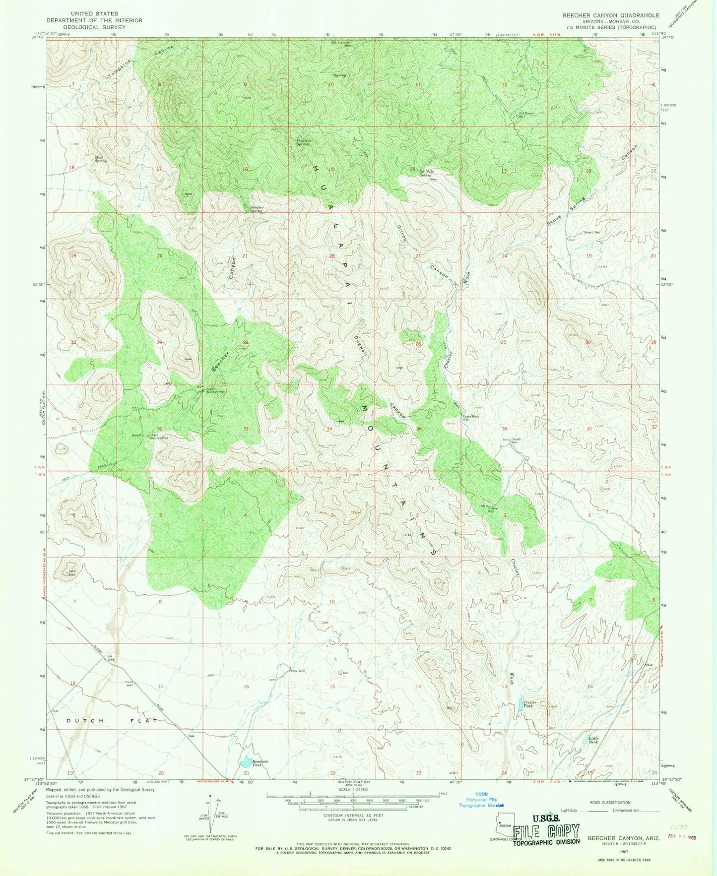
Classic USGS Beecher Canyon Arizona 7.5'x7.5' Topo Map
Couldn't load pickup availability
Historical USGS topographic quad map of Beecher Canyon in the state of Arizona. Map scale may vary for some years, but is generally around 1:24,000. Print size is approximately 24" x 27"
This quadrangle is in the following counties: Mohave.
The map contains contour lines, roads, rivers, towns, and lakes. Printed on high-quality waterproof paper with UV fade-resistant inks, and shipped rolled.
Contains the following named places: Beecher Canyon, Beecher Spring, Crozier Tank, Crozier Well, Daryls Well, Dugwell Canyon, Eagle Rock Well, Gilroy Canyon, Hart Well, Lake Havasu City Division, Little Tank, Lower Beecher Well, Mud Spring, New Well, Old Ranch Well, Oz Yoke Spring, Pipeline Spring, Roadside Tank, San Francisco Mine, Tompkins Canyon, Upper Beecher Well