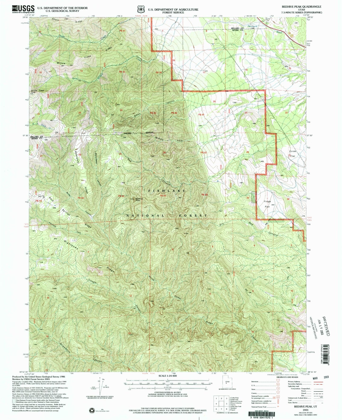
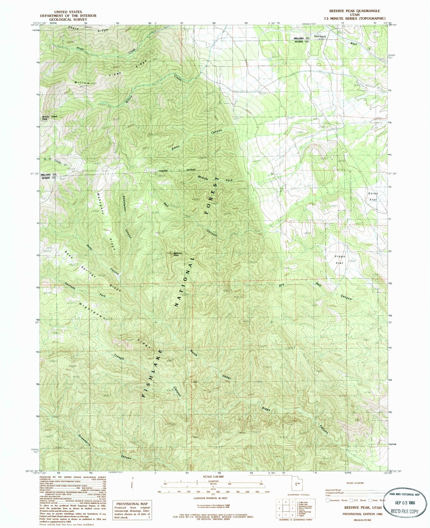
MyTopo
Classic USGS Beehive Peak Utah 7.5'x7.5' Topo Map
Couldn't load pickup availability
Historical USGS topographic quad map of Beehive Peak in the state of Utah. Map scale may vary for some years, but is generally around 1:24,000. Print size is approximately 24" x 27"
This quadrangle is in the following counties: Millard, Sevier.
The map contains contour lines, roads, rivers, towns, and lakes. Printed on high-quality waterproof paper with UV fade-resistant inks, and shipped rolled.
Contains the following named places: Amos Canyon, Bean Canyon, Beehive Peak, Ezras Flat, Frogs Flat, Herbert Ranch, Kennedy Fork, Mahogany Ridge, Middle Fork Amos Canyon, North Cedar Ridge Canyon, Pharo Canyon, Red Canyon, Rock Springs Ridge, Sweetwater Canyon, Trough Canyon, Willow Creek Canyon, Willow Creek Ridge, Willow Creek Spring