MyTopo
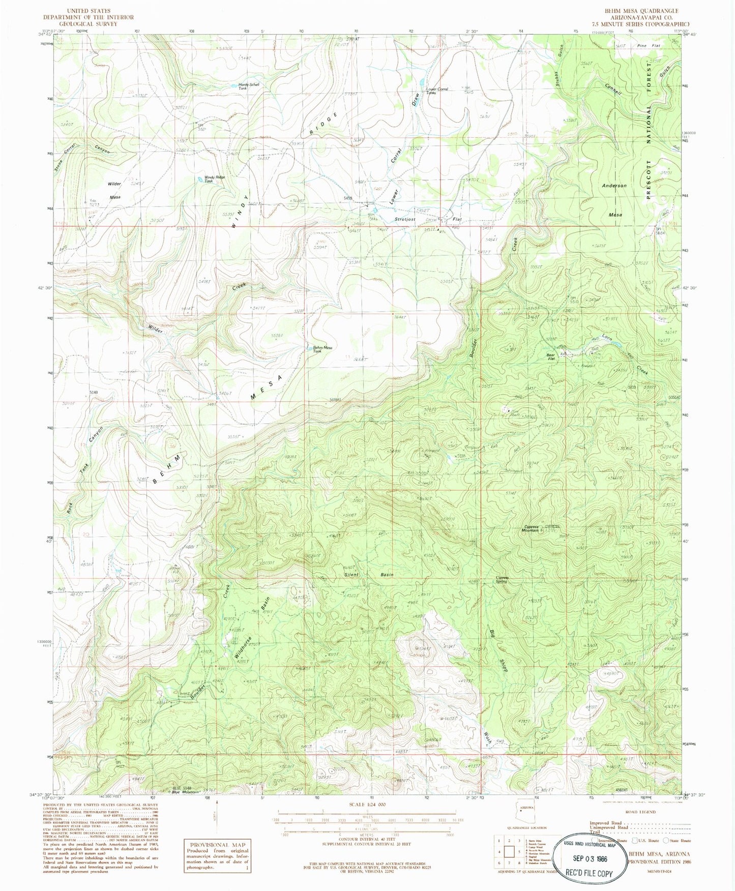
Classic USGS Behm Mesa Arizona 7.5'x7.5' Topo Map
Couldn't load pickup availability
Historical USGS topographic quad map of Behm Mesa in the state of Arizona. Map scale may vary for some years, but is generally around 1:24,000. Print size is approximately 24" x 27"
This quadrangle is in the following counties: Yavapai.
The map contains contour lines, roads, rivers, towns, and lakes. Printed on high-quality waterproof paper with UV fade-resistant inks, and shipped rolled.
Contains the following named places: Anderson Mesa, Bear Flat, Behm Mesa, Behm Mesa Tank, Black Pearl Mine, Blue Mountain, Connell Gulch, Corner Dam Tank, Cypress Mountain, Cypress Spring, Hardy-Schell Tank, Lower Corral Draw, Lower Corral Tanks, Pine Flat, Silent Basin, Strotjost Flat, Stubbs Gulch, Stubbs Tank, Wilder Mesa, Wildhorse Basin, Windy Ridge Tank