MyTopo
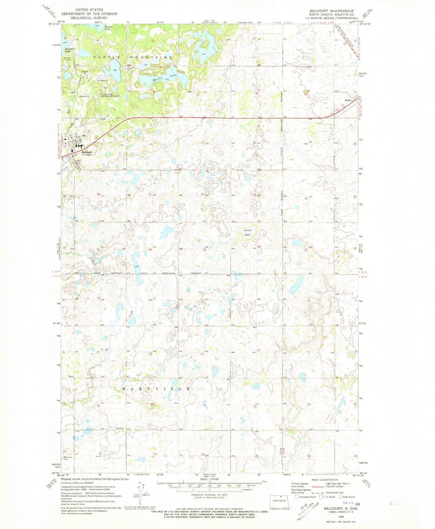
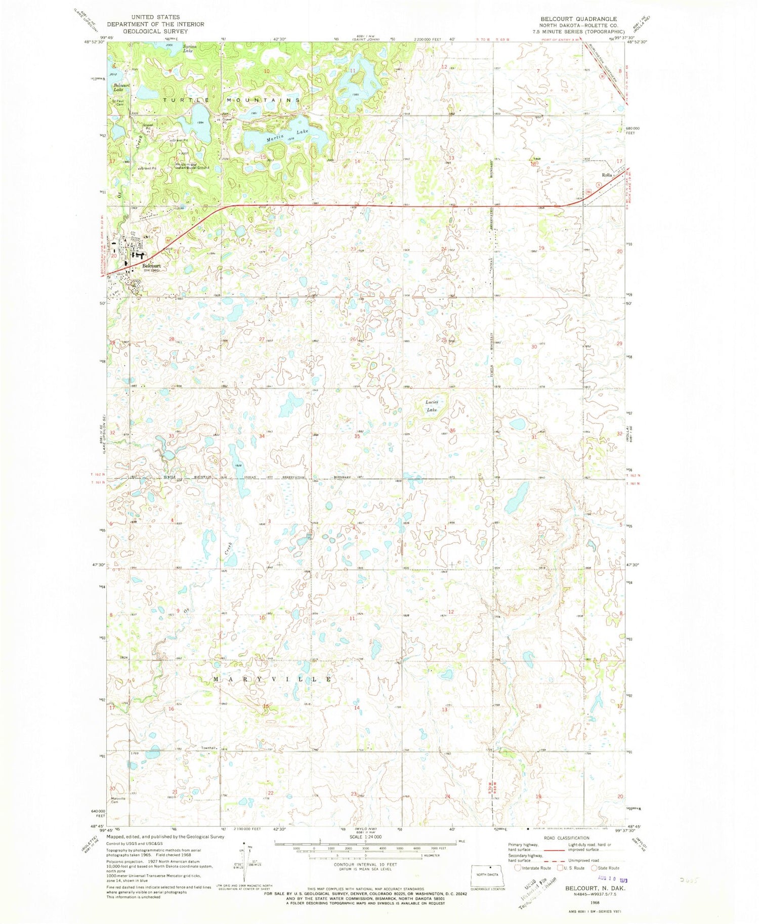
Classic USGS Belcourt North Dakota 7.5'x7.5' Topo Map
Couldn't load pickup availability
Historical USGS topographic quad map of Belcourt in the state of North Dakota. Map scale may vary for some years, but is generally around 1:24,000. Print size is approximately 24" x 27"
This quadrangle is in the following counties: Rolette.
The map contains contour lines, roads, rivers, towns, and lakes. Printed on high-quality waterproof paper with UV fade-resistant inks, and shipped rolled.
Contains the following named places: An - Qui - Ni - Gay Indian Burial Ground, Belcourt, Belcourt Ambulance Service, Belcourt Census Designated Place, Belcourt Rural Fire Department, Green Acres Census Designated Place, Lucies Lake, Martin Lake, Quentin Burdick Memorial Hospital, Saint Marys Maryville Cemetery, Saint Paul Cemetery, Township of Maryville, Turtle Mountain Community Elementary School, Turtle Mountain Community High School, Turtle Mountain Community Middle School