MyTopo
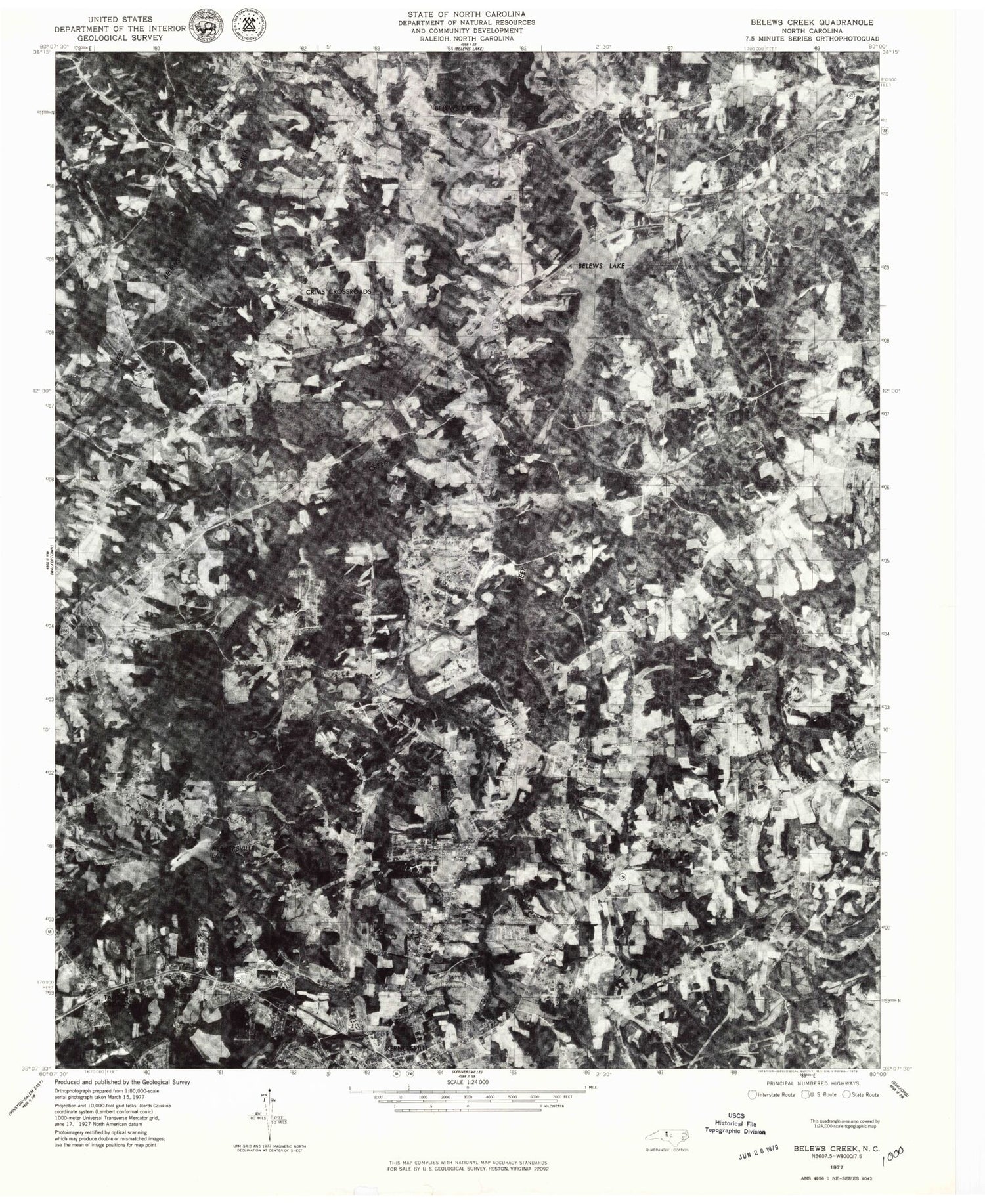
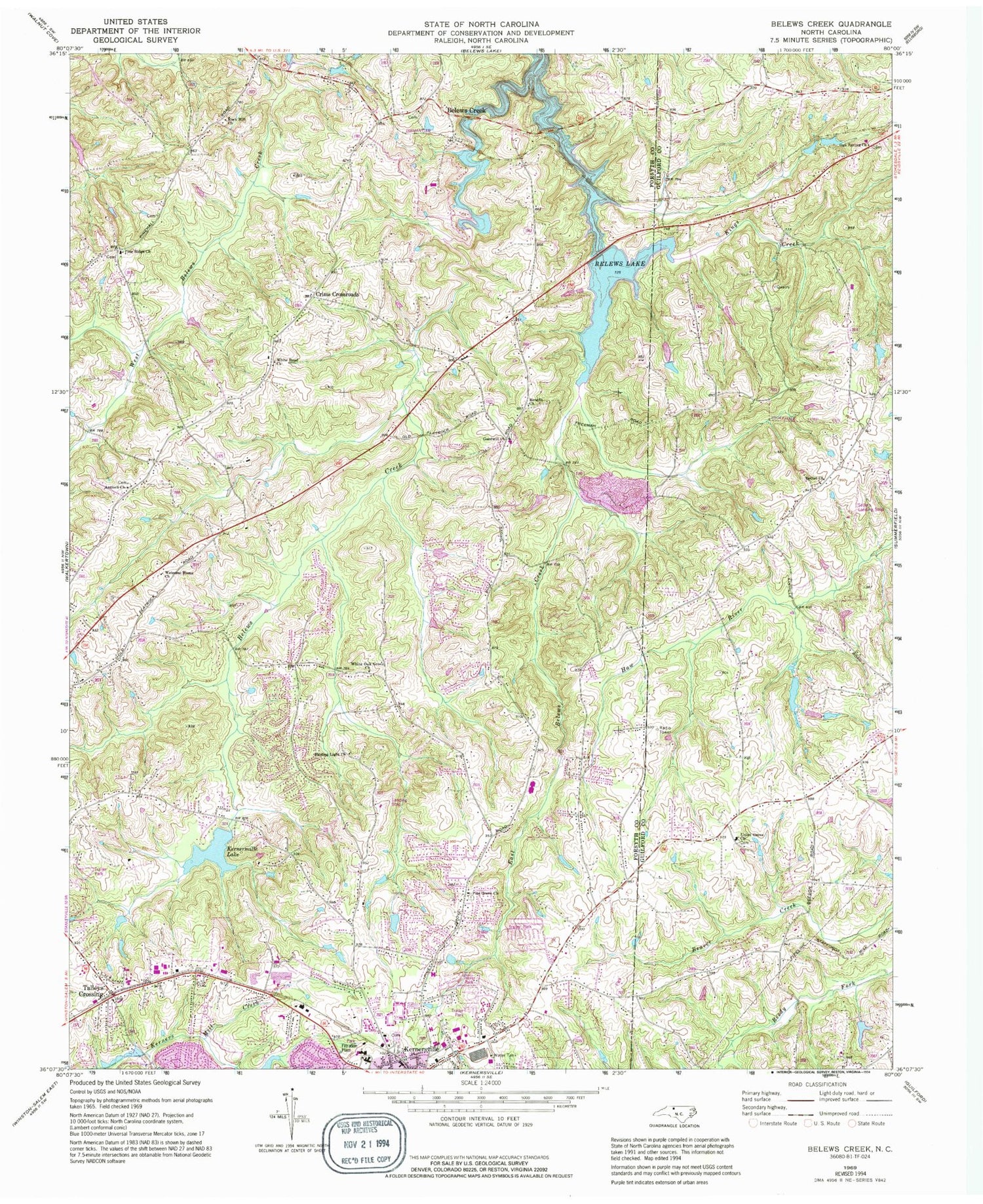
Classic USGS Belews Creek North Carolina 7.5'x7.5' Topo Map
Couldn't load pickup availability
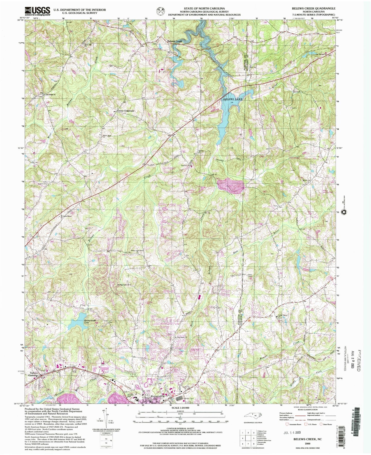
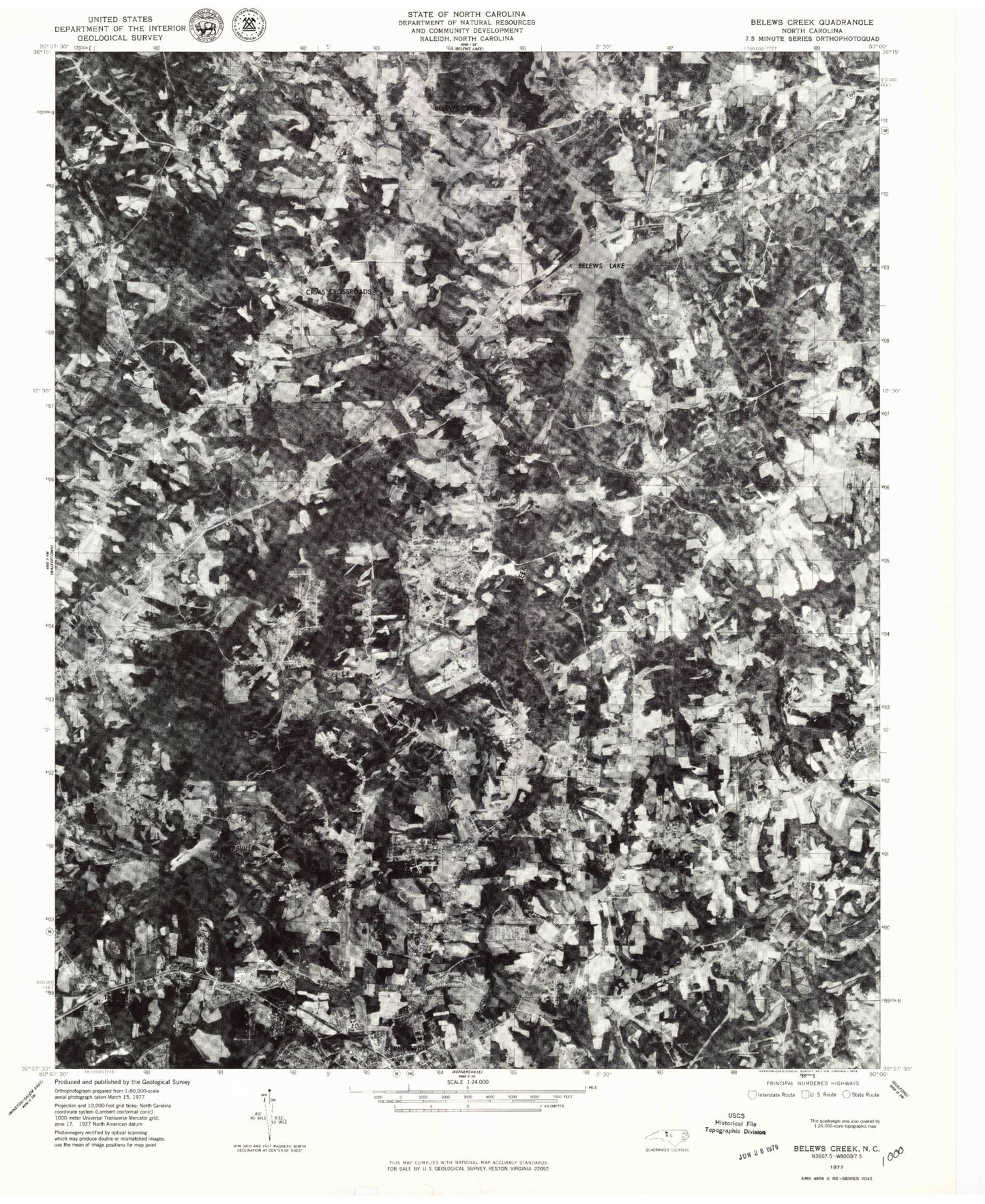
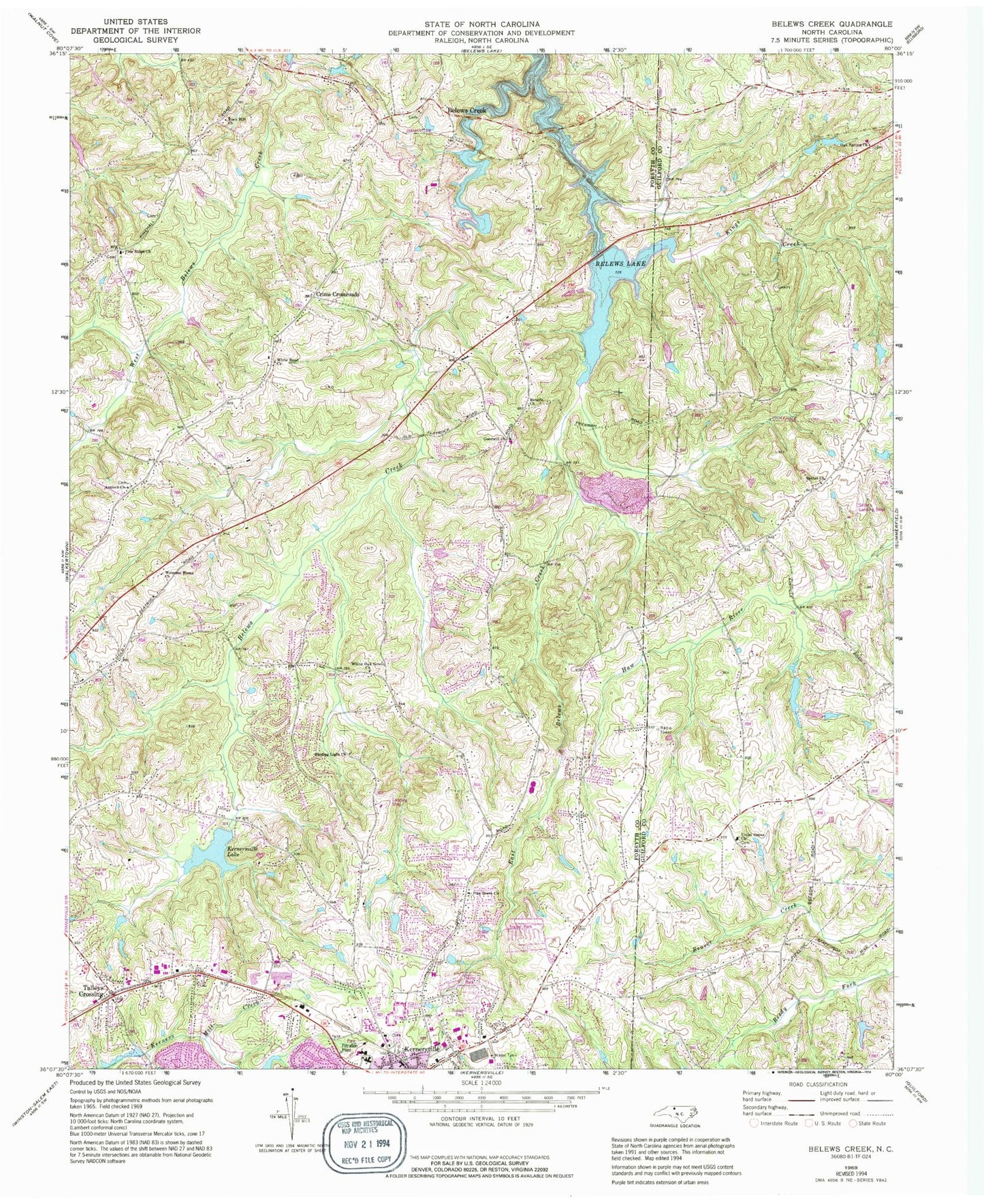
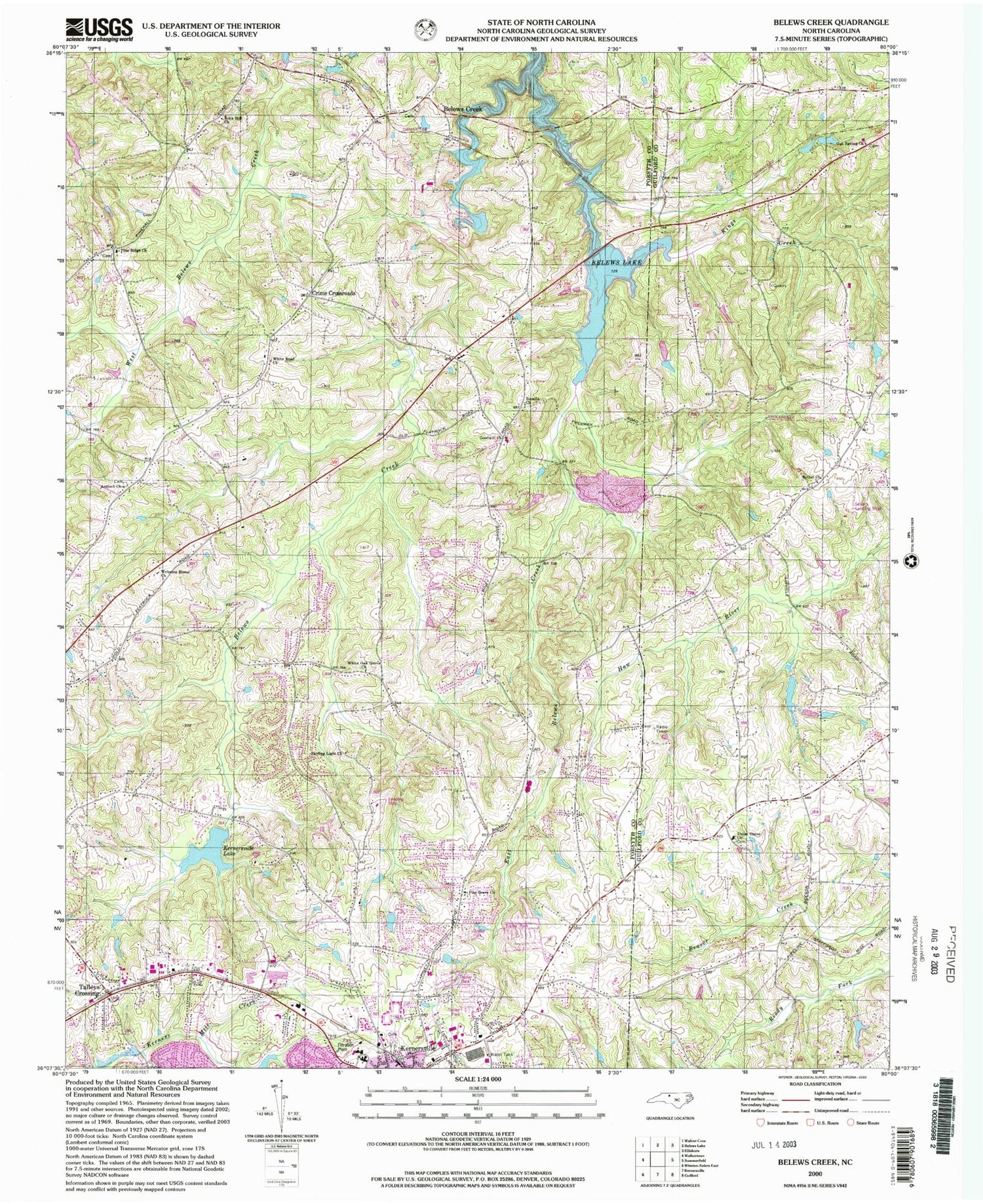
Historical USGS topographic quad map of Belews Creek in the state of North Carolina. Map scale may vary for some years, but is generally around 1:24,000. Print size is approximately 24" x 27"
This quadrangle is in the following counties: Forsyth, Guilford.
The map contains contour lines, roads, rivers, towns, and lakes. Printed on high-quality waterproof paper with UV fade-resistant inks, and shipped rolled.
Contains the following named places: Abington, Antioch Church, Applegate, Atkins Dam, Atkins Lake, Belews Creek, Belews Creek Fire and Rescue Department, Belews Creek Post Office, Benefit, Benefit Church, Bethel Church, Bonanza Hills, Brinkley Estates, Cash Elementary School, Cliffwood, Crims Crossroads, DS Butler Farm and Airfield, East Belews Creek, East Lawn Gardens of Memory, Emorywood Estates, Goodwill Church, Greystone Forest, Hampstead, Joyners Lake, Joyners Lake Dam, Kernersville Elementary School, Kernersville Fire Department Station 1 Headquarters, Kernersville Fire Department Station 3, Kernersville Lake, Kernersville Water Supply Dam, Kimberly Acres, Kings Creek, K-Ville Air Incorporated Airport, Kynwood, Linville Lake, Linville Lake Dam, Lower Merchants Lake, Lower Merchants Lake Dam, Mount Gur Cemetery, Oak Spring Church, Pine Grove Church, Pine Knolls, Pine Ridge Church, Piney Grove Fire and Rescue Department, Pope Dam, Pope Lake, Rock Hill Church, Shining Light Church, Smokerise, Talleys Crossing, Talleys Crossing Fire Department, Tandon Lake, Tandon Lake Dam, Thompson Dam, Thompson Lake, Timber Trails, Township of Belews Creek, Township of Kernersville, Union Grove Church, Upper Merchants Lake, Upper Merchants Lake Dam, Walkers Lake, Walkers Lake Dam, Welcome Home Church, White Oak Grove Church, White Road, White Road Church, WLXI-TV (Greensboro), ZIP Code: 27009
