MyTopo
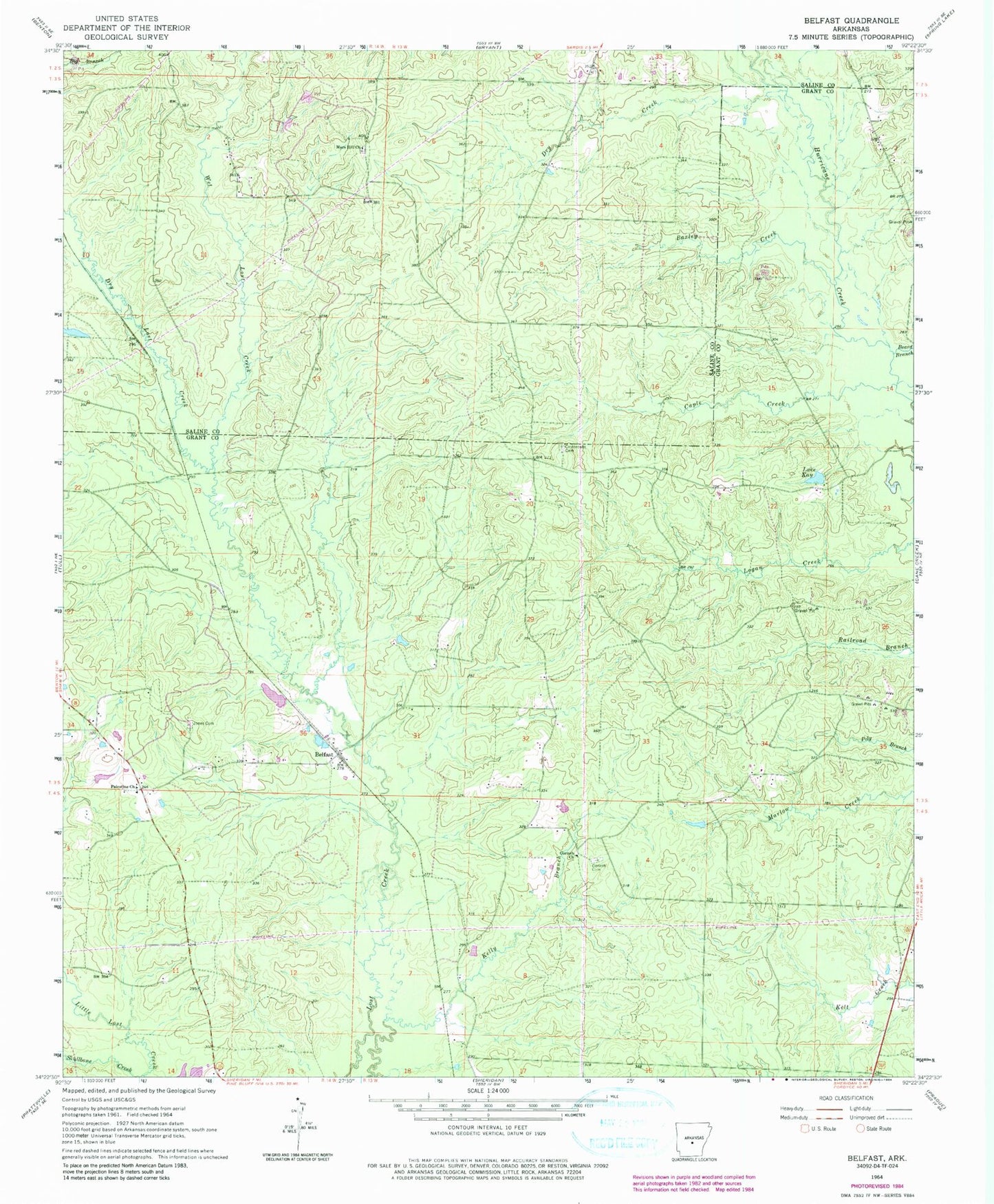
Classic USGS Belfast Arkansas 7.5'x7.5' Topo Map
Couldn't load pickup availability
Historical USGS topographic quad map of Belfast in the state of Arkansas. Map scale may vary for some years, but is generally around 1:24,000. Print size is approximately 24" x 27"
This quadrangle is in the following counties: Grant, Saline.
The map contains contour lines, roads, rivers, towns, and lakes. Printed on high-quality waterproof paper with UV fade-resistant inks, and shipped rolled.
Contains the following named places: Beard Branch, Belfast, Belfast Palestine Rural Fire Department, Boxley Creek, Caple Creek, Corinth Cemetery, Corinth Church, Crossroads Cemetery, Dry Creek, Dry Lost Creek, Fiser Lake, Fiser Lake Dam, Jones Cemetery, Lake Kay, Lake Kay Dam, Mars Hill Church, Palestine Church, Skullbone Creek, Southwest Hospital Heliport, Township of Franklin, Township of Smith, Wet Lost Creek