MyTopo
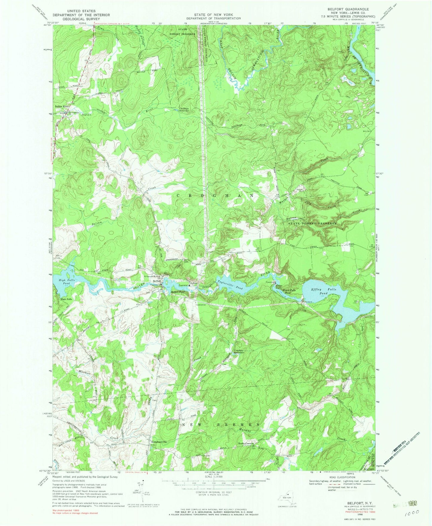
Classic USGS Belfort New York 7.5'x7.5' Topo Map
Couldn't load pickup availability
Historical USGS topographic quad map of Belfort in the state of New York. Typical map scale is 1:24,000, but may vary for certain years, if available. Print size: 24" x 27"
This quadrangle is in the following counties: Lewis.
The map contains contour lines, roads, rivers, towns, and lakes. Printed on high-quality waterproof paper with UV fade-resistant inks, and shipped rolled.
Contains the following named places: Balsam Creek, Balsam Creek, Belfort Pond, Bushs Corners, Carthage Reservoir, Cold Creek, Croghan Reservoir, Effley Falls Pond, Elmer Falls Pond, High Falls Pond, Kirschnerville, Saint Anthonys Church, Saint Vincent De Paul Church, Sandy Creek, Taylorville Pond, Warner Creek, Elmer Falls, Belfort, High Falls, Indian River, Town of Croghan, Henry School (historical), Sweet School (historical), Moser Farm