MyTopo
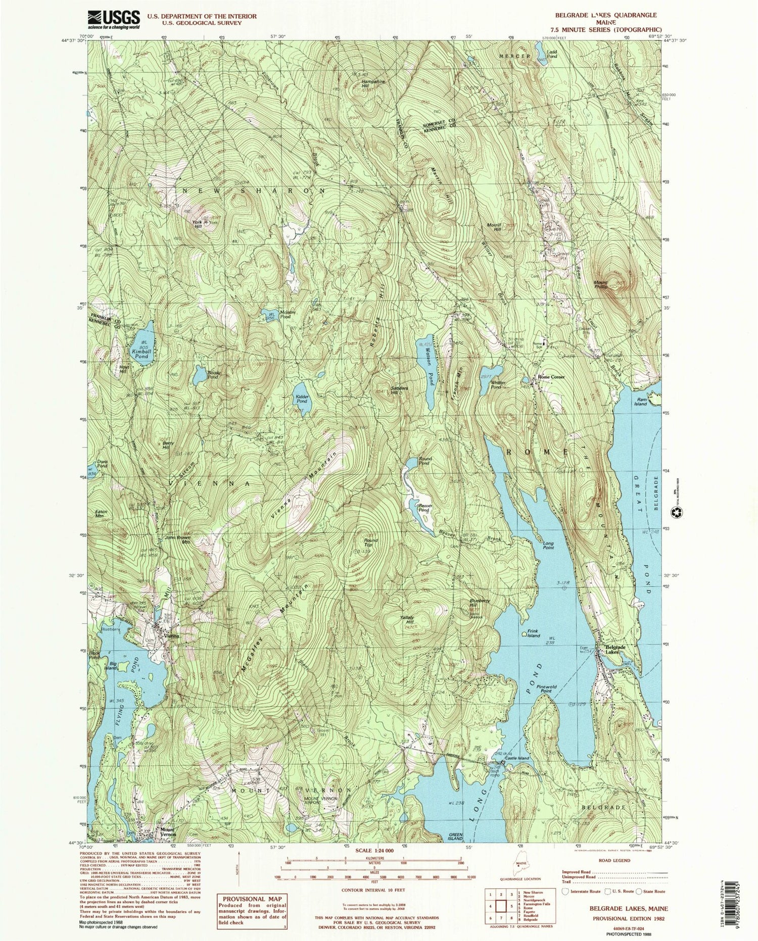
Classic USGS Belgrade Lakes Maine 7.5'x7.5' Topo Map
Couldn't load pickup availability
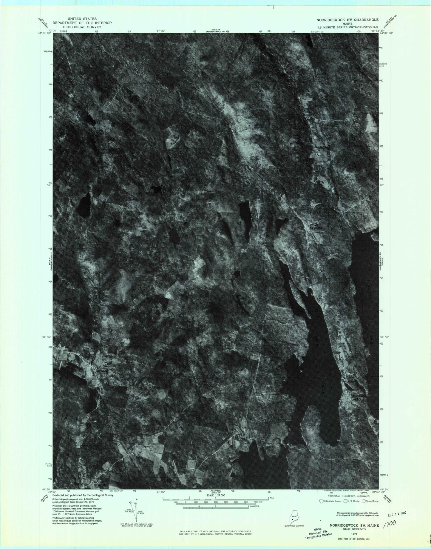
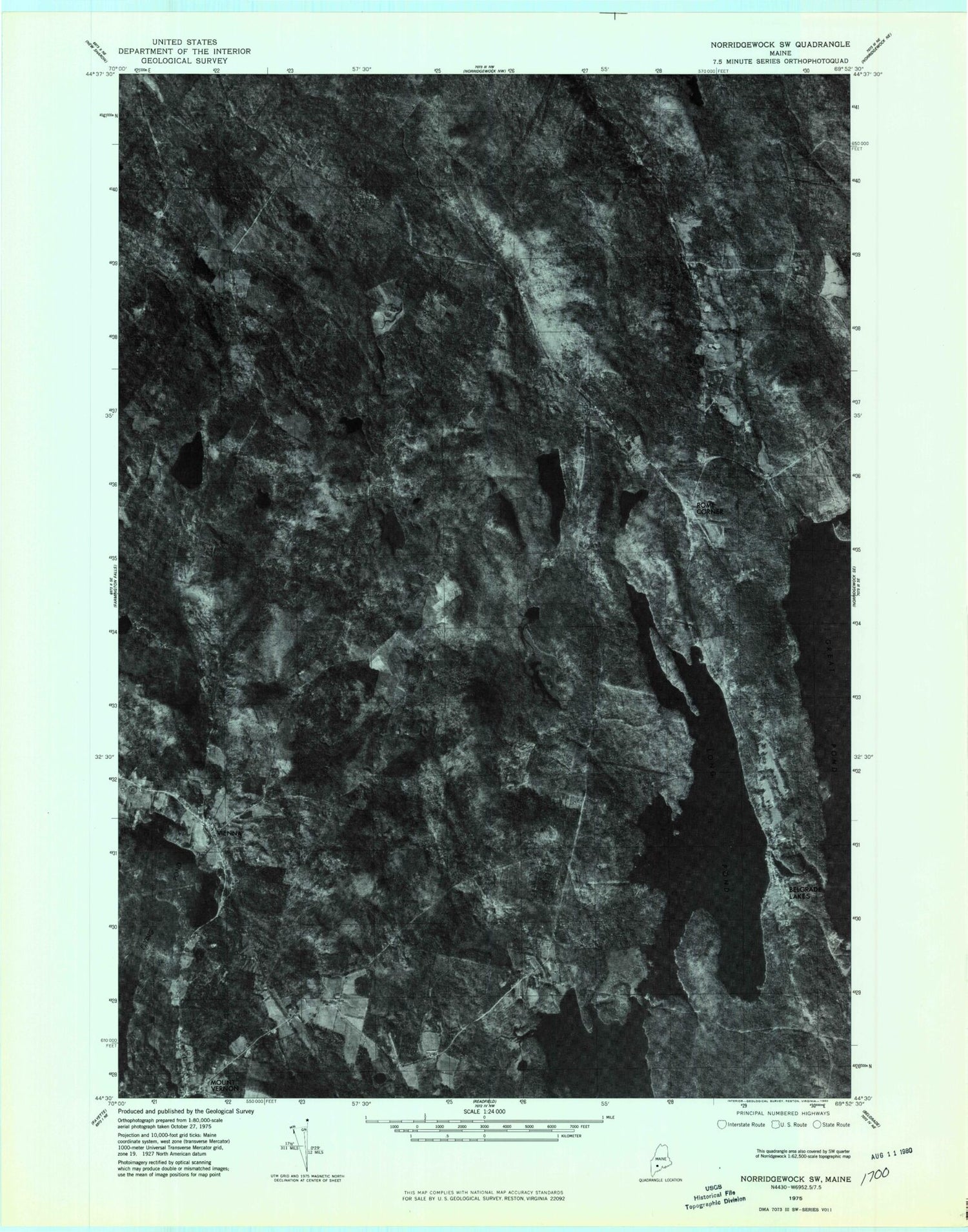
Historical USGS topographic quad map of Belgrade Lakes in the state of Maine. Typical map scale is 1:24,000, but may vary for certain years, if available. Print size: 24" x 27"
This quadrangle is in the following counties: Franklin, Kennebec, Somerset.
The map contains contour lines, roads, rivers, towns, and lakes. Printed on high-quality waterproof paper with UV fade-resistant inks, and shipped rolled.
Contains the following named places: Beaver Brook, Beaver Pond, Belgrade Lakes, Berry Hill, Big Island, Boody Pond, Castle Island, Davis Pond, Doloff Pond, Pinewold Point, Flying Pond, French Mountain, Blueberry Hill, Frink Island, Hampshire Hill, Hoyt Hill, John Brown Mountain, Ram Island, Kidder Pond, Kimball Pond, Ladd Pond, Long Point, Long Pond, Loon Island, Martin Hill, McGaffey Mountain, McIntire Pond, Mill Stream, Morrill Hill, Mount Vernon, Mount Philip, Roberts Hill, Rome Corner, Rome Trout Brook, Round Pond, Round Top, Sanders Hill, Stony Brook, The Mountain, Vienna, Vienna Mountain, Watson Pond, Whittier Brook, Whittier Pond, Whittier School, Yallaly Hill, York Hill, Mount Vernon Airport (historical), Town of Rome, Great Pond Outlet Dam, Great Pond, Flying Pond Dam, Mill Pond Dam, Mill Pond, Hilton Dam, Mount Vernon Fire Department Station 1, Vienna Fire Station, Belgrade Volunteer Fire Department William Pulsifer Station, Mount Vernon Fire and Rescue Station 2, Rome Fire and Rescue, Haynes Hovey Cemetery, Rome Cemetery, Trask Cemetery, Vienna Town Cemetery, Dr Shaw Memorial Library, Belgrade Public Library, Mount Vernon Post Office, Belgrade Lakes Post Office, Vienna Post Office