
MyTopo
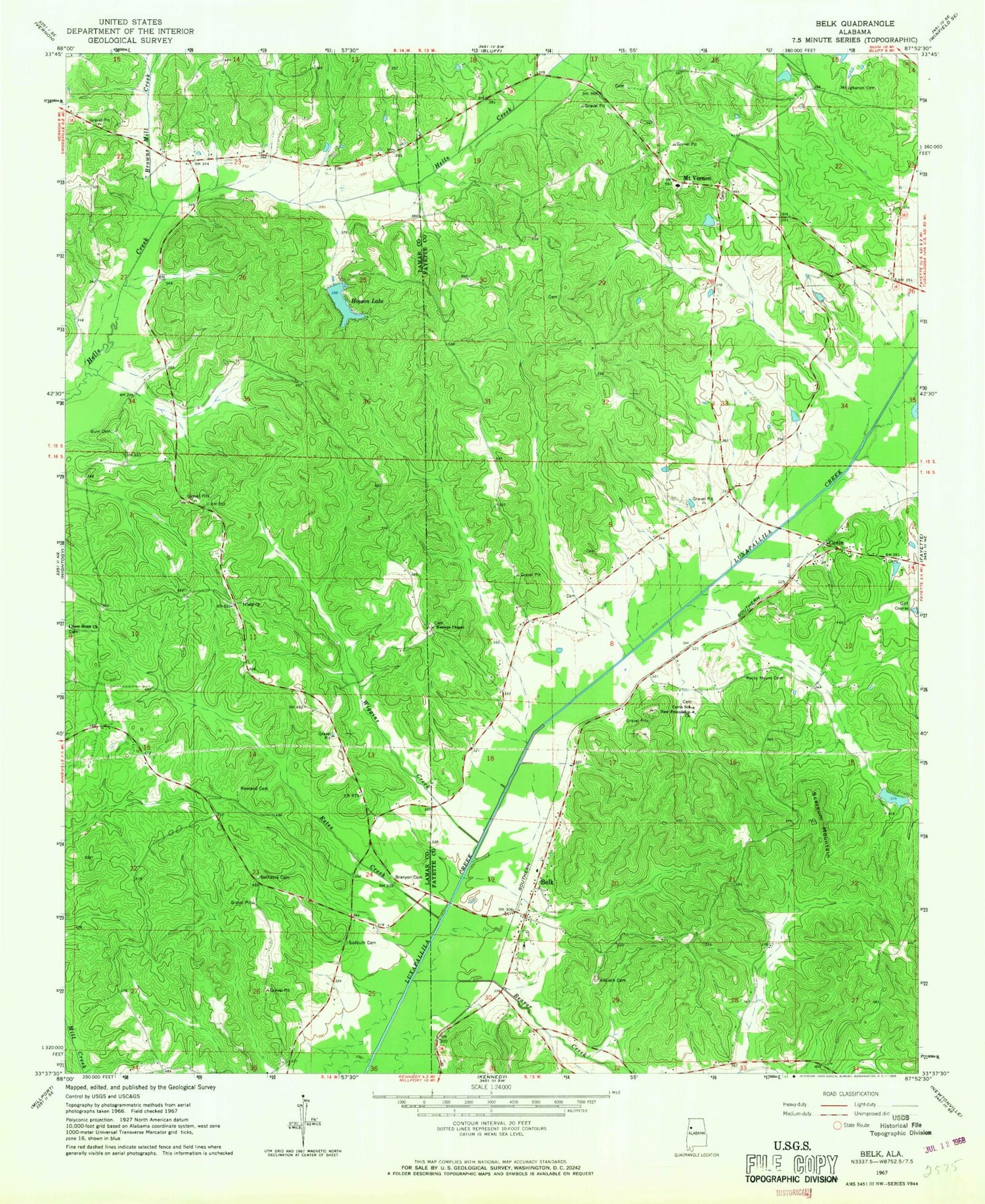
Classic USGS Belk Alabama 7.5'x7.5' Topo Map
Couldn't load pickup availability
Historical USGS topographic quad map of Belk in the state of Alabama. Map scale may vary for some years, but is generally around 1:24,000. Print size is approximately 24" x 27"
This quadrangle is in the following counties: Fayette, Lamar.
The map contains contour lines, roads, rivers, towns, and lakes. Printed on high-quality waterproof paper with UV fade-resistant inks, and shipped rolled.
Contains the following named places: Antioch Cemetery, Baptist Lake, Beaver Church, Beaver Creek, Belk, Belk Junior High School, Belk Post Office, Belk Volunteer Fire Department, Bethabra Cemetery, Branyon Cemetery, Browns Mill Creek, Cody, Cody Church, Colvin Cemetery, Coosa, Covin, Covin Church, Covin Elementary School, Estes Creek, Guin Cemetery, Hankins Church, Harper Cemetery, Hopson Lake, Little Hope Church, Mount Lebanon Cemetery, Mount Vernon, Mount Vernon Cemetery, Mount Vernon Junior High School, Mount Vernon Methodist Church, New Friendship Cemetery, New Friendship Church, New Hope Cemetery, New Hope Church, Pilgrim Church, Renfroe Valley, Rock Hill Church, Rocky Mount Cemetery, Rowland Cemetery, Scareum Mountain, Southwest Fayette Gas Field, Sudduth Cemetery, Town of Belk, W W Bobo Dam, Wesley Chapel Methodist Church, Wesleys Chapel Cemetery, West Fayette Gas Field, Wiggins Creek, Yates Dam, ZIP Code: 35545


