MyTopo
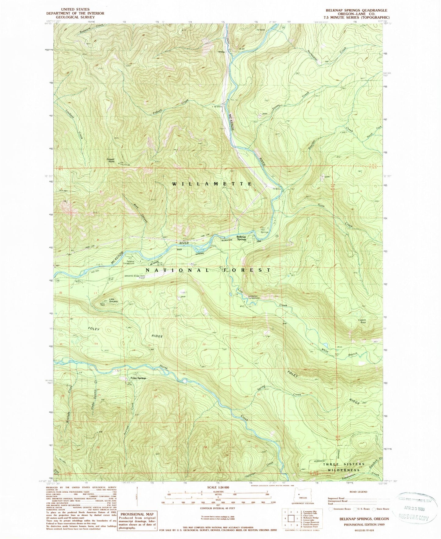
Classic USGS Belknap Springs Oregon 7.5'x7.5' Topo Map
Couldn't load pickup availability
Historical USGS topographic quad map of Belknap Springs in the state of Oregon. Map scale may vary for some years, but is generally around 1:24,000. Print size is approximately 24" x 27"
This quadrangle is in the following counties: Lane.
The map contains contour lines, roads, rivers, towns, and lakes. Printed on high-quality waterproof paper with UV fade-resistant inks, and shipped rolled.
Contains the following named places: Avenue Creek, Belknap Camp, Belknap Hot Spring, Belknap Springs, Belknap Springs Post Office, Blue Canyon, Boulder Creek, Cedar Swamp Creek, Cupola Rock, Deer Creek, Dry Creek, Foley Hot Springs, Foley Springs, Foley Springs Post Office, Frissell Creek, Frissell Point, Haflinger Creek, Harvard Creek, Hot Spring, Lakes End Recreation Site, Limberlost Recreation Site, Little Smokey, Lost Creek, McKenzie Bridge State Airport, McKenzie River National Recreational Trail, McKenzie River Ranger Station, North Fork Boulder Creek, Norwegian Creek, Paradise Campground Boat Ramp, Paradise Recreation Site, Rainbow Creek, Rainbow Falls, Scott Creek, Spring Creek, Twisty Creek, United States Forest Service McKenzie River Ranger District, White Branch, Wilelada Creek


