MyTopo
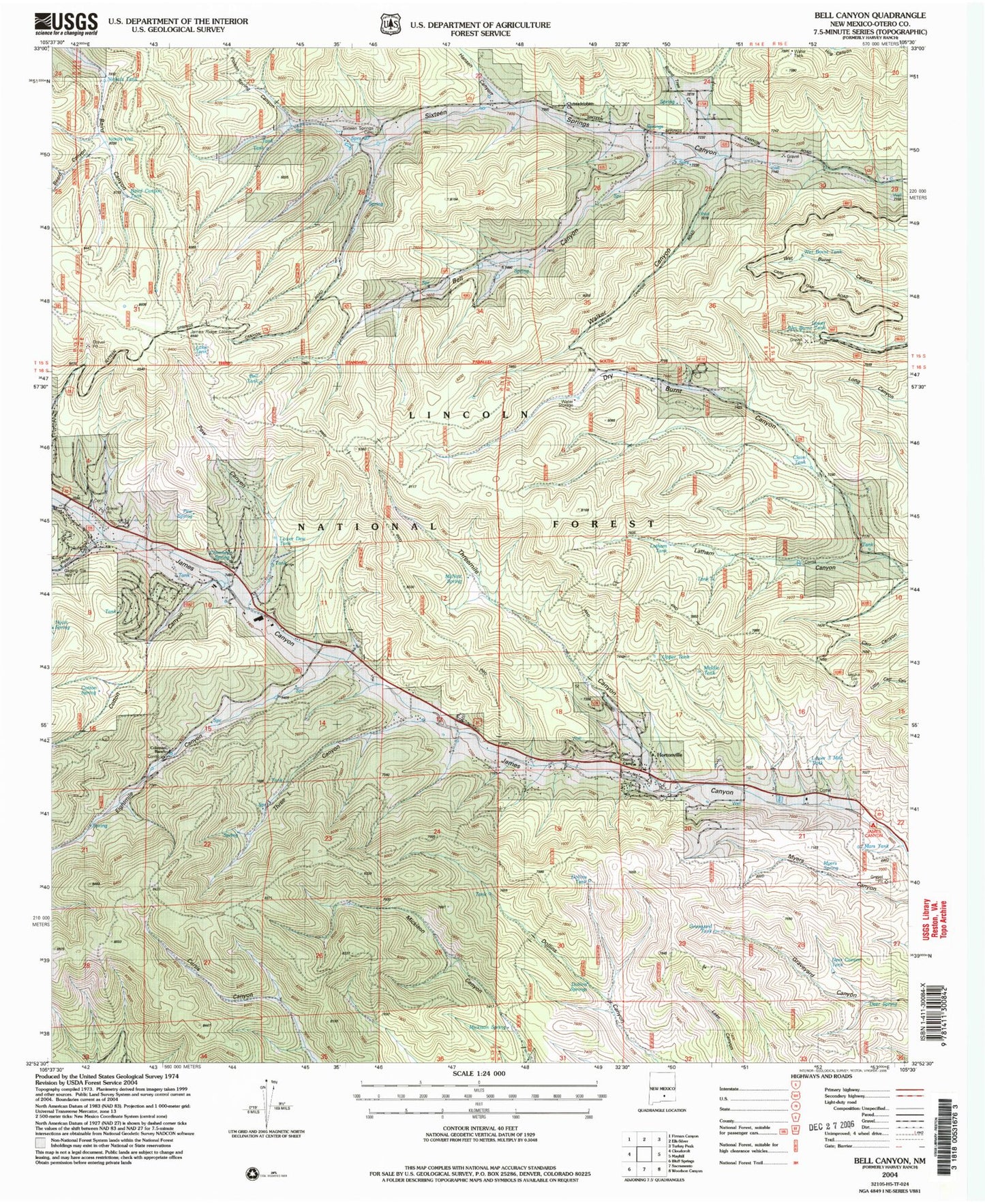
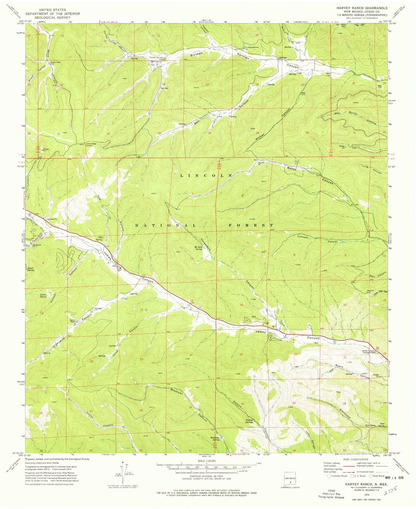
Classic USGS Bell Canyon New Mexico 7.5'x7.5' Topo Map
Couldn't load pickup availability
Historical USGS topographic quad map of Bell Canyon in the state of New Mexico. Typical map scale is 1:24,000, but may vary for certain years, if available. Print size: 24" x 27"
This quadrangle is in the following counties: Otero.
The map contains contour lines, roads, rivers, towns, and lakes. Printed on high-quality waterproof paper with UV fade-resistant inks, and shipped rolled.
Contains the following named places: Myers Spring, Pew Spring, Poison Spring Canyon, Beard Canyon, Bell Canyon, Board Tree Canyon, Christadelphian Church, Cotton Canyon, Cotton Spring, Dollins Spring, Eightmile Canyon, Hansen Canyon, Coleman Ranch, Hyatt Canyon, Hyatt Spring, James Canyon Campground, Latham Canyon, McNatt Spring, Mickison Spring, Nickols Well, Pew Canyon, Chimney Spring, Sixteen Springs Canyon Cemetery, Three L Canyon, Threemile Canyon, Walker Canyon, Dollins Tank, Upper Tank, Latham Tank, Lower Wet Burnt Tank, Middle Tank, Graveyard Tank, Lake Tank, Baird Canyon Tank, Nickols Tank, Bell Tank, Wet Burnt Tank, Claim Tank, Lower 3 Mile Tank, Mars Tank, Deer Canyon Tank, Deer Spring, Grainery Tank, James Ridge Lookout, Hortonville, Church Camp, Lower Dew Tank, Mayhill Volunteer Fire Department Substation 2, James Canyon Volunteer Fire Department Station 2, Sixteen Springs Canyon Volunteer Fire Department


