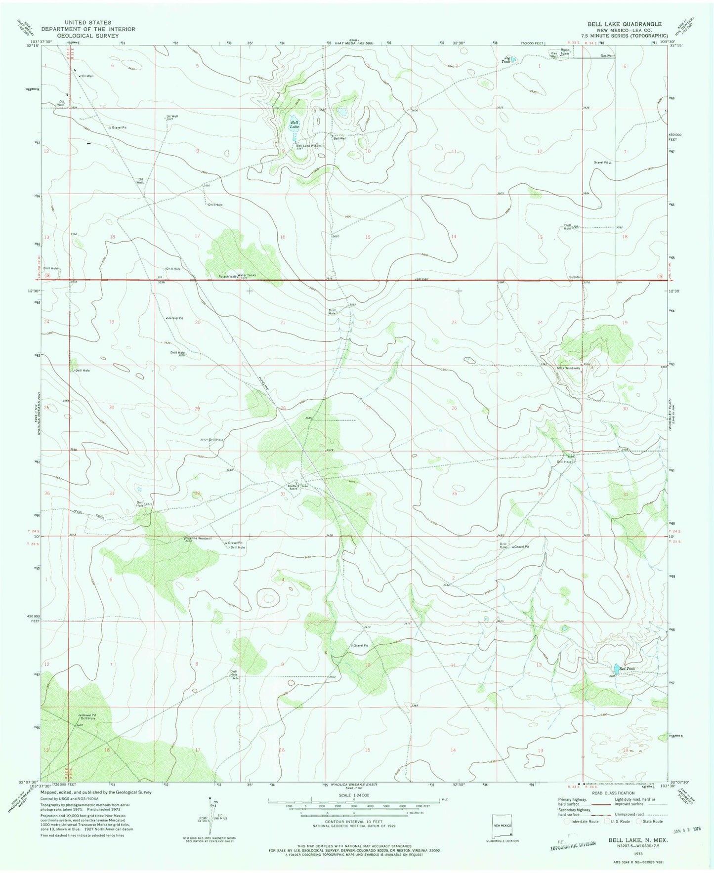
MyTopo
Classic USGS Bell Lake New Mexico 7.5'x7.5' Topo Map
Regular price
$16.95
Regular price
Sale price
$16.95
Unit price
per
Couldn't load pickup availability
Historical USGS topographic quad map of Bell Lake in the state of New Mexico. Map scale may vary for some years, but is generally around 1:24,000. Print size is approximately 24" x 27"
This quadrangle is in the following counties: Lea.
The map contains contour lines, roads, rivers, towns, and lakes. Printed on high-quality waterproof paper with UV fade-resistant inks, and shipped rolled.
Contains the following named places: 05059 Water Well, 12714 Water Well, 12715 Water Well, 12716 Water Well, 12717 Water Well, 13631 Water Well, Bell Lake, Bell Lake Windmill, Big Well, Double X Ranch, Jog Tank, Pipeline Windmill, Red Tank, Slick Windmills