MyTopo
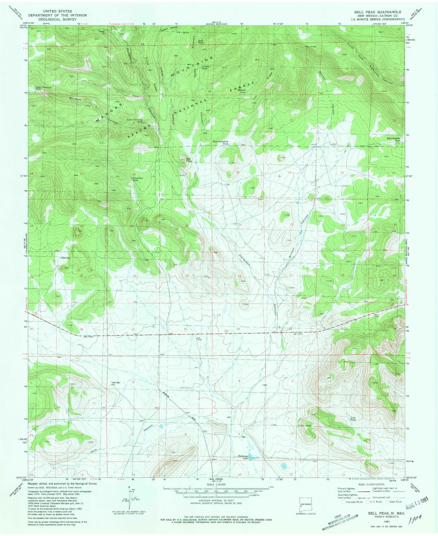
Classic USGS Bell Peak New Mexico 7.5'x7.5' Topo Map
Couldn't load pickup availability
Historical USGS topographic quad map of Bell Peak in the state of New Mexico. Map scale is 1:24000. Print size is approximately 24" x 27"
This quadrangle is in the following counties: Catron.
The map contains contour lines, roads, rivers, towns, and lakes. Printed on high-quality waterproof paper with UV fade-resistant inks, and shipped rolled.
Contains the following named places: Barreras Canyon, Bell Peak, Carrejo Tank, Celeo Well, Cross Ridge, Dark Canyon, East Sanchez Tank, Flat Ridge, Francisco Tank, Gallina Canyon, Gate Tank, Horse Springs Bible Cemetery, Jaramillo Ranch, Ladies Canyon, Lady Tank, Landing Camp Canyon, Loco Tank, Lower Barreras Tank, Manuel Tank, Paterson Spring, Patterson Canyon, Patterson Lake, Plains of San Agustin, Plains of San Augustin Historical Marker, Rincon Canyon, Sotolee Spring, Todd Water Well, Upper Barreras Tank, Well A-1 Water Well, West Boundary Tank