MyTopo
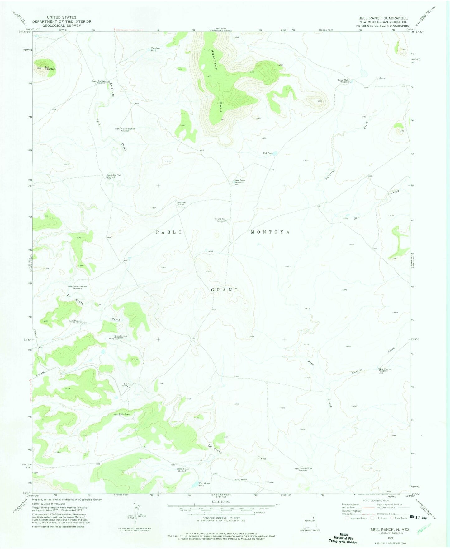
Classic USGS Bell Ranch New Mexico 7.5'x7.5' Topo Map
Couldn't load pickup availability
Historical USGS topographic quad map of Bell Ranch in the state of New Mexico. Map scale may vary for some years, but is generally around 1:24,000. Print size is approximately 24" x 27"
This quadrangle is in the following counties: San Miguel.
The map contains contour lines, roads, rivers, towns, and lakes. Printed on high-quality waterproof paper with UV fade-resistant inks, and shipped rolled.
Contains the following named places: Bell Mountain, Bell Ranch, Bell Ranch Headquarters Airport, Bell Ranch Post Office, Big Flat Corral, Bueyeros Creek, Creek Pasture Windmill, Huerfano Tank, Lane Pasture Windmill, Lower Mule Windmill, Middle Big Flat Windmill, Muertos Creek, New Farm Windmill, New Muertos Windmill, Red Tank, Round Top Windmill, Seco Creek, South Big Flat Windmill, South Pasture Windmill, Upper Big Flat Windmill, Upper Gavilan Windmill, West Bronc Tank, West Bronc Windmill