MyTopo
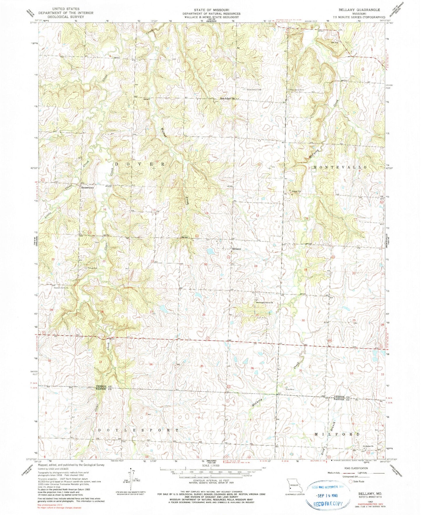
Classic USGS Bellamy Missouri 7.5'x7.5' Topo Map
Couldn't load pickup availability
Historical USGS topographic quad map of Bellamy in the state of Missouri. Map scale may vary for some years, but is generally around 1:24,000. Print size is approximately 24" x 27"
This quadrangle is in the following counties: Barton, Vernon.
The map contains contour lines, roads, rivers, towns, and lakes. Printed on high-quality waterproof paper with UV fade-resistant inks, and shipped rolled.
Contains the following named places: Arbor Grove Cemetery, Bellamy, Bellamy School, Blanchards Lake, Claflin Lake Dam, Dunnegan Grove Cemetery, Dunnegan Grove Church, Little Clear Creek, New Harmony School, Olive Branch Cemetery, Olive Branch Church, Phillips School, Pleasant Plain School, Pottorf Lake Dam, Rousertown, Saint James Cemetery, Saint James Church, Science Hill School, Stone Front School, Tolson Cemetery, Township of Dover, Walnut Creek, Warwick Cemetery, Warwick School, Wise, ZIP Codes: 64767, 64784