MyTopo
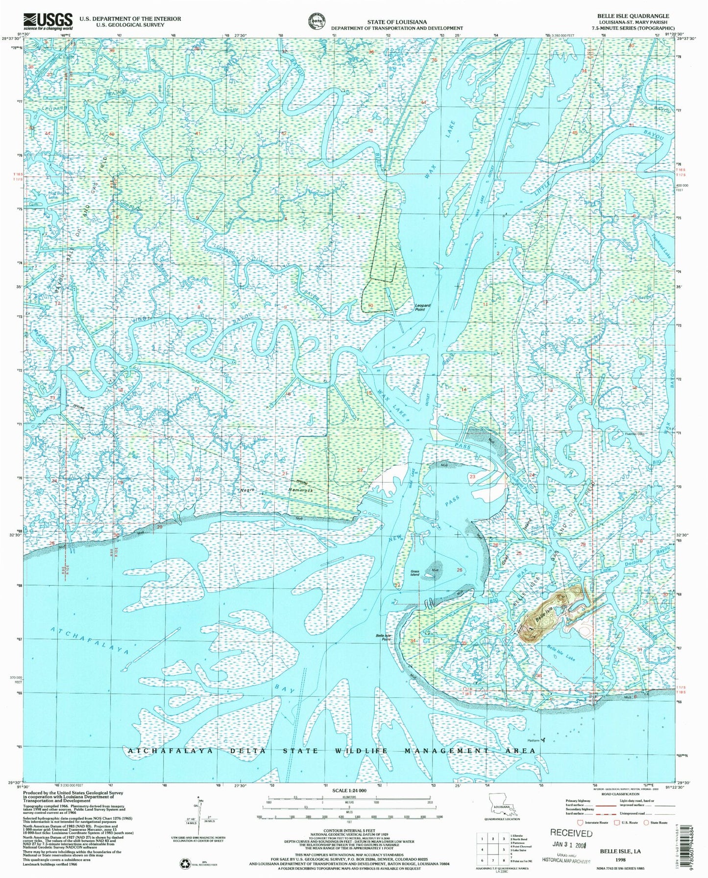
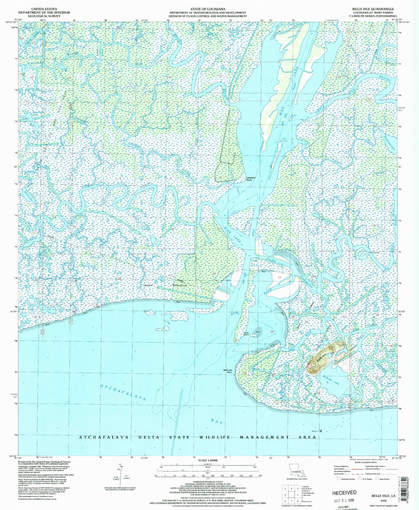
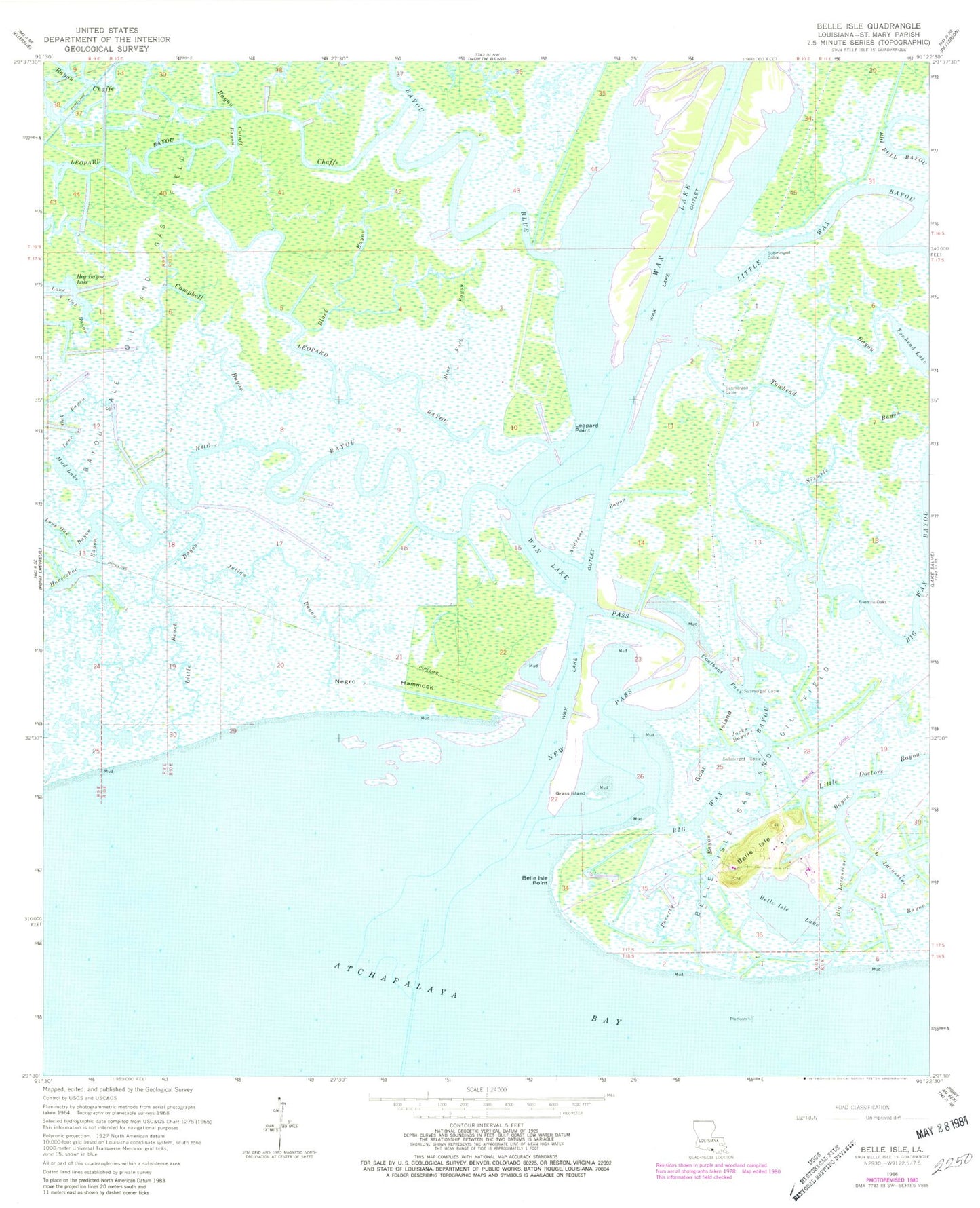
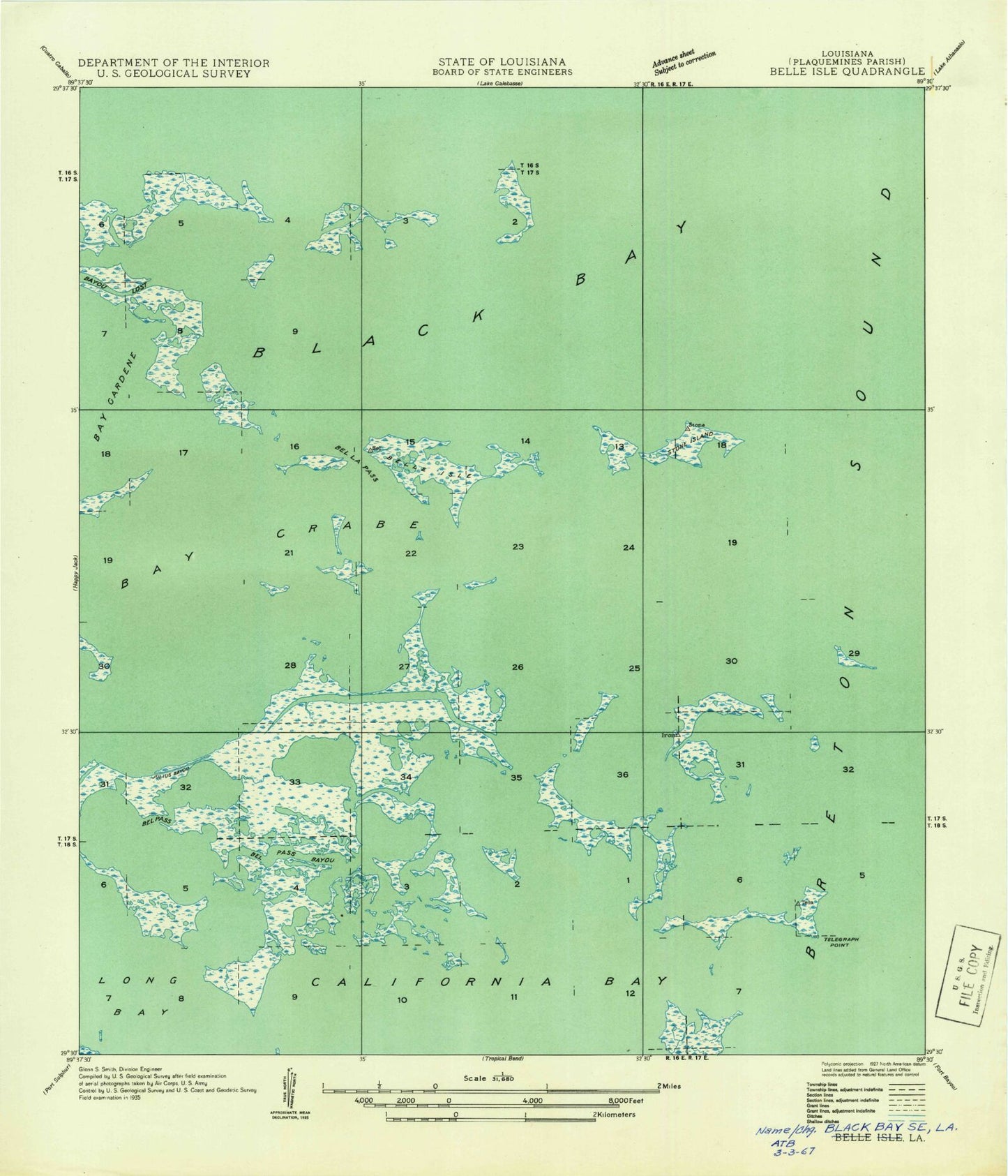
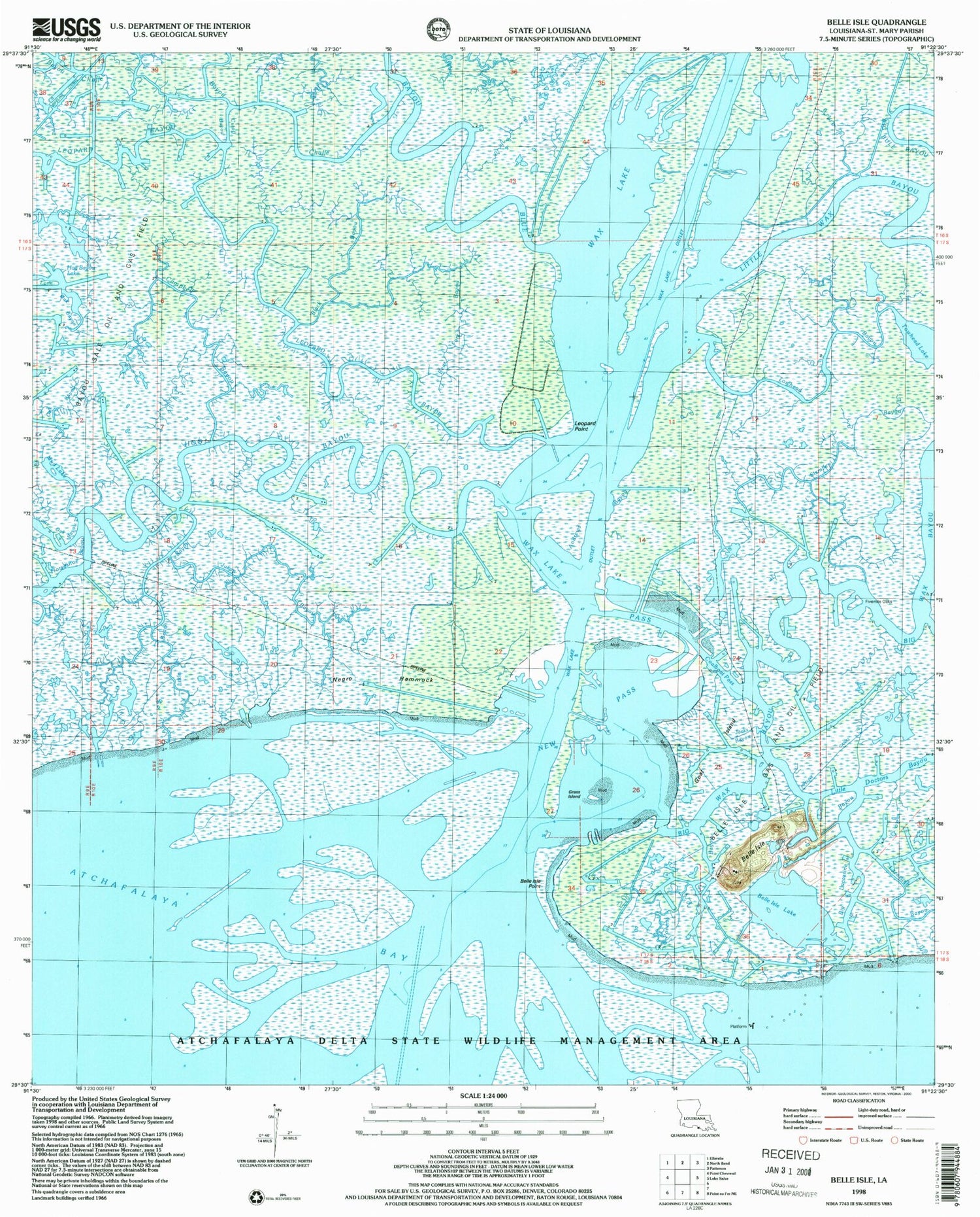
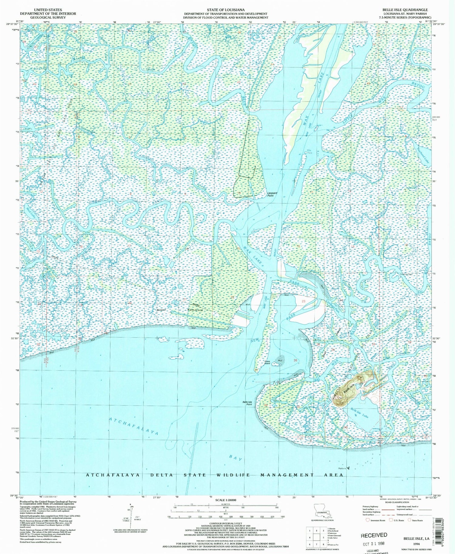
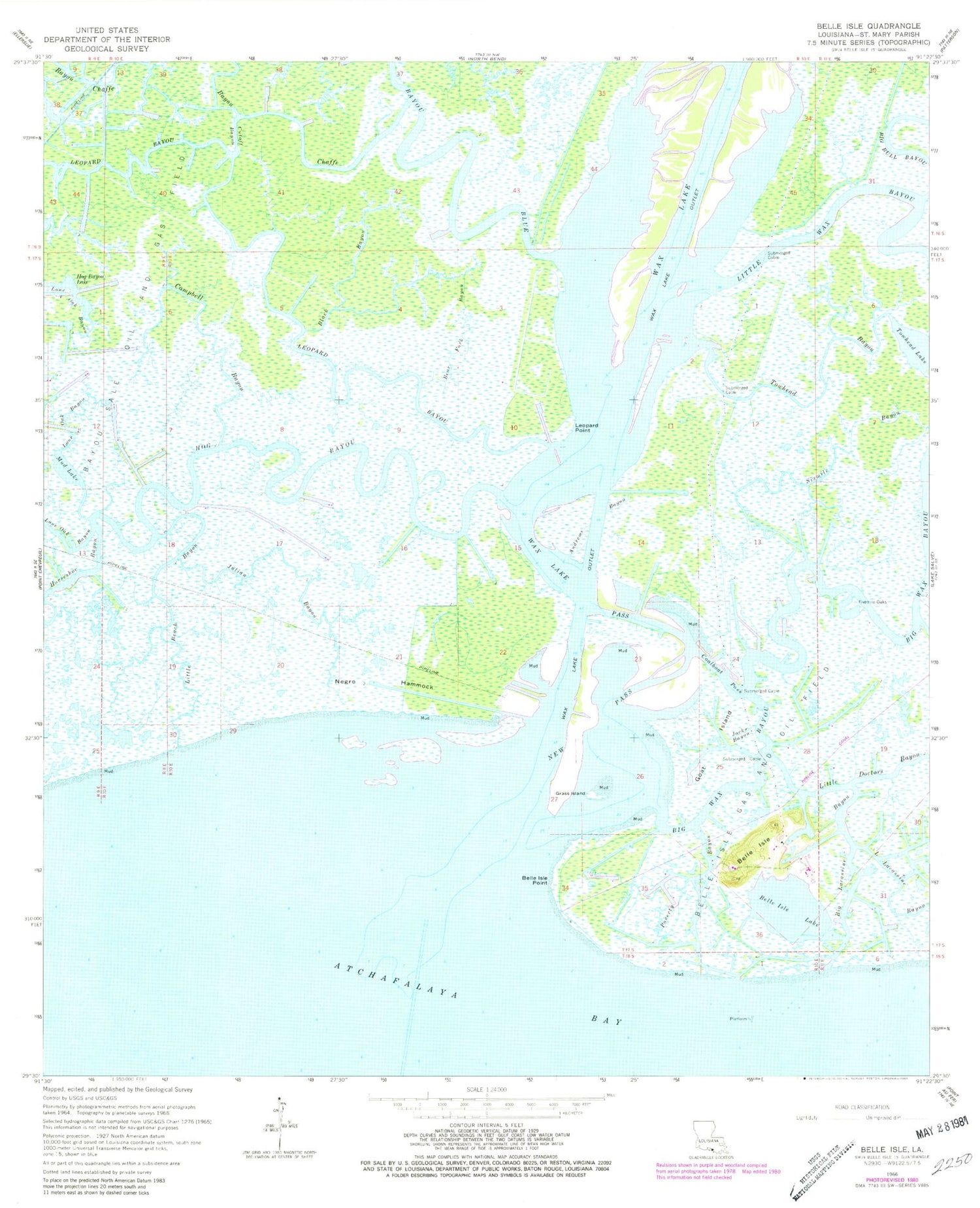
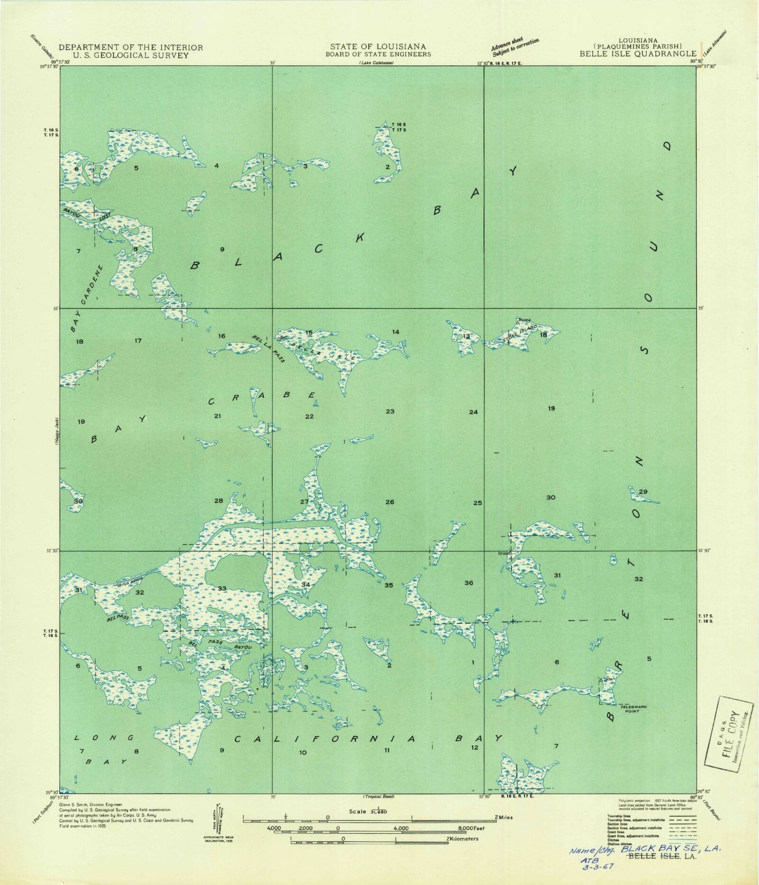
Classic USGS Belle Isle Louisiana 7.5'x7.5' Topo Map
Couldn't load pickup availability
Historical USGS topographic quad map of Belle Isle in the state of Louisiana. Map scale may vary for some years, but is generally around 1:24,000. Print size is approximately 24" x 27"
This quadrangle is in the following counties: St. Mary.
The map contains contour lines, roads, rivers, towns, and lakes. Printed on high-quality waterproof paper with UV fade-resistant inks, and shipped rolled.
Contains the following named places: Andrews Bayou, Bayou Blue, Bayou Chaffe, Bear Fork Bayou, Belle Isle, Belle Isle Gas and Oil Field, Belle Isle Lake, Belle Isle Point, Big Lacassine Bayou, Big Wax Bayou, Black Bayou, Campbell Bayou, Coalboat Pass, Cutoff Bayou, Fivemile Oaks, Goat Island, Grass Island, Hog Bayou, Hog Bayou Lake, Horseshoe Bayou, Jacks Bayou, Julian Bayou, Leopard Bayou, Leopard Point, Little Beach Bayou, Little Lacassine Bayou, Little Wax Bayou, Mud Lake, Negro Hammock, New Pass, Parish Governing Authority District 4, Poverty Bayou, Sixmile Bayou, Towhead Bayou, Towhead Lake, Wax Lake, Wax Lake Outlet, Wax Lake Pass
