MyTopo
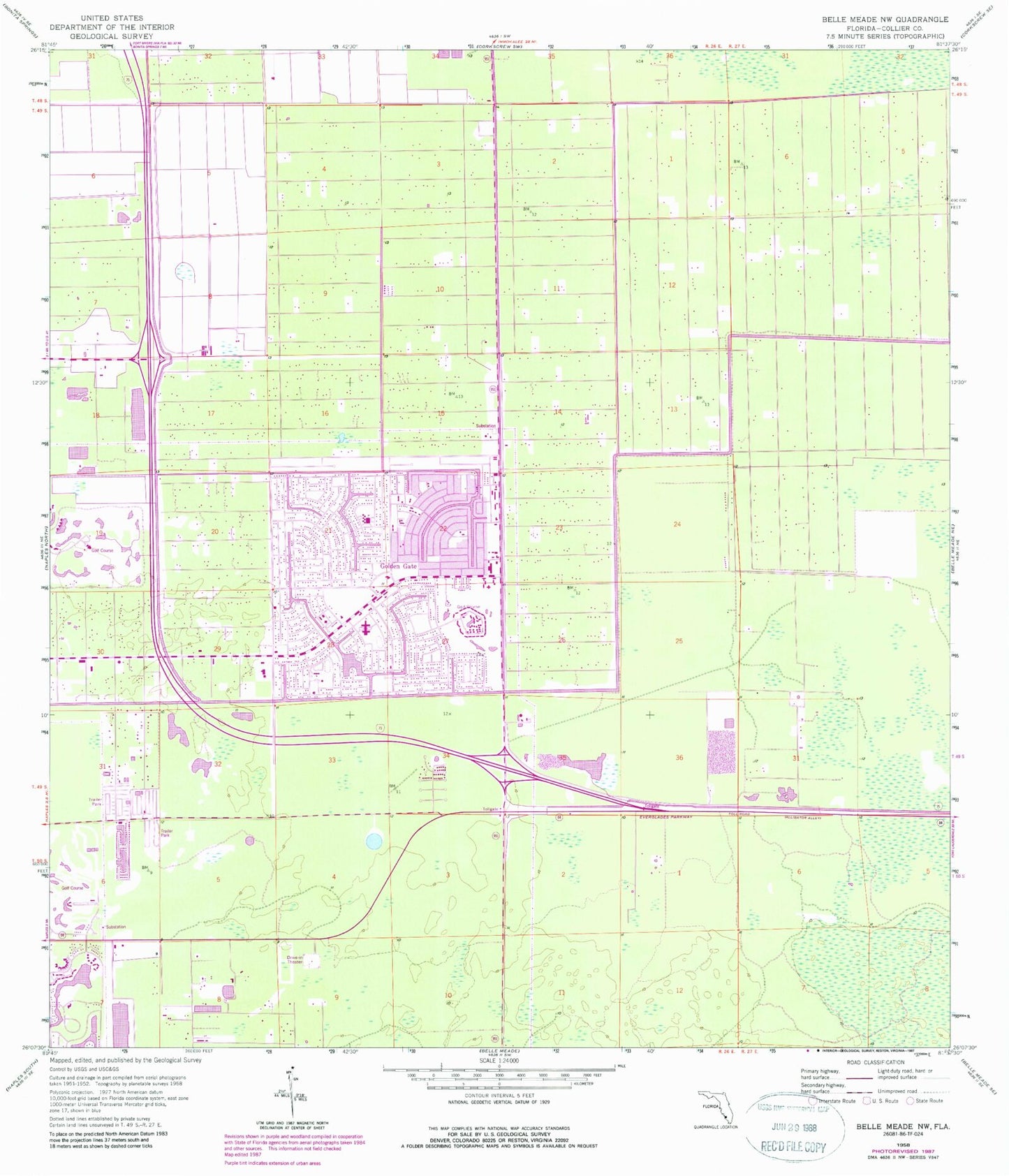
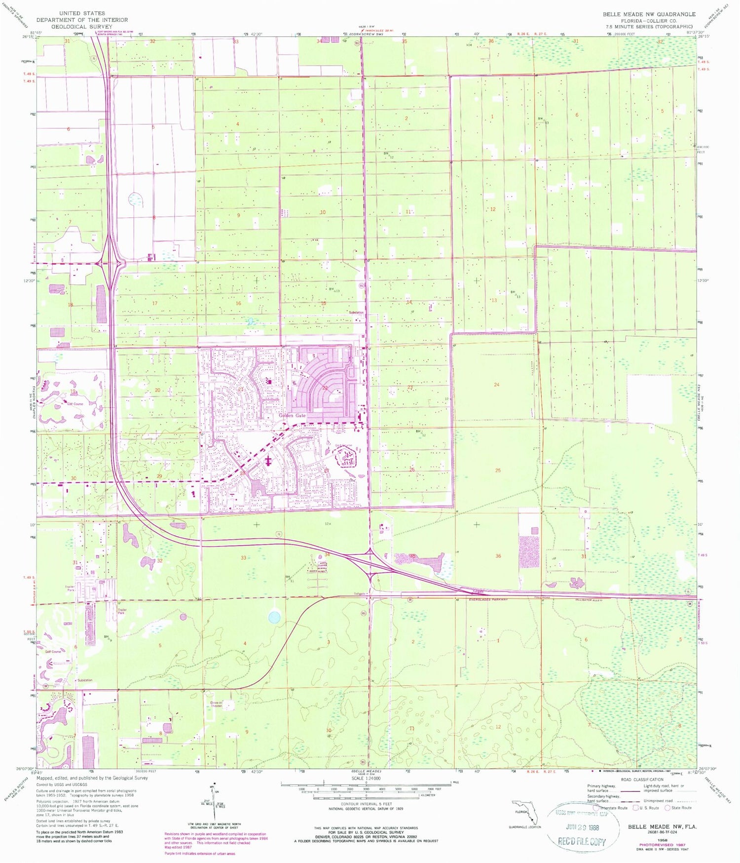
Classic USGS Belle Meade NW Florida 7.5'x7.5' Topo Map
Couldn't load pickup availability
Historical USGS topographic quad map of Belle Meade NW in the state of Florida. Map scale may vary for some years, but is generally around 1:24,000. Print size is approximately 24" x 27"
This quadrangle is in the following counties: Collier.
The map contains contour lines, roads, rivers, towns, and lakes. Printed on high-quality waterproof paper with UV fade-resistant inks, and shipped rolled.
Contains the following named places: Allen Chapel Church, Baptist Spanish Mission, Berkshire Lakes, Berkshire Lakes Census Designated Place, Catholic Church Hall, Collier County Emergency Medical Services Station 46, Collier County Emergency Medical Services Station 70, Collier County Emergency Medical Services Station 71, Collier County Emergency Medical Services Station 75, Collier County Public Library Estates Branch, Collier County Public Library Golden Gate City Branch, Collier County Sheriff's Office District 2, Crokscrew Christian Academy, Endless Summer Mobile Home Park, Florida Highway Patrol Station, Florida Panther National Wildlife Refuge Headquarters, Golden Gate, Golden Gate Census Designated Place, Golden Gate Community Center, Golden Gate Elementary School South Campus, Golden Gate Fire Control and Rescue District Station 70, Golden Gate Fire Control and Rescue District Station 72, Golden Gate Fire Department Control and Rescue District Station 71, Golden Gate Middle School, Golden Gate Post Office, Miles Grant Country Club, Mizner Country Club, Monastery Golf and Country Club, Naples Christian Academy, North Naples Fire Control and Rescue District Station 46, Oyster Creek Golf and Country Club, Physicians Regional Medical Center Pine Ridge, Saint Ann Catholic Parish, Saint John Neumann High School, Seacrest School, Southwind Mobile Village, Sunrise Academy, Tender Loving Care Non - Emergency Medical Transport, Vineyards, Vineyards Census Designated Place, WSGL-FM (Naples), ZIP Codes: 34104, 34116


