MyTopo
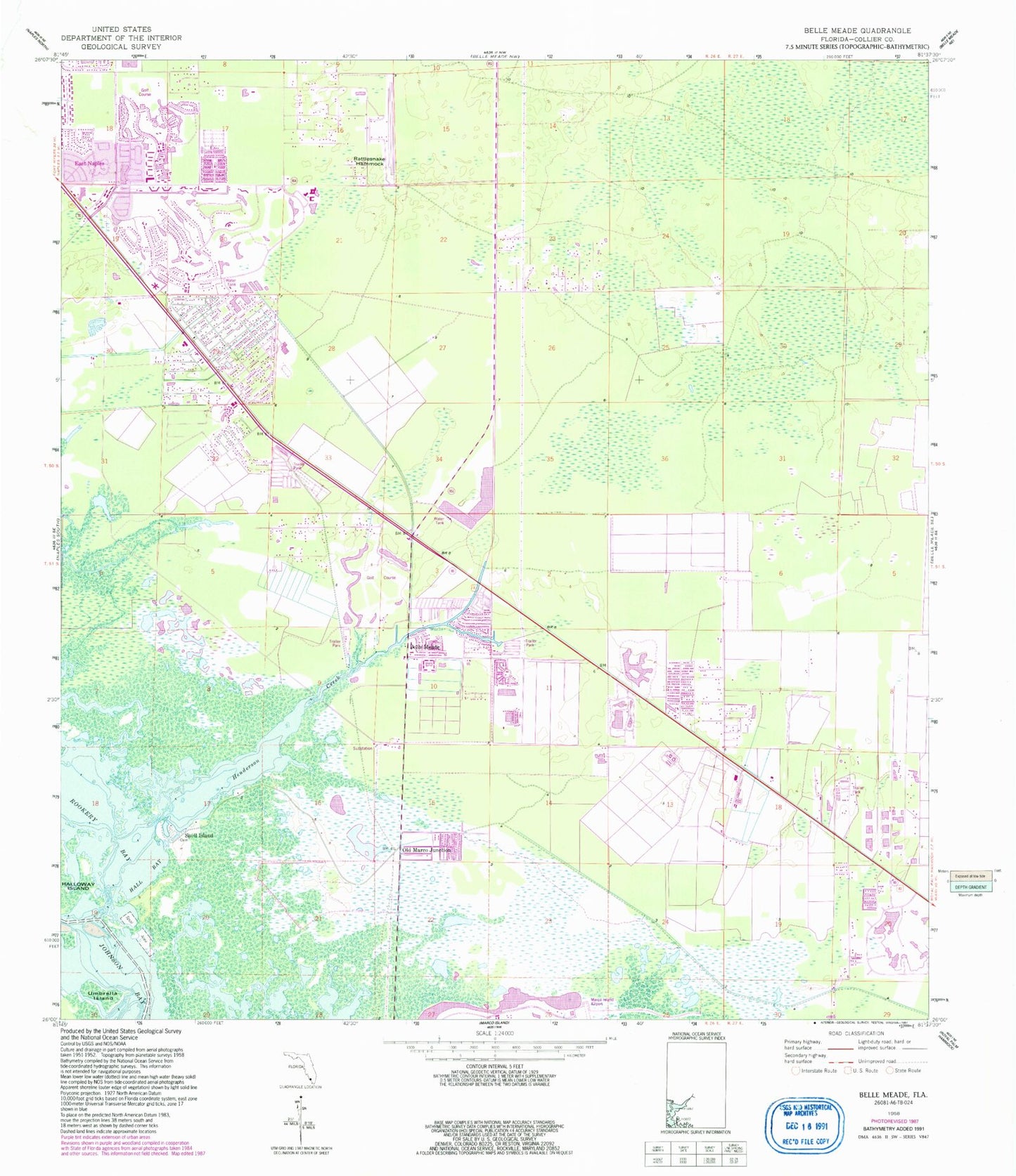
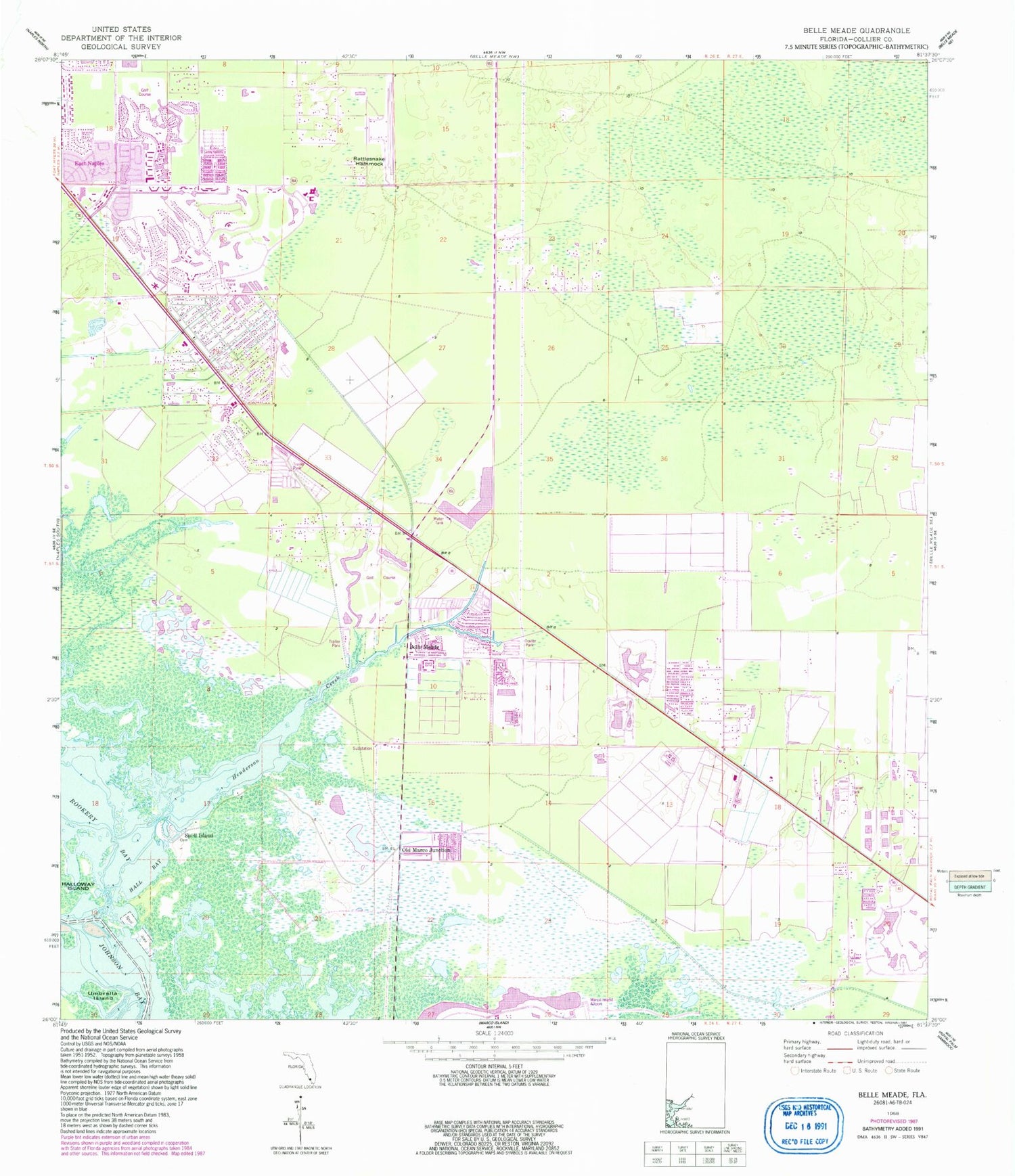
Classic USGS Belle Meade Florida 7.5'x7.5' Topo Map
Couldn't load pickup availability
Historical USGS topographic quad map of Belle Meade in the state of Florida. Map scale may vary for some years, but is generally around 1:24,000. Print size is approximately 24" x 27"
This quadrangle is in the following counties: Collier.
The map contains contour lines, roads, rivers, towns, and lakes. Printed on high-quality waterproof paper with UV fade-resistant inks, and shipped rolled.
Contains the following named places: Belle Meade, Bickford Trailer Park, Cannon Island, Collier County Emergency Medical Services Station 21, Collier County Emergency Medical Services Station 23, Collier County Public Library East Naples Branch, Collier County Sheriff's Office District 3 East Naples Substation, East Naples Fire Control and Rescue District Station 21, East Naples Fire Control and Rescue District Station 23, Edison State College - Collier Campus, Enchanting Shores Mobile Home Park, Hall Bay, Henderson Creek, Iverson Trailer Park, Johnson Bay, Kenyon Mobile Home Park, Lely, Lely Census Designated Place, Lely High School, Lely Resort, Lely Resort Census Designated Place, M and E Trailer Park, Marco Island Airport, Marco Shores Estates Mobile Home Park, Miccosukee Golf and Country Club Marlin Golf Course, Miona Lake Golf Club, Mustang Golf Course, Naples Manor, Naples Manor Census Designated Place, Oakwood Golf Club, Ocala Palms Golf and Country Club, Old Marco Junction, Orange Park Country Club, Orangebrook Country Club, Oriole Golf and Tennis Club of Margate, Pelican Lake Motorcoach Resort, Physicians Regional Medical Center - Collier Boulevard, Rattlesnake Hammock, Shell Island, South Collier County Regional Wastewater Treatment Facility, The Willough at Naples, The Woods, Umbrella Island, Verona Walk Census Designated Place, WBPT-FM (Naples), WGUF-FM (Marco), Whites River, Winding Cypress, Winding Cypress Census Designated Place, Wing South Airpark, WRGI-FM (Naples), ZIP Codes: 34112, 34113


