MyTopo
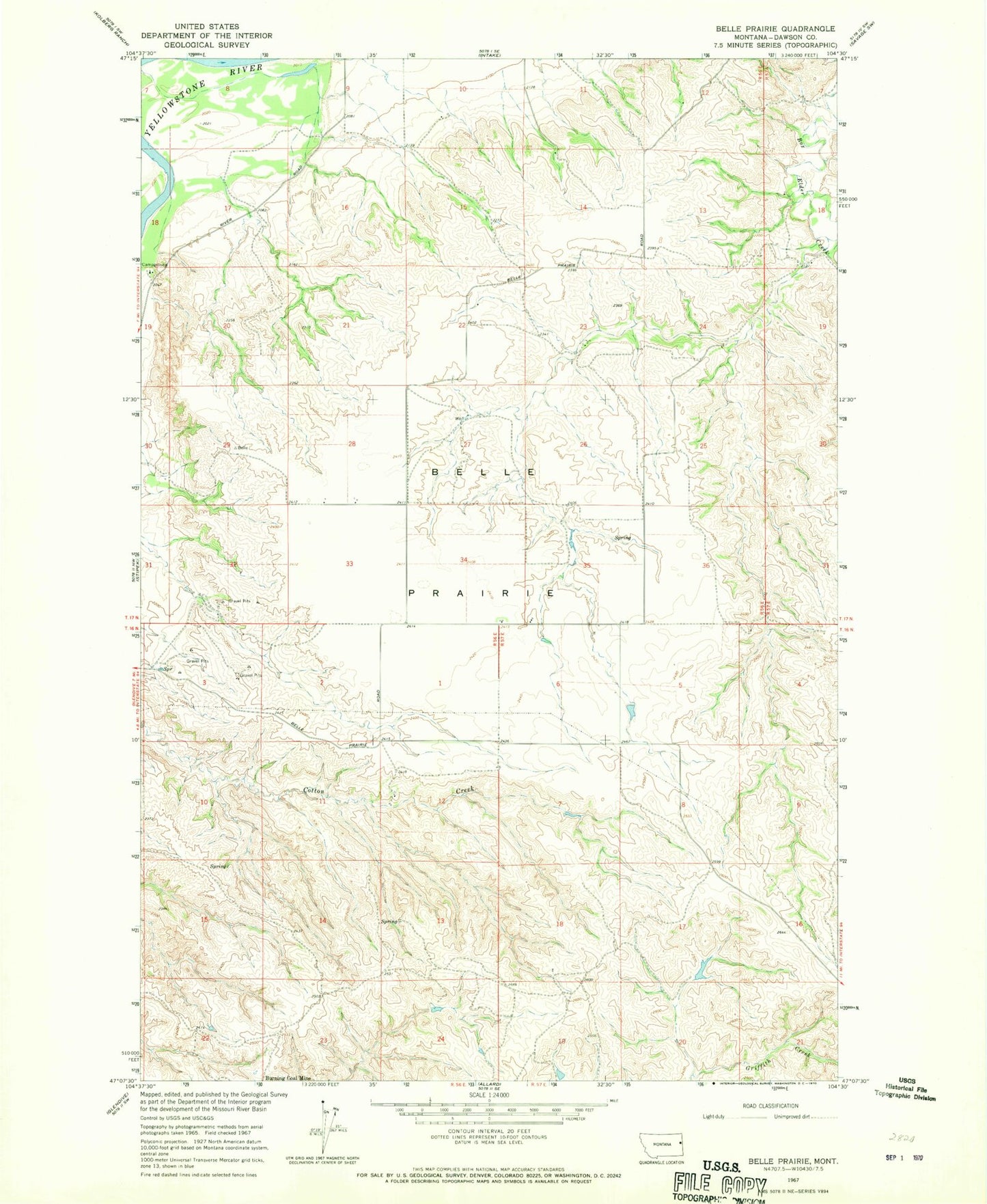
Classic USGS Belle Prairie Montana 7.5'x7.5' Topo Map
Couldn't load pickup availability
Historical USGS topographic quad map of Belle Prairie in the state of Montana. Map scale may vary for some years, but is generally around 1:24,000. Print size is approximately 24" x 27"
This quadrangle is in the following counties: Dawson.
The map contains contour lines, roads, rivers, towns, and lakes. Printed on high-quality waterproof paper with UV fade-resistant inks, and shipped rolled.
Contains the following named places: 16N56E02BDCB01 Well, 16N56E06AABC01 Well, 16N57E05CADA01 Well, 17N56E17BADD01 Well, 17N56E23DBCB01 Well, 17N56E27BDAA01 Well, Arthur Number 1 Dam, Belle Prairie, Belle Prairie School, Box Elder School, Coal Coulee, District Two School, Lower Belle Prairie School, Schoolhouse Coulee School, Serrine Creek, Shryve Creek, Wards Coulee