
MyTopo
Classic USGS Bellehelen Nevada 7.5'x7.5' Topo Map
Couldn't load pickup availability
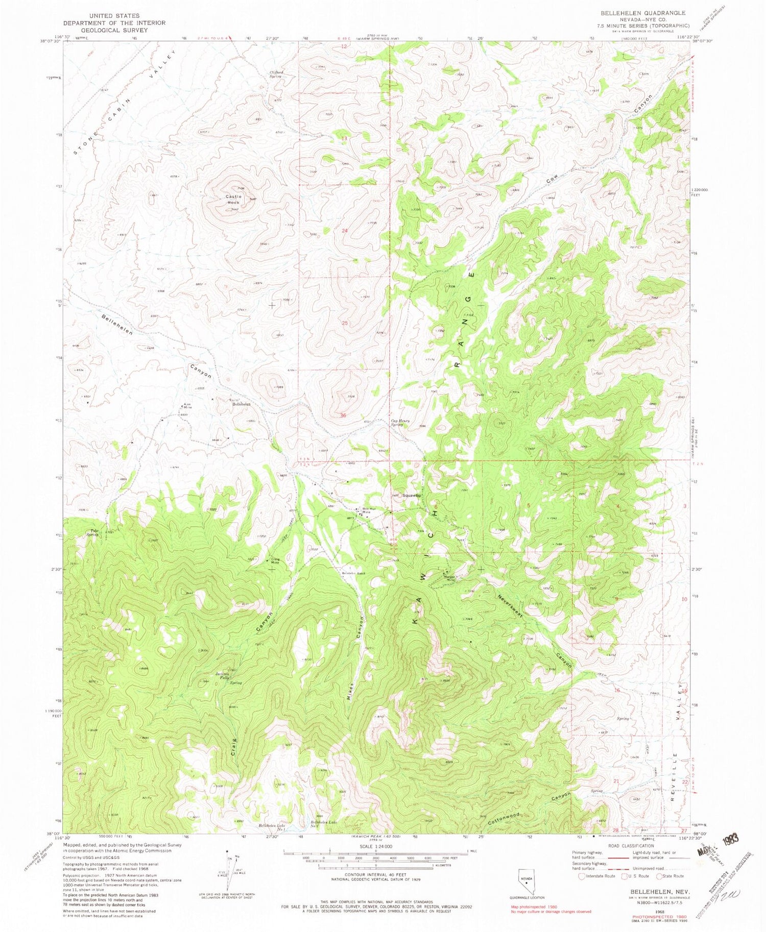
Historical USGS topographic quad map of Bellehelen in the state of Nevada. Map scale may vary for some years, but is generally around 1:24,000. Print size is approximately 24" x 27"
This quadrangle is in the following counties: Nye.
The map contains contour lines, roads, rivers, towns, and lakes. Printed on high-quality waterproof paper with UV fade-resistant inks, and shipped rolled.
Contains the following named places: Ajax Mine, Bellehelen, Bellehelen Lake Number One, Bellehelen Lake Number Two, Bellehelen Mining District, Bellehelen Post Office, Bellehelen Ranch, Ben Hur Mine, Ben Hur Ranch, Cap Henry Spring, Castle Rock, Cedar Mine, Clifford Spring, Cottonwood Canyon, Craig Canyon, Craig Mine, Jackson Falls, Jackson Falls Spring, Lower Belie Helen Gulch Well Number One, Lower Belie Helen Gulch Well Number Two, Merger Mine, Mikes Canyon, Neversweat Canyon, Nye County, Peterson Mine, Radium Spring, South Star Mine, Squawtip, Tobe Spring


