MyTopo
Classic USGS Bellemont Arizona 7.5'x7.5' Topo Map
Couldn't load pickup availability
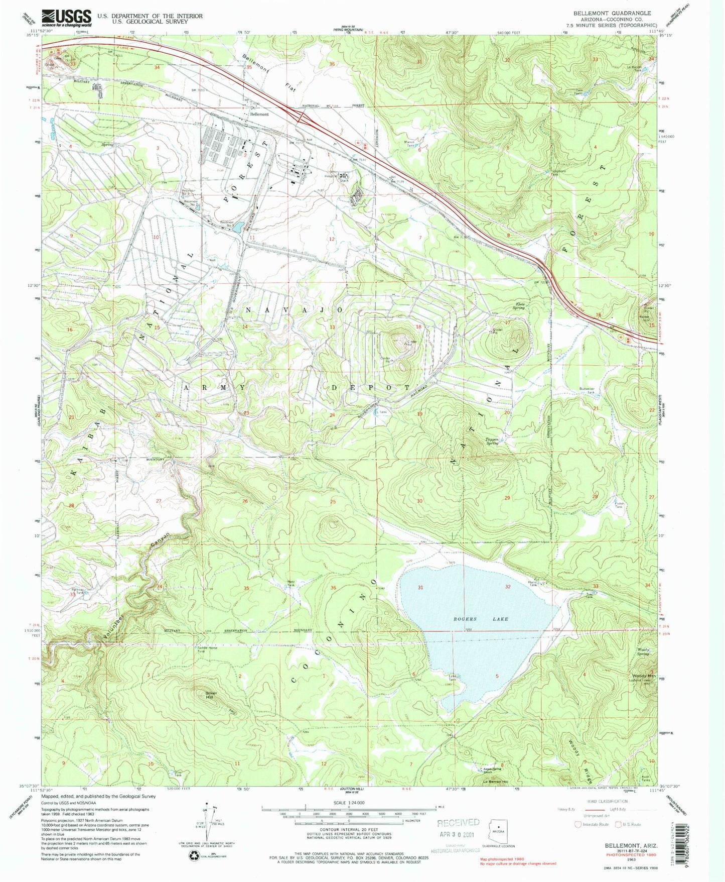
Historical USGS topographic quad map of Bellemont in the state of Arizona. Typical map scale is 1:24,000, but may vary for certain years, if available. Print size: 24" x 27"
This quadrangle is in the following counties: Coconino.
The map contains contour lines, roads, rivers, towns, and lakes. Printed on high-quality waterproof paper with UV fade-resistant inks, and shipped rolled.
Contains the following named places: Auza Tanks, Bellemont, Bellemont Flat, Budweiser Tank, Elsie Spring, Fisher Tank, Home Tank, Lake Tank, Lake Tank, Le Barron Hill, Le Barron Tank, Marvin Tank, Metz Tank, Railroad Tank, Reservoir Number One, Reservoir Number Two, Reservoir Number Three, Rogers Lake, Saddle Horse Tank, Sliker Hill, Tappen Spring, Tree Tank, Twin Tanks, Woody Mountain, Woody Spring, A-One Tank, Aspen Spring Ranch, Aspen Spring Tank, Bear Tank, Bellemont Siding, Fishers Spring, Junction Tank, L Tank, Metz Tank, Metz Tank, Paterson Spring, Ray Tank, Sliker Tank, Thompson Tank, Turkey Number Three Tank, Telephone Tank, Horse Tank, Kelly Tank, Ebert Spring, Hidden Tank, Quarry Tank, Atherton Lake, Marvin Spring (historical), Marvin Tank, Camp Navajo, Ponderosa Fire District Station 82, Bellemont Census Designated Place


