
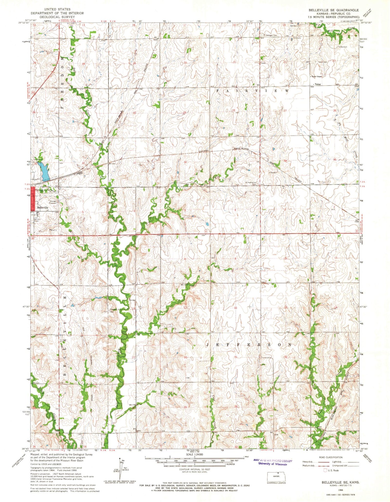
MyTopo
Classic USGS Belleville SE Kansas 7.5'x7.5' Topo Map
Regular price
$16.95
Regular price
Sale price
$16.95
Unit price
per
Couldn't load pickup availability
Historical USGS topographic quad map of Belleville SE in the state of Kansas. Map scale may vary for some years, but is generally around 1:24,000. Print size is approximately 24" x 27"
This quadrangle is in the following counties: Republic.
The map contains contour lines, roads, rivers, towns, and lakes. Printed on high-quality waterproof paper with UV fade-resistant inks, and shipped rolled.
Contains the following named places: Belleville Country Club, Belleville Wastewater Treatment Facility, KREP - FM (Belleville), Pachta Farm Airport, Pleasant Hill Cemetery, Saint Georges Cemetery, Saint Katherine Cemetery, Tabor, Tabor Cemetery, Tabor Chapel, Township of Fairview, Township of Jefferson


