MyTopo
Classic USGS Belltower Montana 7.5'x7.5' Topo Map
Couldn't load pickup availability
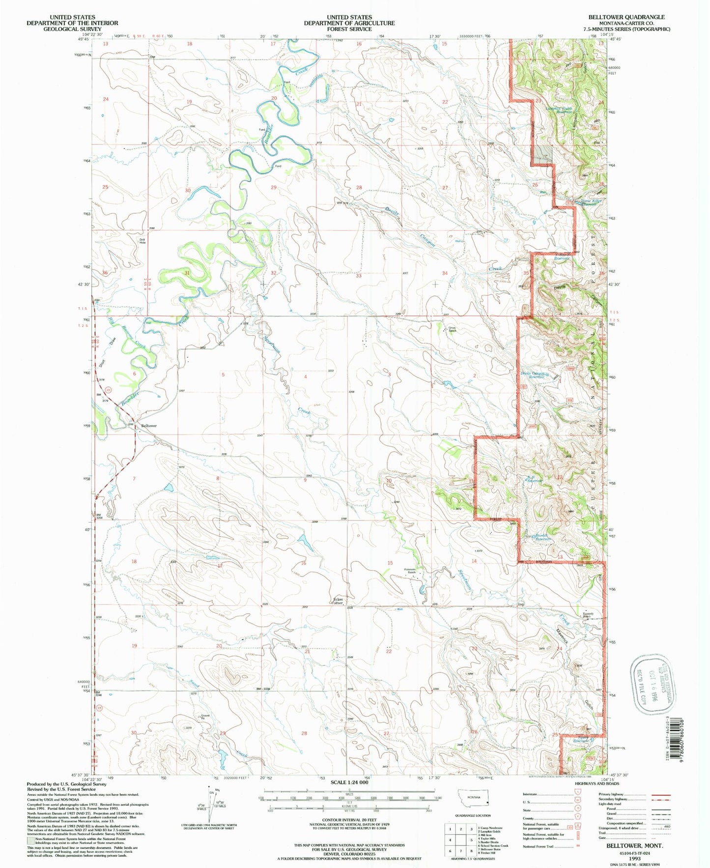
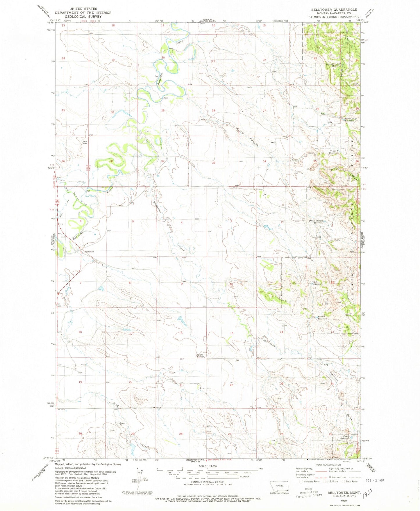
Historical USGS topographic quad map of Belltower in the state of Montana. Map scale may vary for some years, but is generally around 1:24,000. Print size is approximately 24" x 27"
This quadrangle is in the following counties: Carter.
The map contains contour lines, roads, rivers, towns, and lakes. Printed on high-quality waterproof paper with UV fade-resistant inks, and shipped rolled.
Contains the following named places: 02S60E11CBAD01 Well, 02S60E28A___01 Well, Bell Tower Hall, Belltower School, Belltower Seventh Day Adventist Church, Big Ramme Creek, Burditt Reservoir, Devils Canyon, Devils Canyon Creek, Devils Canyon Reservoir, E-B Reservoir, Ekalaka Mini-Mutes Radar Site, Elgin School, Horse Killer Reservoir, Lampkin Gulch Reservoir, Maverick Gulch, Maverick Reservoir, Short Draw, Speelmon Creek, Sykes Corner, Sykes Post Office, V-Bar-S Reservoir