MyTopo
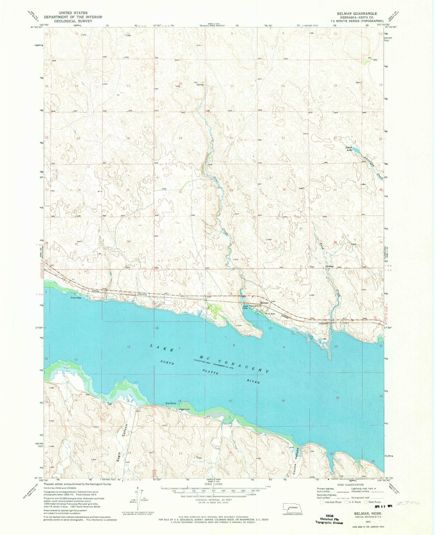
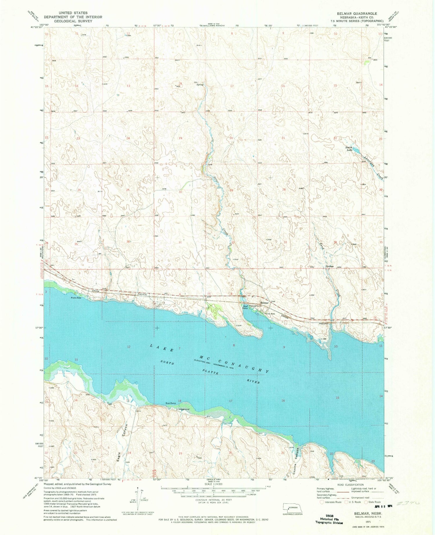
Classic USGS Belmar Nebraska 7.5'x7.5' Topo Map
Regular price
$16.95
Regular price
Sale price
$16.95
Unit price
per
Couldn't load pickup availability
Historical USGS topographic quad map of Belmar in the state of Nebraska. Map scale may vary for some years, but is generally around 1:24,000. Print size is approximately 24" x 27"
This quadrangle is in the following counties: Keith.
The map contains contour lines, roads, rivers, towns, and lakes. Printed on high-quality waterproof paper with UV fade-resistant inks, and shipped rolled.
Contains the following named places: Belmar, Belmar Census Designated Place, Belmar Post Office, Cedar Vue Campground, Coyote Canyon, Eagle Canyon, Eagle Gulch Campground, JS Otter Creek Resort and RV Park, Lonergan Election Precinct, Omaha Beach Campground, Otter Creek, Otter Creek Campground, Sand Creek, Smith Lake