MyTopo
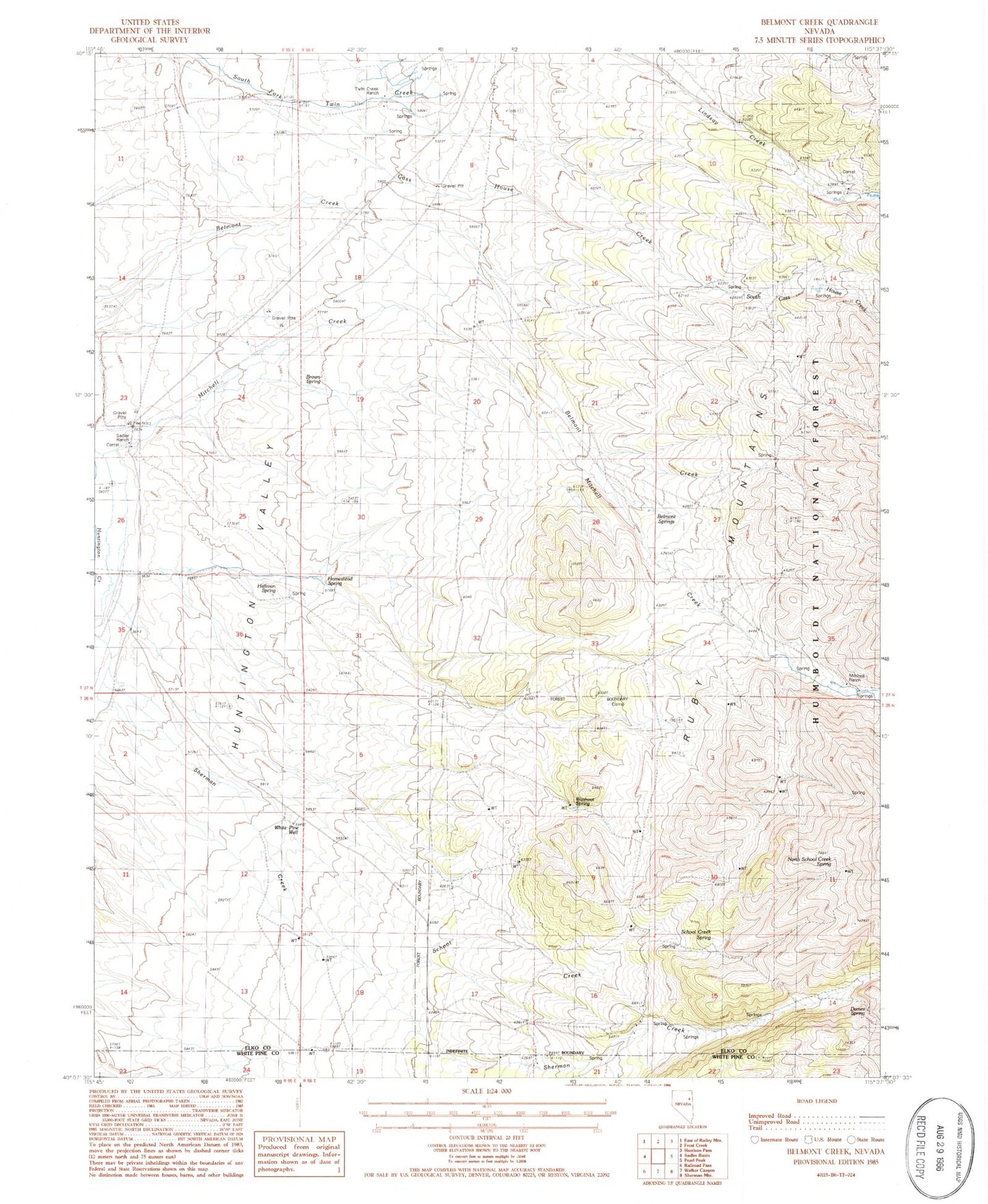
Classic USGS Belmont Creek Nevada 7.5'x7.5' Topo Map
Couldn't load pickup availability
Historical USGS topographic quad map of Belmont Creek in the state of Nevada. Map scale may vary for some years, but is generally around 1:24,000. Print size is approximately 24" x 27"
This quadrangle is in the following counties: Elko, White Pine.
The map contains contour lines, roads, rivers, towns, and lakes. Printed on high-quality waterproof paper with UV fade-resistant inks, and shipped rolled.
Contains the following named places: Antelope Station, Belmont Creek, Belmont Springs, Brown Spring, Cass House, Cass House Creek, Cherry Spring, Dames Spring, Goyeneche Ranch, Hellman Spring, Homestead Spring, Jaimerena Ranch, Mitchell Ranch, North Fork Lindsay Creek, North Peters Ranch, North School Creek Spring, Peters Ranch, Sadler Ranch, School Creek, School Creek Spring, Sherman, Sherman Creek, Sherman Post Office, South Cass House Creek, Twin Creek Ranch, Washout Spring, White Pine Well, Wright Ranch