MyTopo
Classic USGS Belmont Mountain Arizona 7.5'x7.5' Topo Map
Regular price
$16.95
Regular price
Sale price
$16.95
Unit price
per
Couldn't load pickup availability
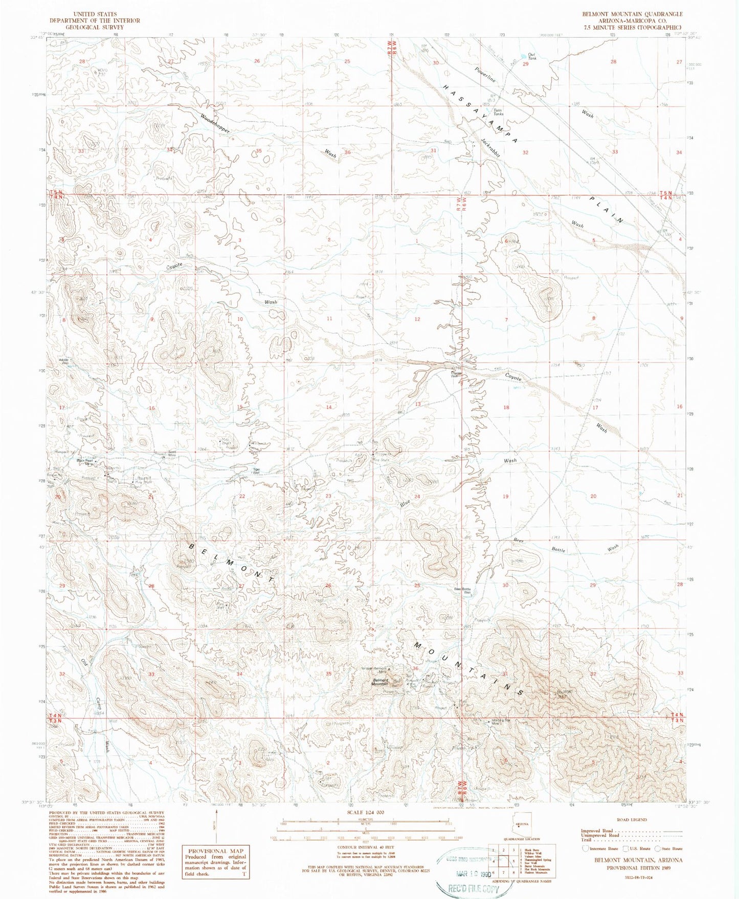
Historical USGS topographic quad map of Belmont Mountain in the state of Arizona. Map scale may vary for some years, but is generally around 1:24,000. Print size is approximately 24" x 27"
This quadrangle is in the following counties: Maricopa.
The map contains contour lines, roads, rivers, towns, and lakes. Printed on high-quality waterproof paper with UV fade-resistant inks, and shipped rolled.
Contains the following named places: Adobe Well, Beer Bottle Well, Belmont Mountain, Belmont Mountains, Black Pearl Mine, Coyote Well, General Grant Mine, Hovis Ranch, Morning Star Mine, Owl Tank, Scott Mine, Tiger Well, Tonopah-Belmont Mine, Twin Tanks, Woodchopper Wash