MyTopo
Classic USGS Belmont Park Ranch Montana 7.5'x7.5' Topo Map
Regular price
$16.95
Regular price
Sale price
$16.95
Unit price
per
Couldn't load pickup availability
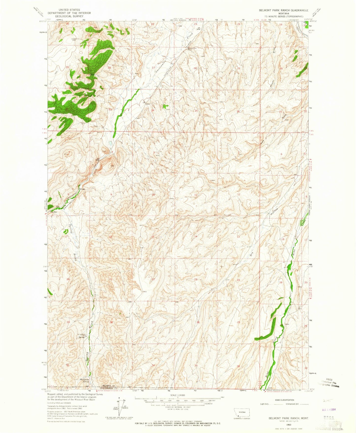
Historical USGS topographic quad map of Belmont Park Ranch in the state of Montana. Map scale may vary for some years, but is generally around 1:24,000. Print size is approximately 24" x 27"
This quadrangle is in the following counties: Beaverhead, Madison.
The map contains contour lines, roads, rivers, towns, and lakes. Printed on high-quality waterproof paper with UV fade-resistant inks, and shipped rolled.
Contains the following named places: 08S05W26BADA01 Spring, 09S05W12CCDD01 Well, 09S05W32DDAA01 Spring, Belmont Park Ranch, Fries Place, Honeymoon Springs, Leyendecker Powers Ditch, Spring Brook, Spring Brook Camp, Sweet Water School, Sweetwater