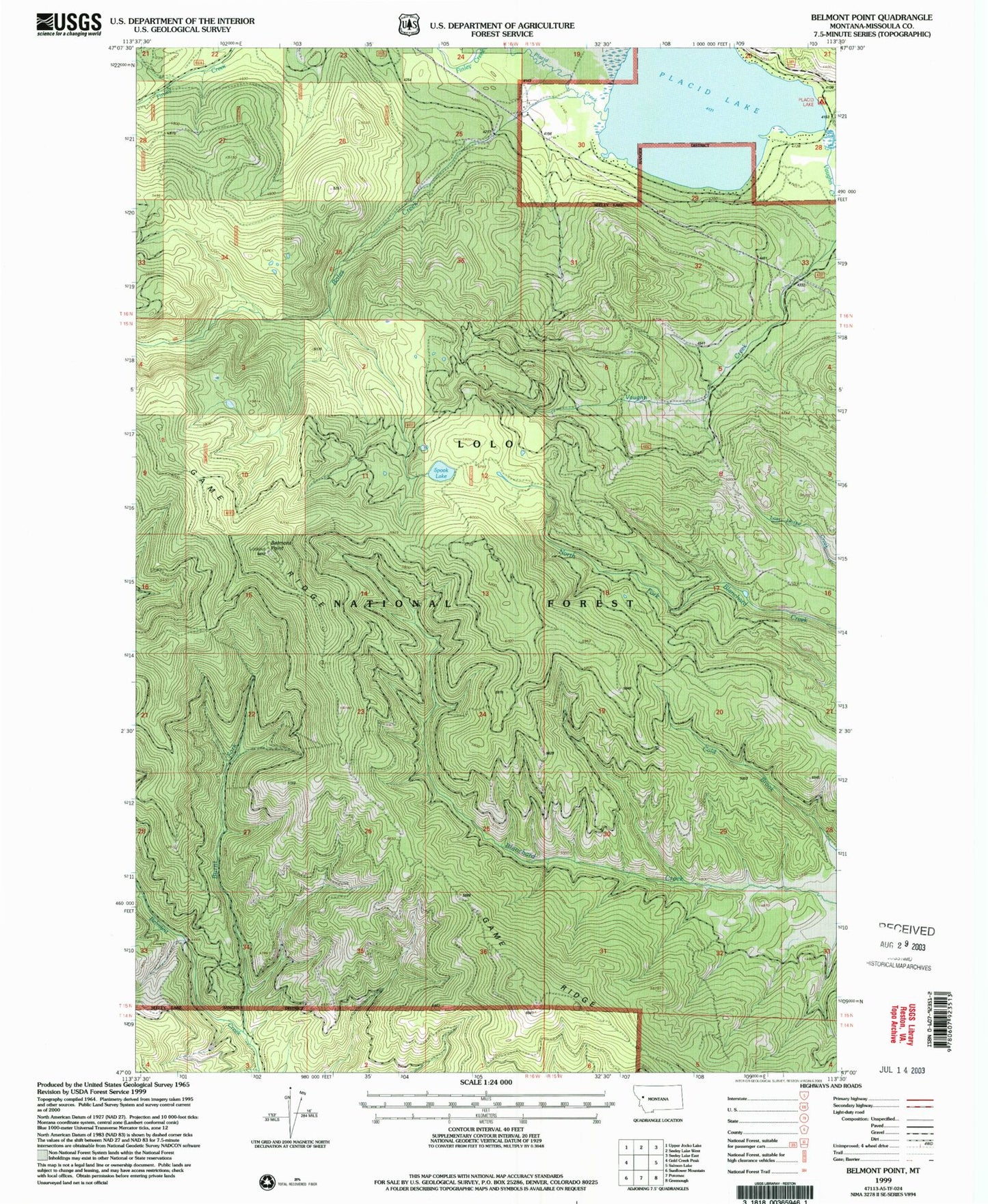
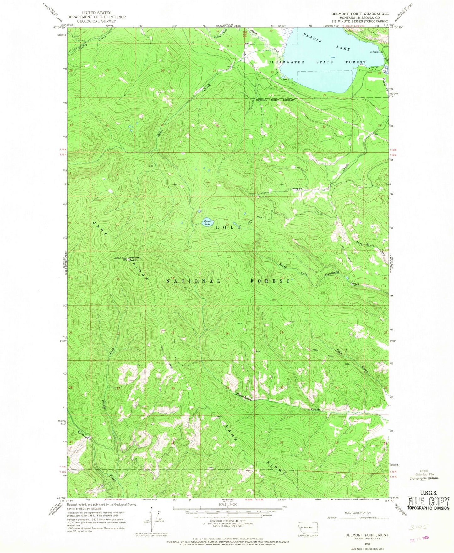
MyTopo
Classic USGS Belmont Point Montana 7.5'x7.5' Topo Map
Regular price
$16.95
Regular price
Sale price
$16.95
Unit price
per
Couldn't load pickup availability
Historical USGS topographic quad map of Belmont Point in the state of Montana. Map scale may vary for some years, but is generally around 1:24,000. Print size is approximately 24" x 27"
This quadrangle is in the following counties: Missoula.
The map contains contour lines, roads, rivers, towns, and lakes. Printed on high-quality waterproof paper with UV fade-resistant inks, and shipped rolled.
Contains the following named places: 16N15W28BCDB01 Well, 16N15W30DACB01 Well, 16N15W30DBDA01 Well, Belmont Point, Boles Creek, Burnt Creek, Game Ridge, Placid Creek, Placid Lake, Placid Lake Recreation Site, Spook Lake, Vaughn Creek