MyTopo
Classic USGS Belmont West Nevada 7.5'x7.5' Topo Map
Couldn't load pickup availability
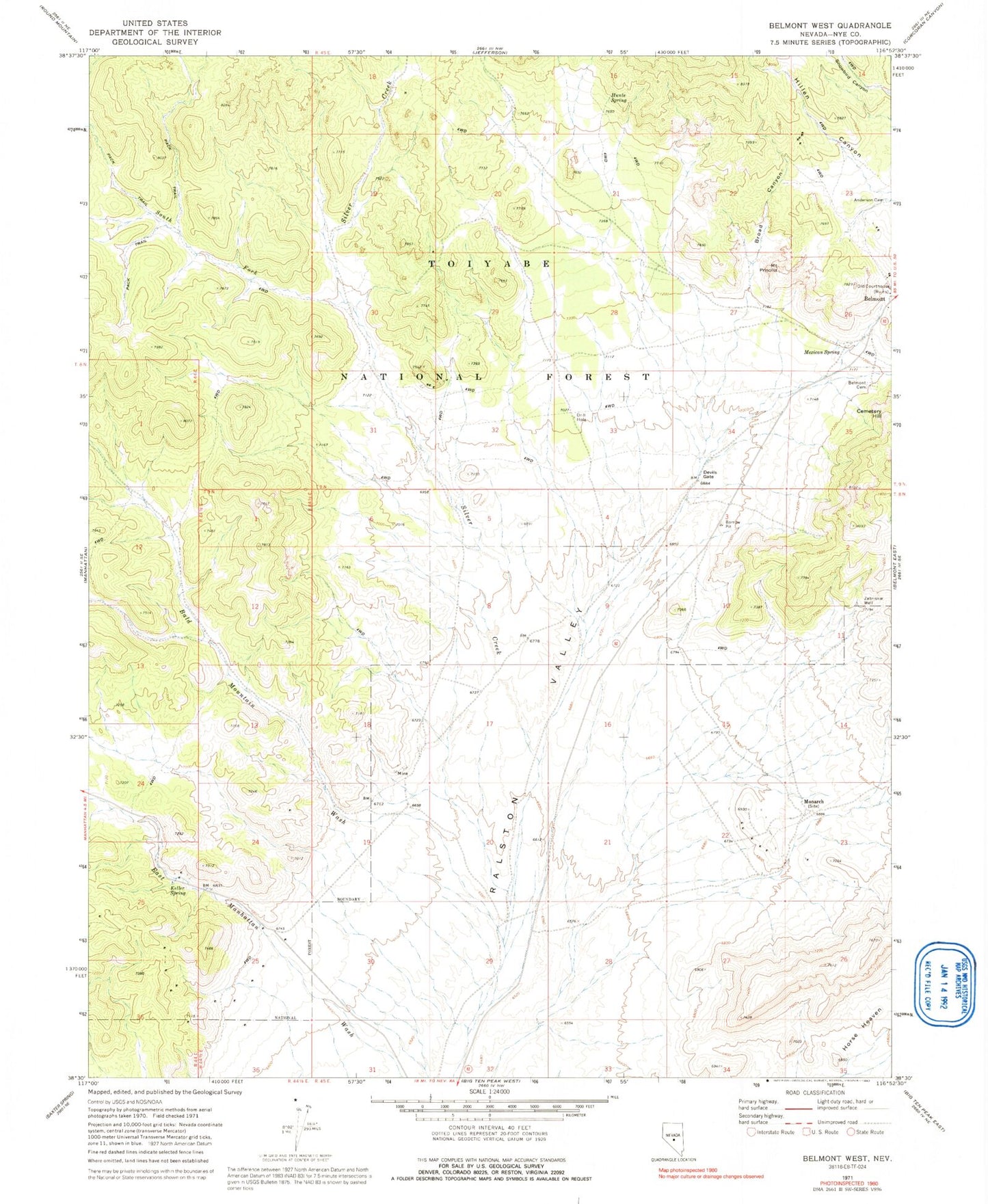
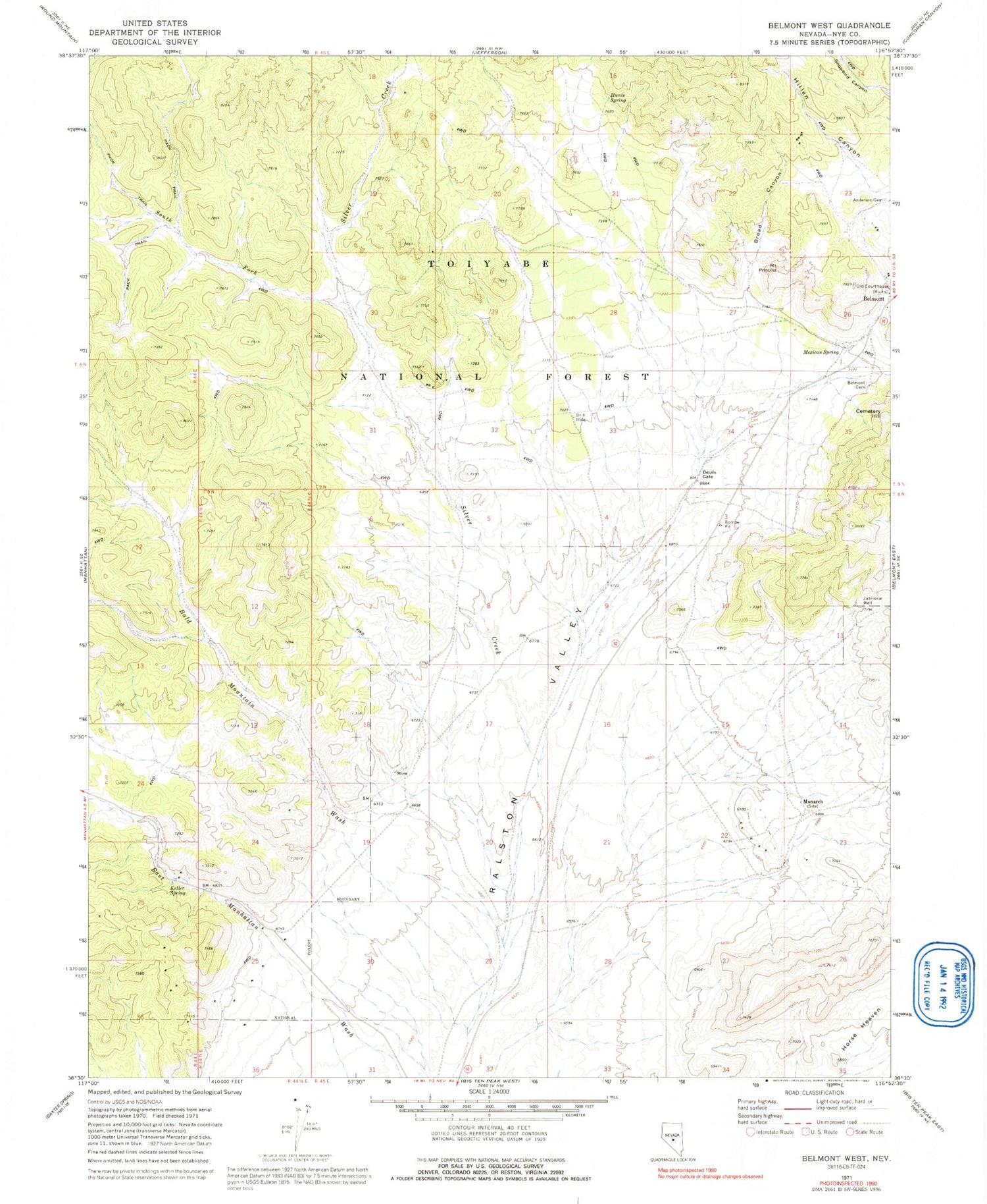
Historical USGS topographic quad map of Belmont West in the state of Nevada. Map scale may vary for some years, but is generally around 1:24,000. Print size is approximately 24" x 27"
This quadrangle is in the following counties: Nye.
The map contains contour lines, roads, rivers, towns, and lakes. Printed on high-quality waterproof paper with UV fade-resistant inks, and shipped rolled.
Contains the following named places: Anderson Shoshone Indian Cemetery, Bald Mountain Wash, Belmont Cemetery, Belmont Courthouse State Historic Site, Broad Canyon, Devils Gate, Hillen Canyon, Hunter Spring, Hunts Spring, Keller Spring, Mexican Spring, Monarch, Monarch Post Office, Monitor Mill, Mountain Priscilla, Old Courthouse, Silver Creek, Snowbird Canyon, South Fork Silver Creek, Zabriskie Well