MyTopo
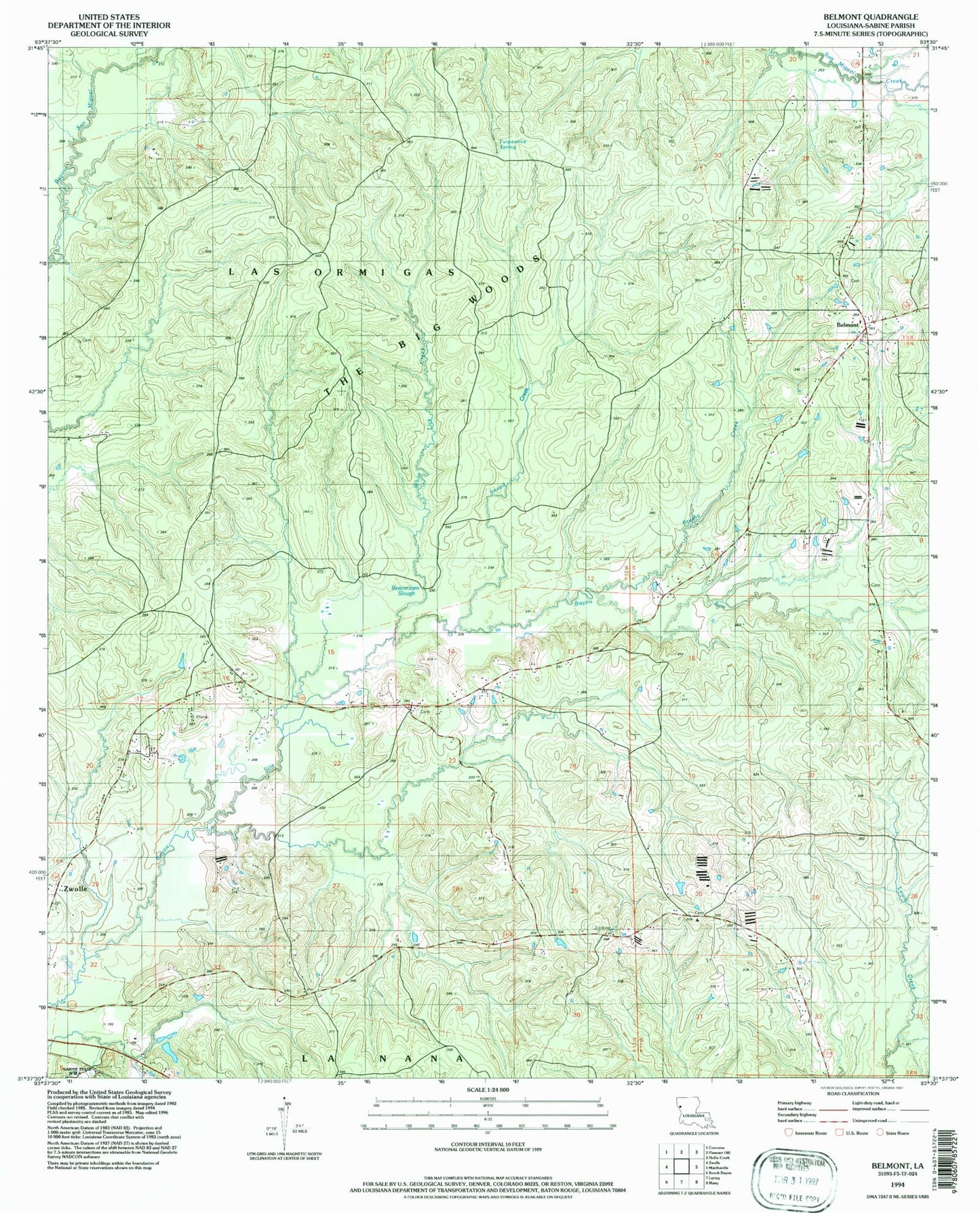
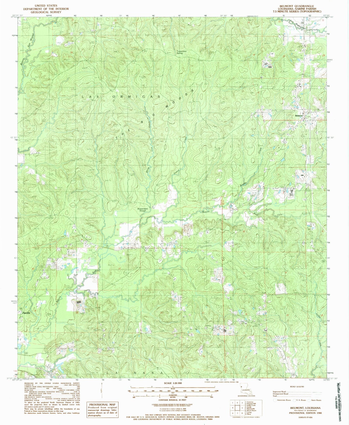
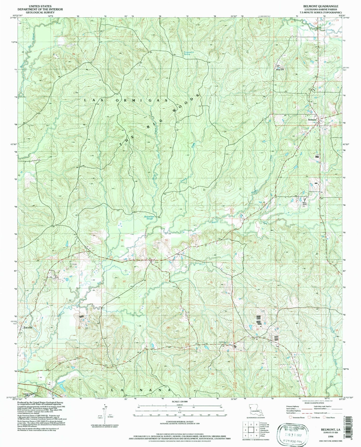
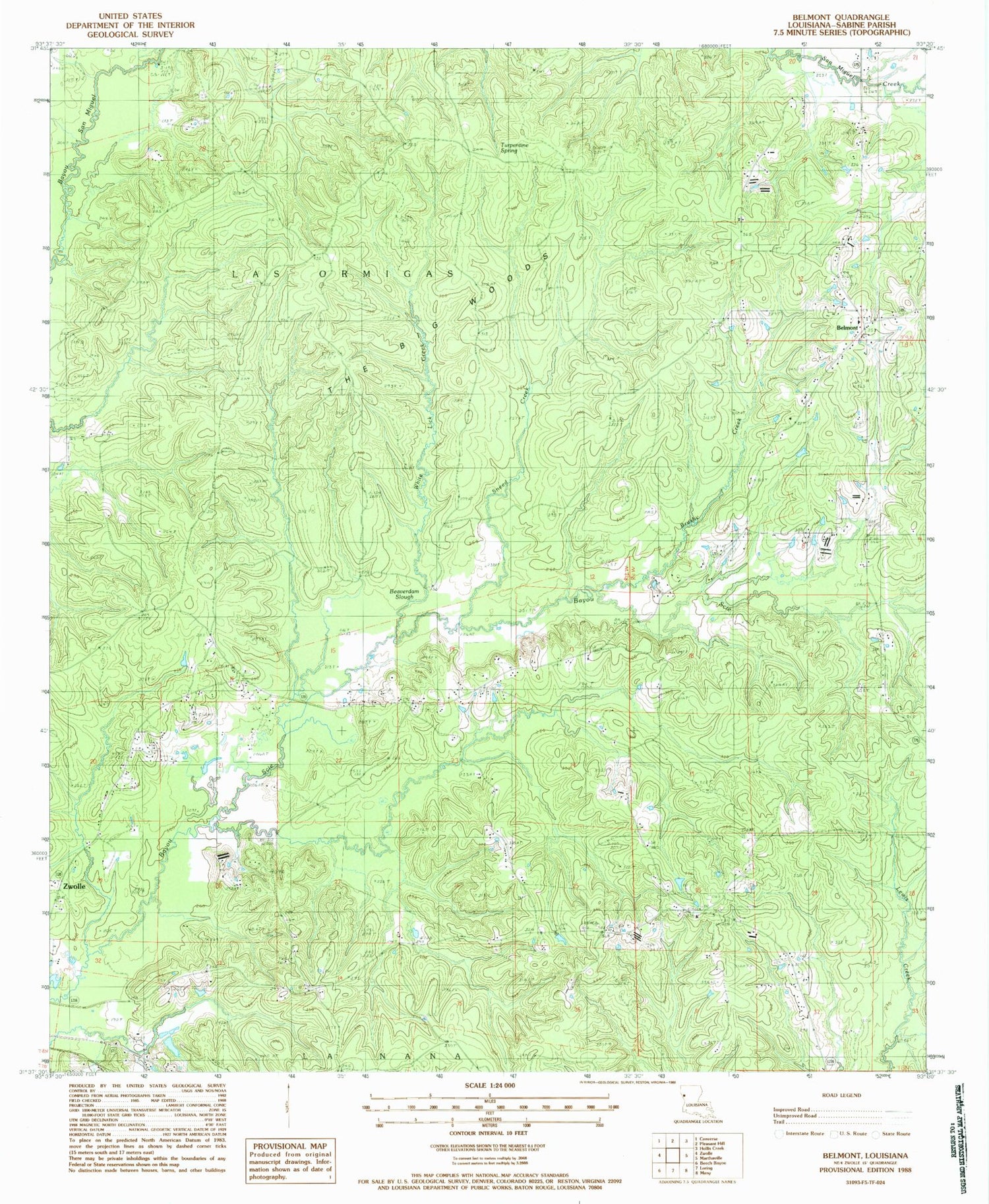
Classic USGS Belmont Louisiana 7.5'x7.5' Topo Map
Couldn't load pickup availability
Historical USGS topographic quad map of Belmont in the state of Louisiana. Map scale may vary for some years, but is generally around 1:24,000. Print size is approximately 24" x 27"
This quadrangle is in the following counties: Sabine.
The map contains contour lines, roads, rivers, towns, and lakes. Printed on high-quality waterproof paper with UV fade-resistant inks, and shipped rolled.
Contains the following named places: Bayou Scie, Bayou Scie Methodist Church, Bayou Scie School, Beaverdam Slough, Belmont, Belmont Baptist Church, Belmont Census Designated Place, Belmont Post Office, Belmont Union Christian Academy School, Bethesda Church, Brushy Creek, Carson Church, East Sardis Oil and Gas Field, Hamlin, Hamlin School, Linn Cemetery, Little Bayou Scie, Little San Miguel Creek, North Fork San Miguel Creek, North Sabine Fire Protection District Bayou Scie Station, North Sabine Fire Protection District Belmont Station, Parish Governing Authority District 8, Smithfield Church, Snake Creek, Sneed Creek, The Big Woods, Thorner Lick Creek, Turpentine Spring, Ward Nine, White Lick Creek, Wofed Cemetery, ZIP Codes: 71406, 71486