MyTopo
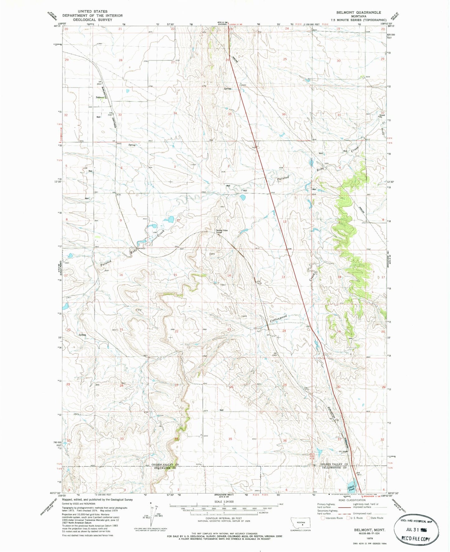
Classic USGS Belmont Montana 7.5'x7.5' Topo Map
Couldn't load pickup availability
Historical USGS topographic quad map of Belmont in the state of Montana. Map scale may vary for some years, but is generally around 1:24,000. Print size is approximately 24" x 27"
This quadrangle is in the following counties: Golden Valley, Stillwater, Yellowstone.
The map contains contour lines, roads, rivers, towns, and lakes. Printed on high-quality waterproof paper with UV fade-resistant inks, and shipped rolled.
Contains the following named places: 04N22E03BADD01 Well, 05N22E15BAC_01 Well, 05N22E34BCBD01 Well, 05N23E06BBDD01 Well, 06N22E02D___01 Well, Alkali Pond, Belmont, Belmont Cemetery, Belmont Lutheran Church, Belmont Post Office, Belmont School, Conover Number 1 Dam, Cottonwood Creek, Heikens Number 1 Dam, Heikens Number 2 Dam, Painted Robe, Painted Robe Tunnel