MyTopo
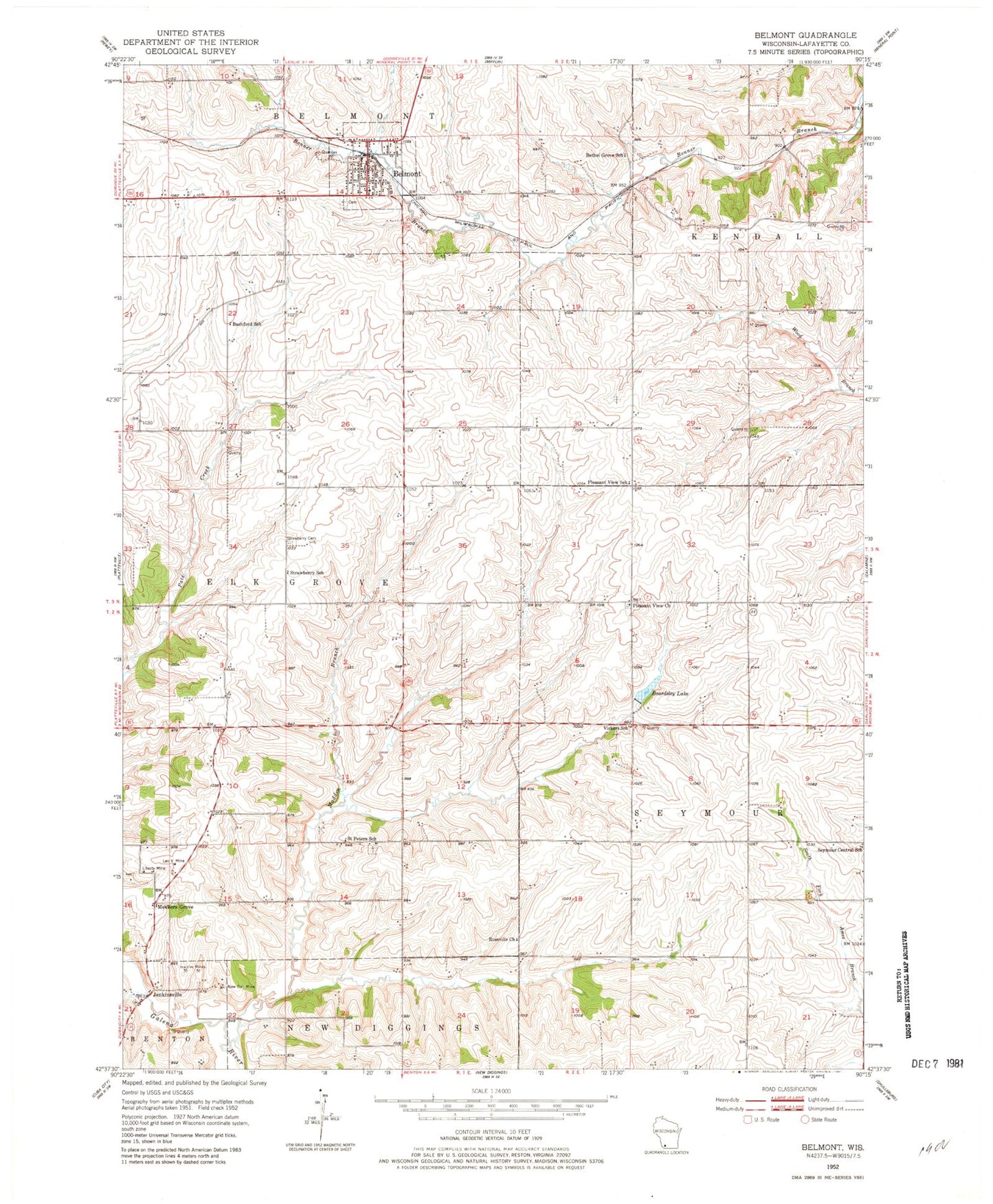
Classic USGS Belmont Wisconsin 7.5'x7.5' Topo Map
Couldn't load pickup availability
Historical USGS topographic quad map of Belmont in the state of Wisconsin. Map scale may vary for some years, but is generally around 1:24,000. Print size is approximately 24" x 27"
This quadrangle is in the following counties: Lafayette.
The map contains contour lines, roads, rivers, towns, and lakes. Printed on high-quality waterproof paper with UV fade-resistant inks, and shipped rolled.
Contains the following named places: Bachford School, Beardsley Lake, Belmont, Belmont - Whig United Methodist Church, Belmont Elementary School, Belmont Fire Department, Belmont Middle and High School, Belmont Police Department, Belmont Post Office, Belmont Prairie State Natural Area, Belmont Quarry, Belmont Wastewater Treatment Facility, Bethel Grove School, Darlington Ridge Farms, Huggins Quarry, Jenkinsville, Leo V Mine, Liberty Mine, Madden Branch, Meekers Grove, New Dall Mine, Peace Lutheran Church, Pleasant View Cemetery, Pleasant View Church, Pleasant View School, Roseville Church, Saint Peters Cemetery, Saint Peters School, Seymour Central School, Strawberry Cemetery, Strawberry School, Town of Elk Grove, Vickers School, Village of Belmont, Wolters Farm, ZIP Code: 53510