MyTopo
Classic USGS Belmore Sloughs Montana 7.5'x7.5' Topo Map
Regular price
$16.95
Regular price
Sale price
$16.95
Unit price
per
Couldn't load pickup availability
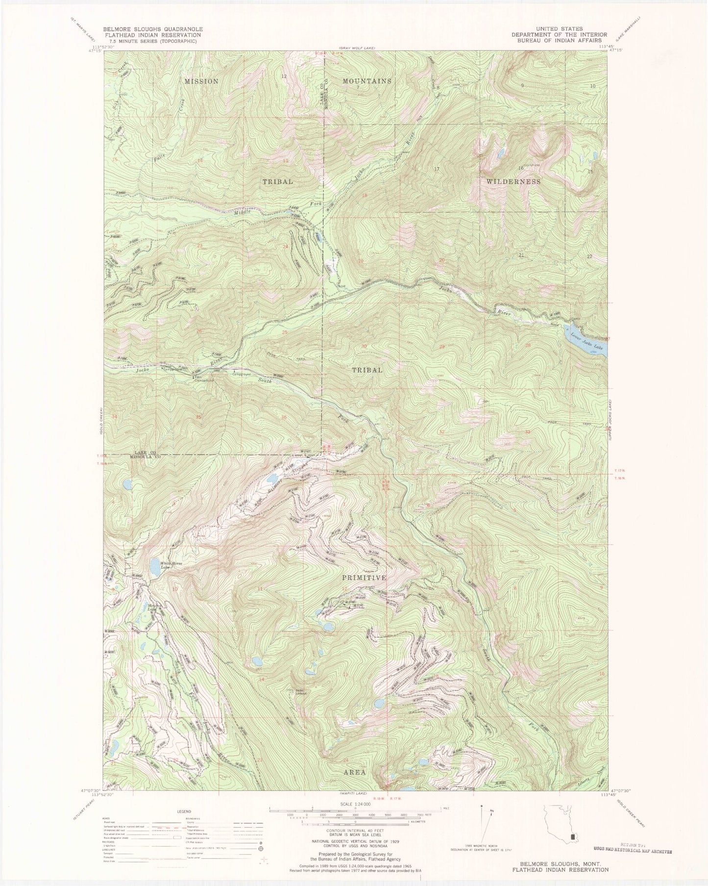
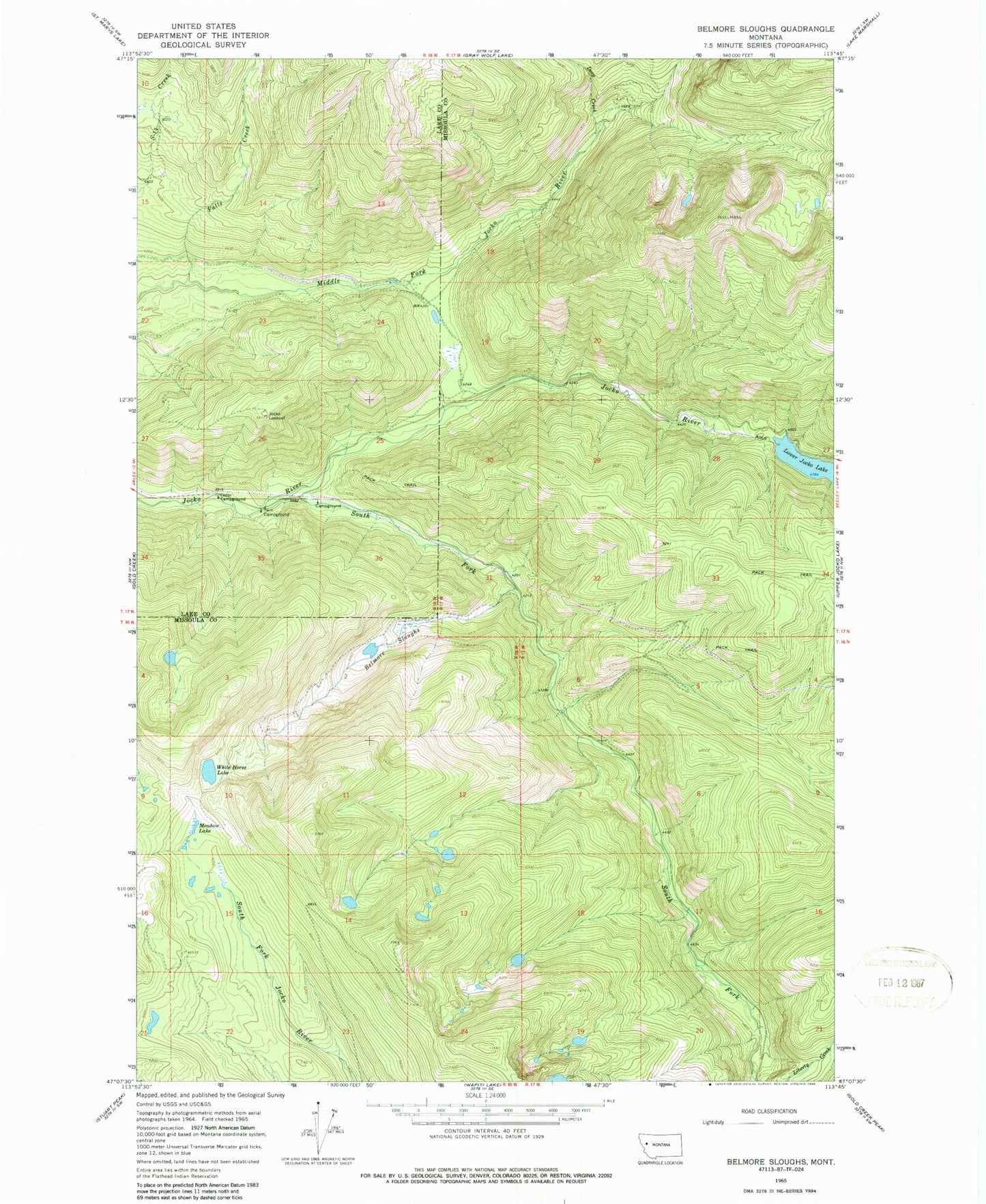
Historical USGS topographic quad map of Belmore Sloughs in the state of Montana. Map scale may vary for some years, but is generally around 1:24,000. Print size is approximately 24" x 27"
This quadrangle is in the following counties: Lake, Missoula.
The map contains contour lines, roads, rivers, towns, and lakes. Printed on high-quality waterproof paper with UV fade-resistant inks, and shipped rolled.
Contains the following named places: Belmore Sloughs, Cedar Campground, Deep Creek, Falls Creek, Jocko Dam, Jocko Lookout, Lower Jocko Lake, Meadow Lake, Middle Fork Jocko River, South Fork Jocko River, Twin Campground, White Horse Lake