MyTopo
Classic USGS Belshazzar Mountain Washington 7.5'x7.5' Topo Map
Couldn't load pickup availability
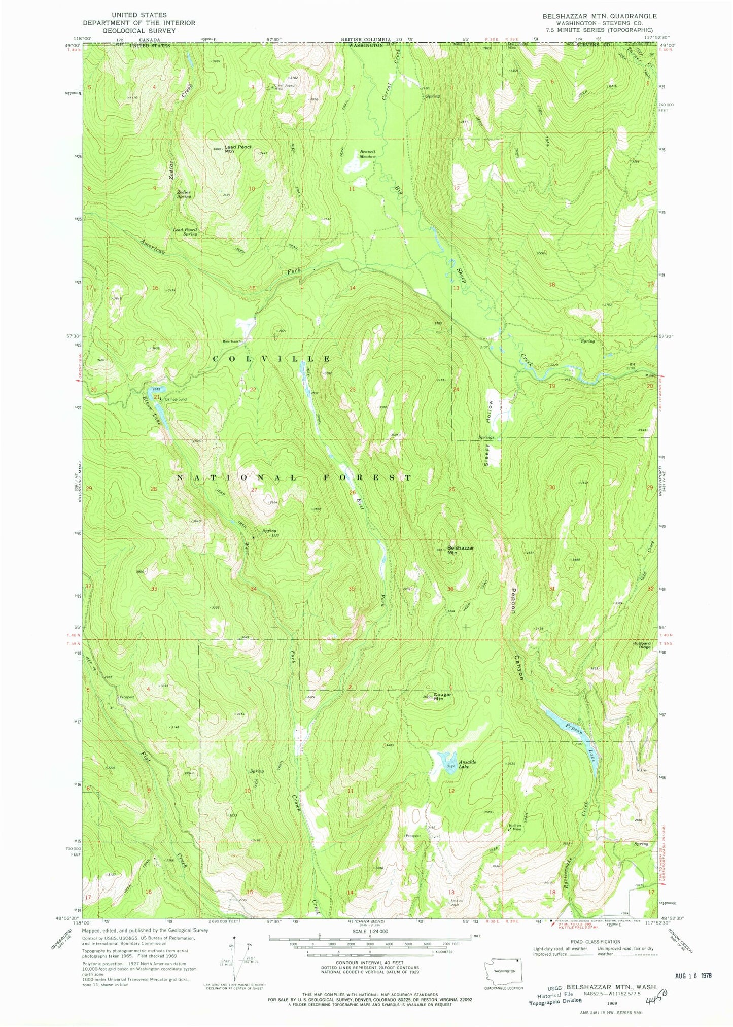
Historical USGS topographic quad map of Belshazzar Mountain in the state of Washington. Typical map scale is 1:24,000, but may vary for certain years, if available. Print size: 24" x 27"
This quadrangle is in the following counties: Stevens.
The map contains contour lines, roads, rivers, towns, and lakes. Printed on high-quality waterproof paper with UV fade-resistant inks, and shipped rolled.
Contains the following named places: American Fork Big Sheep Creek, Ansaldo Lake, Belshazzar Mountain, Bennett Meadow, Bullion Mine, Chief Joseph Mine, Corral Creek, Cougar Mountain, East Fork Crown Creek, Elbow Lake, Lead Pencil Mountain, Lead Pencil Spring, Pepoon Canyon, Pepoon Lake, Rose Ranch, Sleepy Hollow, West Fork Crown Creek, Zodiac Creek, Zodiac Spring