MyTopo
Classic USGS Belt NE Montana 7.5'x7.5' Topo Map
Regular price
$16.95
Regular price
Sale price
$16.95
Unit price
per
Couldn't load pickup availability
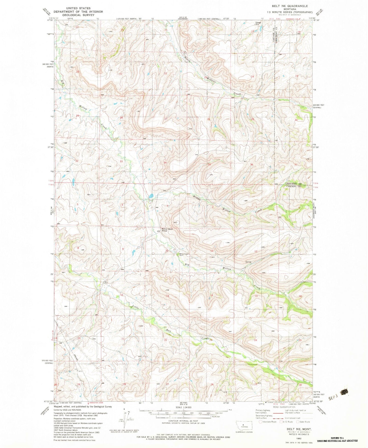
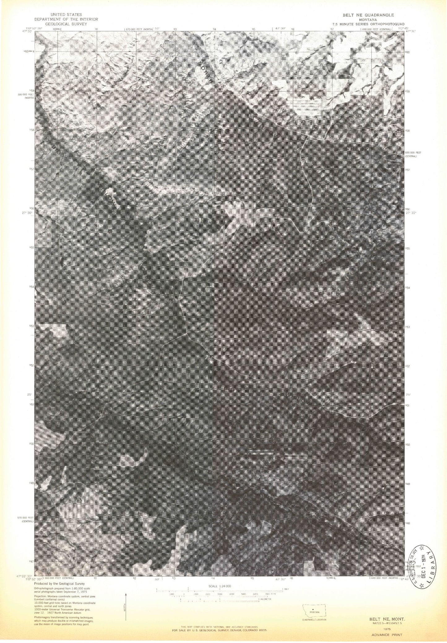
Historical USGS topographic quad map of Belt NE in the state of Montana. Map scale may vary for some years, but is generally around 1:24,000. Print size is approximately 24" x 27"
This quadrangle is in the following counties: Cascade, Chouteau.
The map contains contour lines, roads, rivers, towns, and lakes. Printed on high-quality waterproof paper with UV fade-resistant inks, and shipped rolled.
Contains the following named places: 19N07E02DD__01 Well, 20N07E33____01 Well, Gillette School, Little Belt School, Middle Willow Creek, Roosevelt School, Willow Belt Dam, Willow Bend School, Willow Creek Ranch