MyTopo
Classic USGS Belt Park Butte Montana 7.5'x7.5' Topo Map
Couldn't load pickup availability
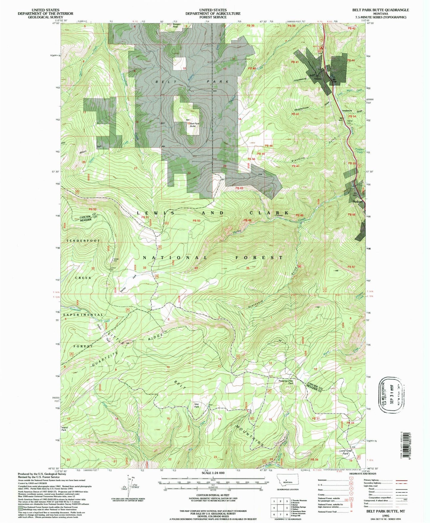
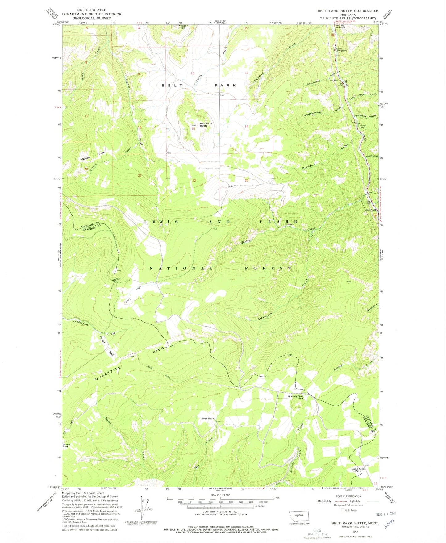
Historical USGS topographic quad map of Belt Park Butte in the state of Montana. Map scale is 1:24000. Print size is approximately 24" x 27"
This quadrangle is in the following counties: Cascade, Meagher.
The map contains contour lines, roads, rivers, towns, and lakes. Printed on high-quality waterproof paper with UV fade-resistant inks, and shipped rolled.
Contains the following named places: 89 Millsite, Aspen Campground, Belt Park Butte, Blanding Gulch, Carpenter Creek, Galt Mine, Graveyard Gulch, Graveyard Gulch Cemetery, Harley Creek, Harley Park, Headstone Gulch, Horn Creek, Important Mill Mine, Jericho (historical), Johannesburg (historical), Johannesburg Gulch, Keegan Peak, Little Water Creek, Lone Tree Park, Miners Union Cemetery, Neihart Cemetery, NW SW Section 7 Mine, O'Brian Mine, Onion Park, Pine Grove School (historical), Prospect Creek, Quartzite Ridge, Rock Pit, Rocking Chair Creek, Rocking Chair Park, Silver Dyke School (historical), Slaughterhouse Gulch, SW NW Section 25 Mine, Wet Park, Wilson Creek, Wilson Park