MyTopo
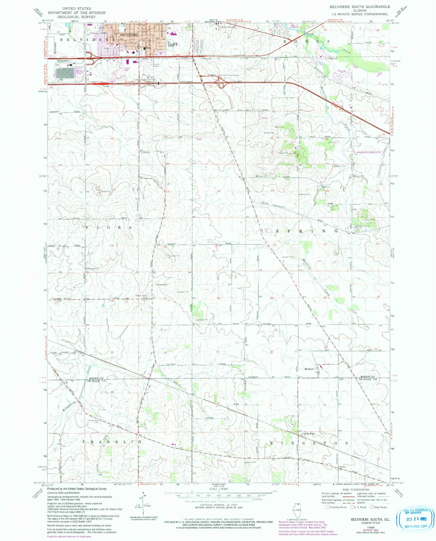
Classic USGS Belvidere South Illinois 7.5'x7.5' Topo Map
Couldn't load pickup availability
Historical USGS topographic quad map of Belvidere South in the state of Illinois. Map scale may vary for some years, but is generally around 1:24,000. Print size is approximately 24" x 27"
This quadrangle is in the following counties: Boone, DeKalb.
The map contains contour lines, roads, rivers, towns, and lakes. Printed on high-quality waterproof paper with UV fade-resistant inks, and shipped rolled.
Contains the following named places: Arbuckle School, Belvidere Assembly Plant Heliport, Belvidere Fire Department Station 2, Belvidere High School, Belvidere Tollway Oasis, Bloods Point Cemetery, Bloods Point School, Canada School, Charter Oak Cemetery, Charter Oak School, Church of the Nazarene, Cohoon School, Colvin Park, Davis School, Gould School, Graves School, Gray Farms, Henderson Airport, Herbert, Highland Hospital, Mosquito Creek, North Kingston School, Nystrom's Nursery, Prairie Oaks Forest Preserve, Reeds Crossing, Sager School, Schandelmeir School, Scrivens School, Shannon School, Shattucks Grove Cemetery, Stone School, Swedish American Medical Center Belvidere, Township of Spring, Untied Acres Airport, Witbeck School, Zion Evangelical Lutheran Church, ZIP Code: 61008


