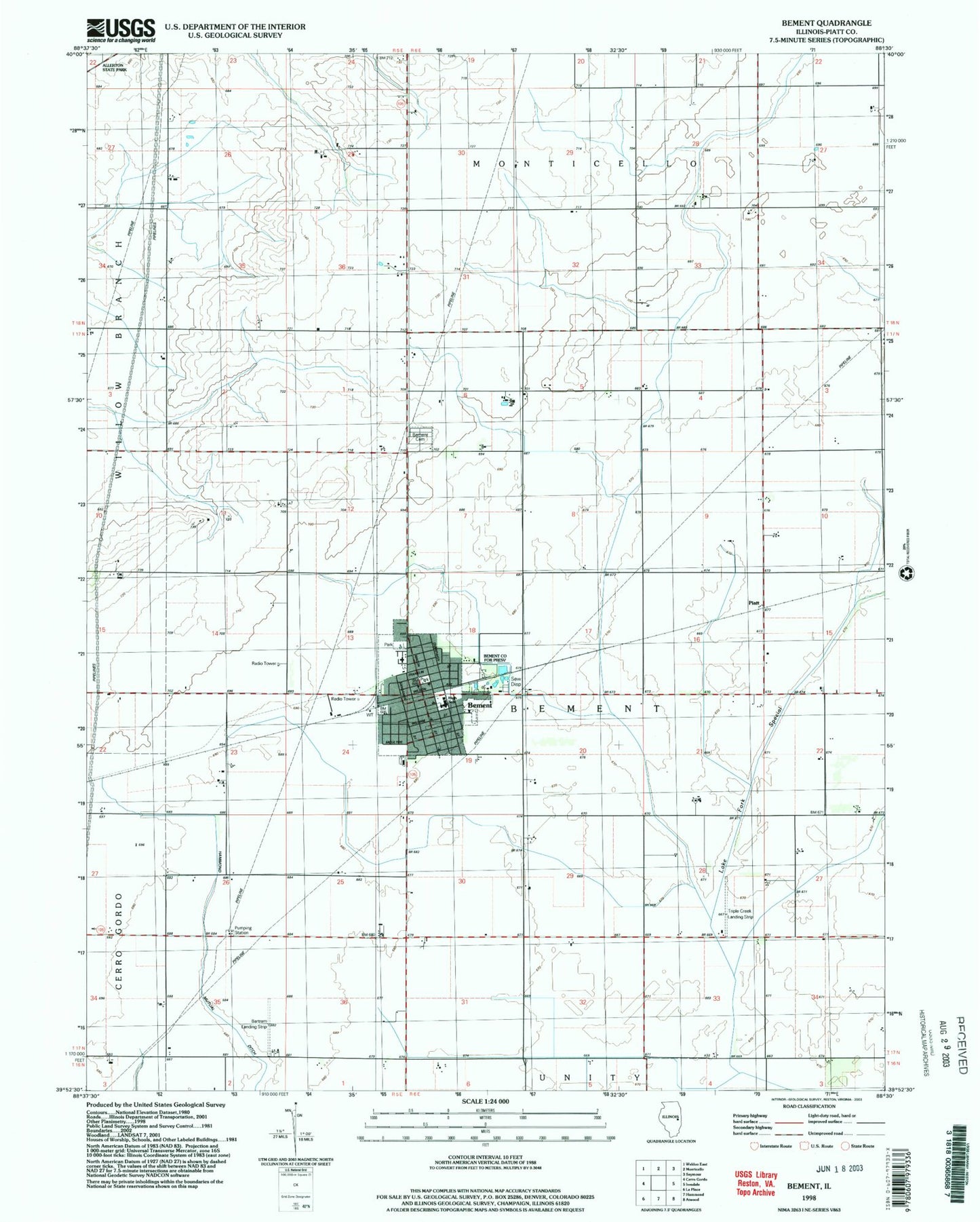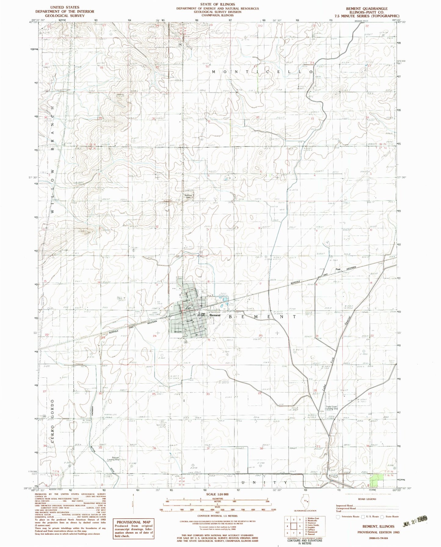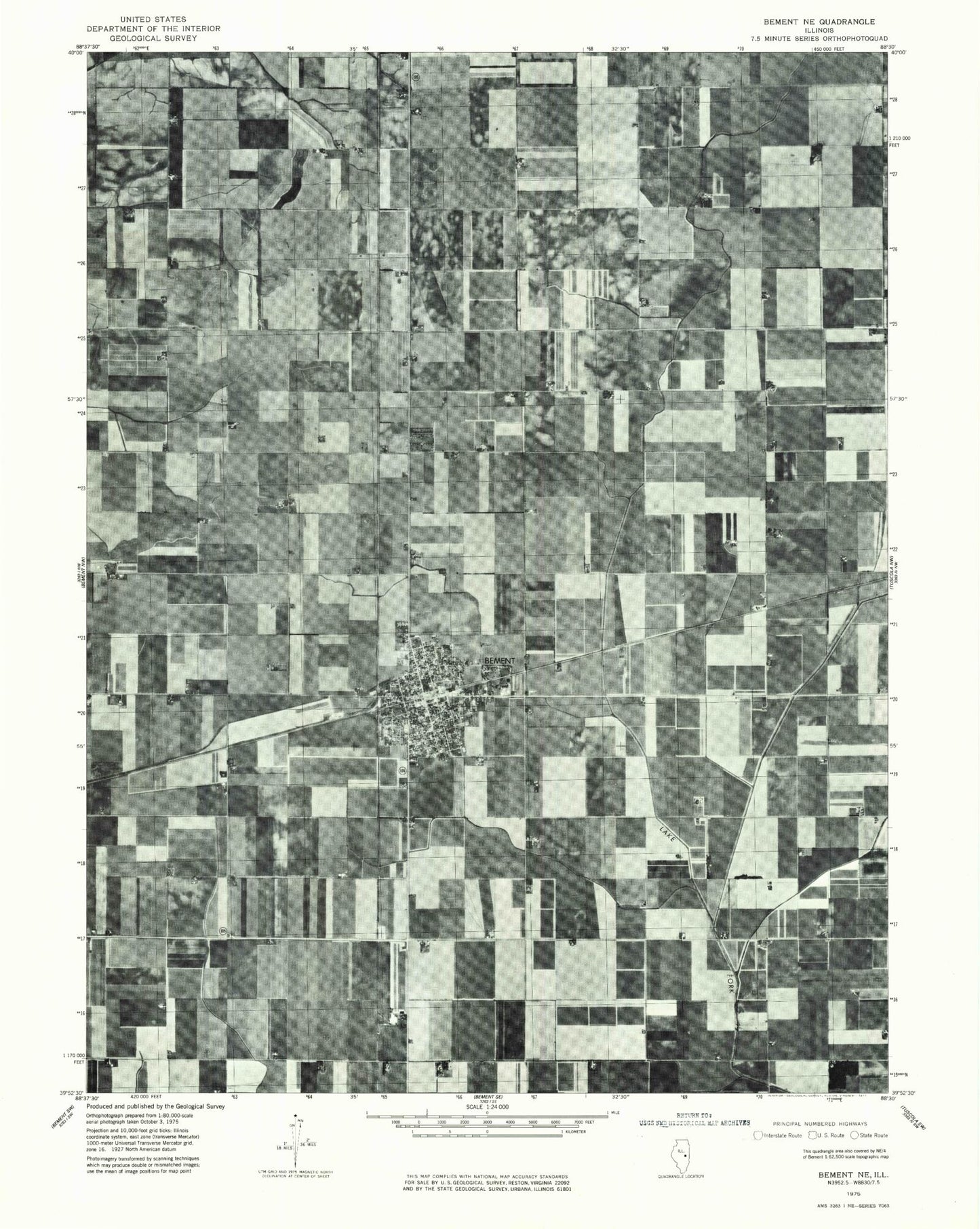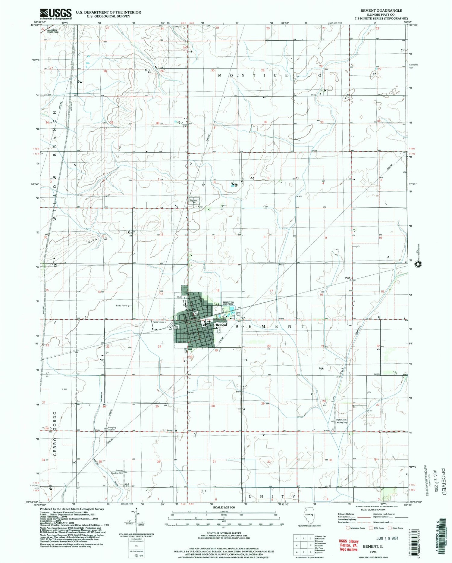
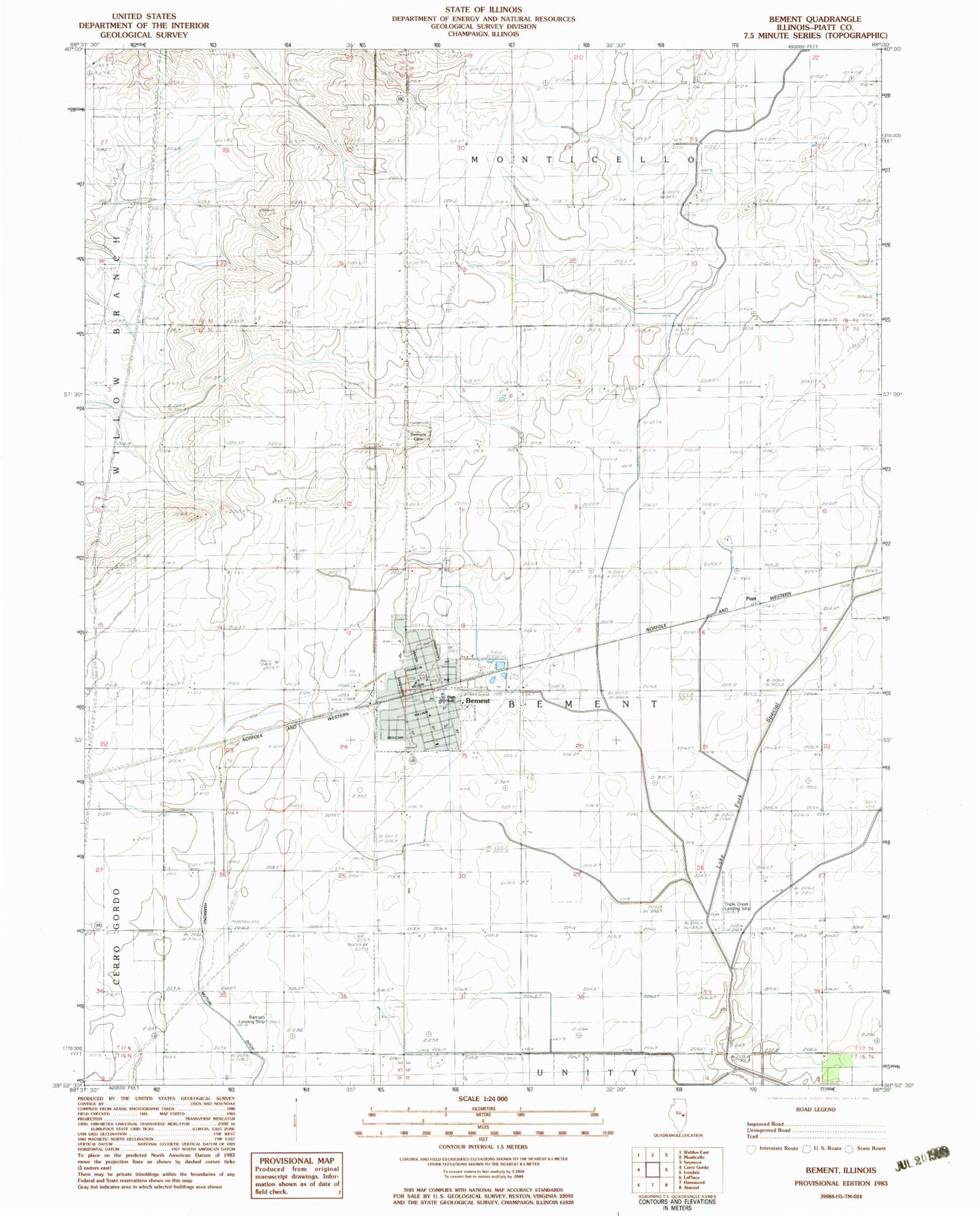
MyTopo
Classic USGS Bement Illinois 7.5'x7.5' Topo Map
Couldn't load pickup availability
Historical USGS topographic quad map of Bement in the state of Illinois. Map scale may vary for some years, but is generally around 1:24,000. Print size is approximately 24" x 27"
This quadrangle is in the following counties: Piatt.
The map contains contour lines, roads, rivers, towns, and lakes. Printed on high-quality waterproof paper with UV fade-resistant inks, and shipped rolled.
Contains the following named places: Bartram Landing Strip, Bement, Bement Baptist Church, Bement Cemetery, Bement County Forest Preserve, Bement Elementary School, Bement Fire Protection District Station 1, Bement Fire Protection District Station 2, Bement High School, Bement Police Department, Bement Post Office, Bement United Methodist Church, Bodmann, Church of God, First Christian Church, First Presbyterian Church, Piatt, Saint Michaels Roman Catholic Church, Township of Bement, Triple Creek Airport, Village of Bement, ZIP Code: 61813