MyTopo
Classic USGS Ben Bolt SE Texas 7.5'x7.5' Topo Map
Couldn't load pickup availability
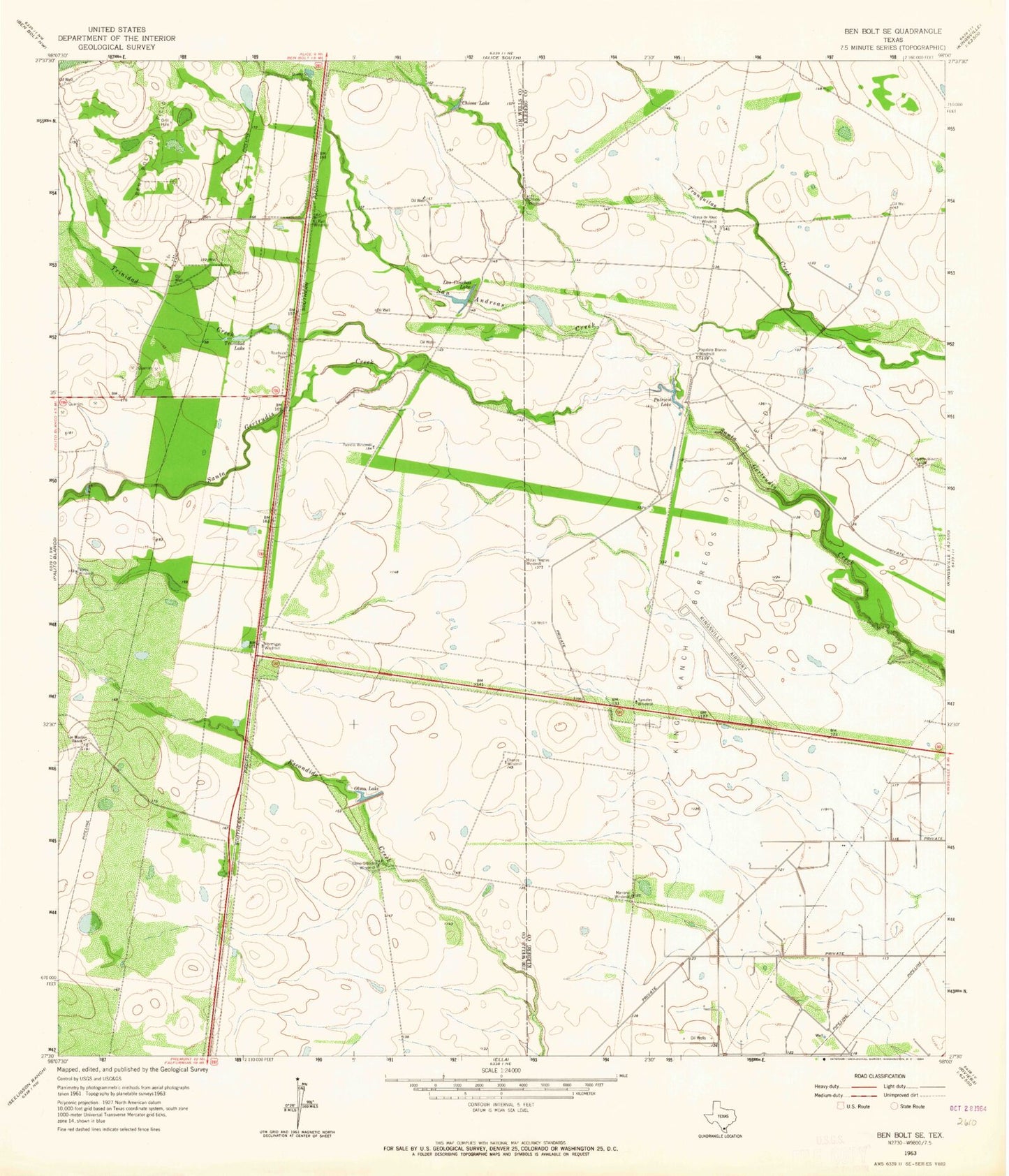
Historical USGS topographic quad map of Ben Bolt SE in the state of Texas. Map scale may vary for some years, but is generally around 1:24,000. Print size is approximately 24" x 27"
This quadrangle is in the following counties: Jim Wells, Kleberg.
The map contains contour lines, roads, rivers, towns, and lakes. Printed on high-quality waterproof paper with UV fade-resistant inks, and shipped rolled.
Contains the following named places: Ben Bolt Oil Field, Chivos Lake, Chivos Windmill, Ebanos Windmill, El Parr Windmill, Hormigas Windmill, King Ranch Borregos Oil Field, King Ranch Dam Number 4, Kleberg County Airport, Las Conchas Lake, Los Machos Ranch, Marrano Windmill, Motas Negras Windmill, North Windmill, Olmo Grande Windmill, Olmo Lake, Papalote Blanco Windmill, Patricio Lake, Patricio Windmill, Presa de Rayo Windmill, Reservoir Number 4, San Andreas Creek, Tamales Windmill, Trinidad Creek, Trinidad Lake