MyTopo
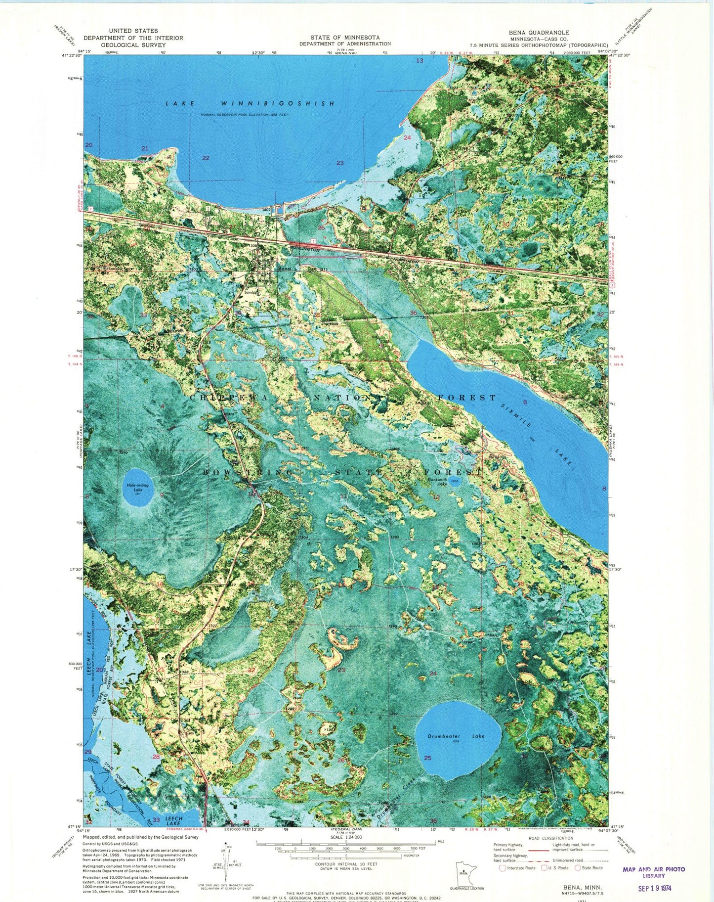
Classic USGS Bena Minnesota 7.5'x7.5' Topo Map
Couldn't load pickup availability
Historical USGS topographic quad map of Bena in the state of Minnesota. Map scale may vary for some years, but is generally around 1:24,000. Print size is approximately 24" x 27"
This quadrangle is in the following counties: Cass.
The map contains contour lines, roads, rivers, towns, and lakes. Printed on high-quality waterproof paper with UV fade-resistant inks, and shipped rolled.
Contains the following named places: Bena, Bena Alliance Church, Bena City Hall, Bena Post Office, Bena Roadside Park, Blacksmith Lake, Boulder Hill Lookout Tower, City of Bena, Drumbeater Lake, Drumbeater Lake Waterfowl Game Refuge, Fairview Cemetery, Hole-in-Bog Lake, Hole-in-bog Lake Waterfowl Game Refuge, Sixmile Lake, Unorganized Territory of North Cass, ZIP Code: 56626