MyTopo
Classic USGS Benavides NE Texas 7.5'x7.5' Topo Map
Couldn't load pickup availability
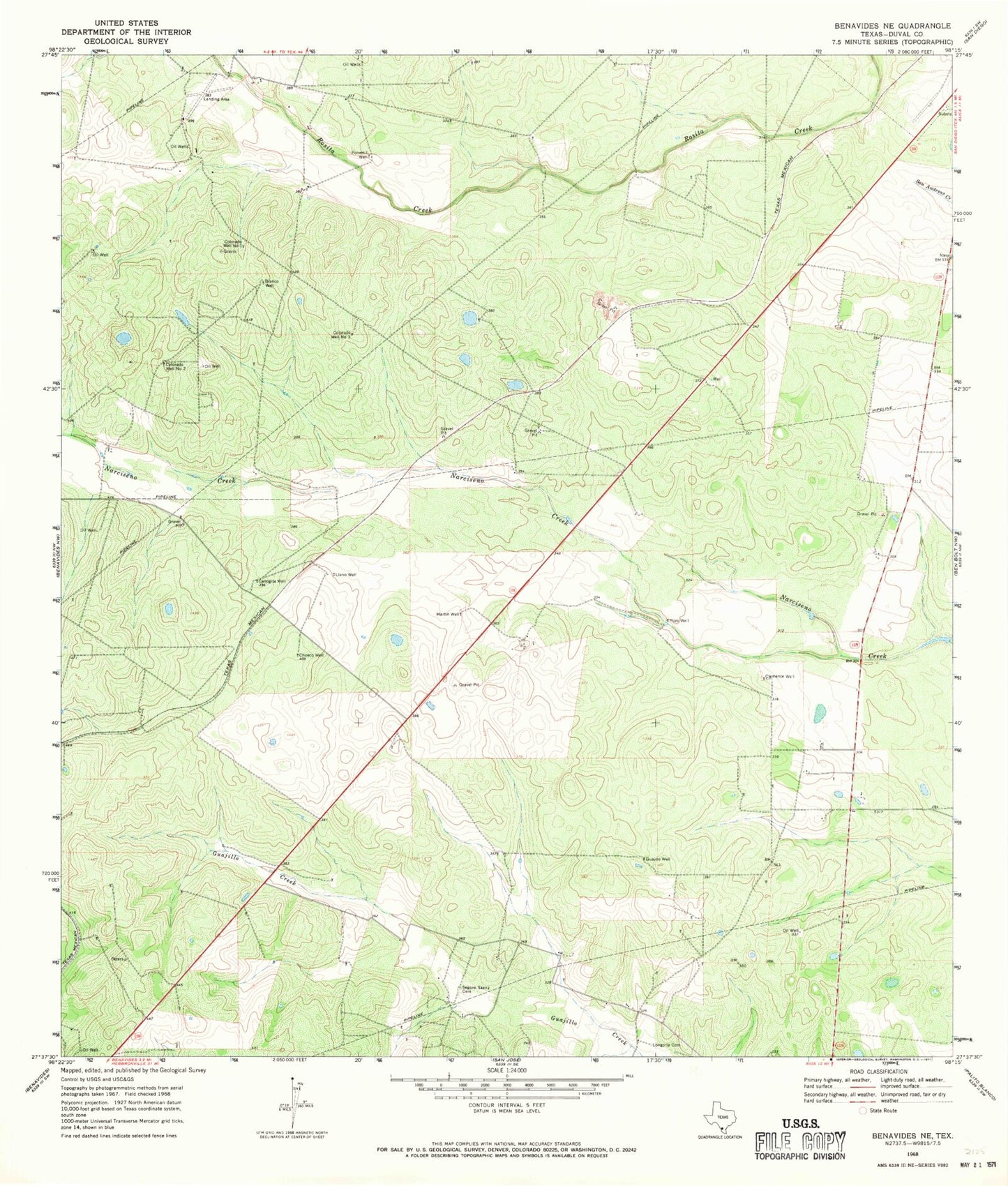
Historical USGS topographic quad map of Benavides NE in the state of Texas. Map scale may vary for some years, but is generally around 1:24,000. Print size is approximately 24" x 27"
This quadrangle is in the following counties: Duval.
The map contains contour lines, roads, rivers, towns, and lakes. Printed on high-quality waterproof paper with UV fade-resistant inks, and shipped rolled.
Contains the following named places: Blanco Well, Canogita Well, Chueco Well, Clemente Well, Colorado Well Number One, Colorado Well Number Three, Colorado Well Number Two, Guajillo Well, Llano Well, Longoria Cemetery, Martin Well, Porvenil Well, Pozo Well, Segura - Saenz Cemetery, Texas Department of Criminal Justice Ernestine Glossbrenner Unit