MyTopo
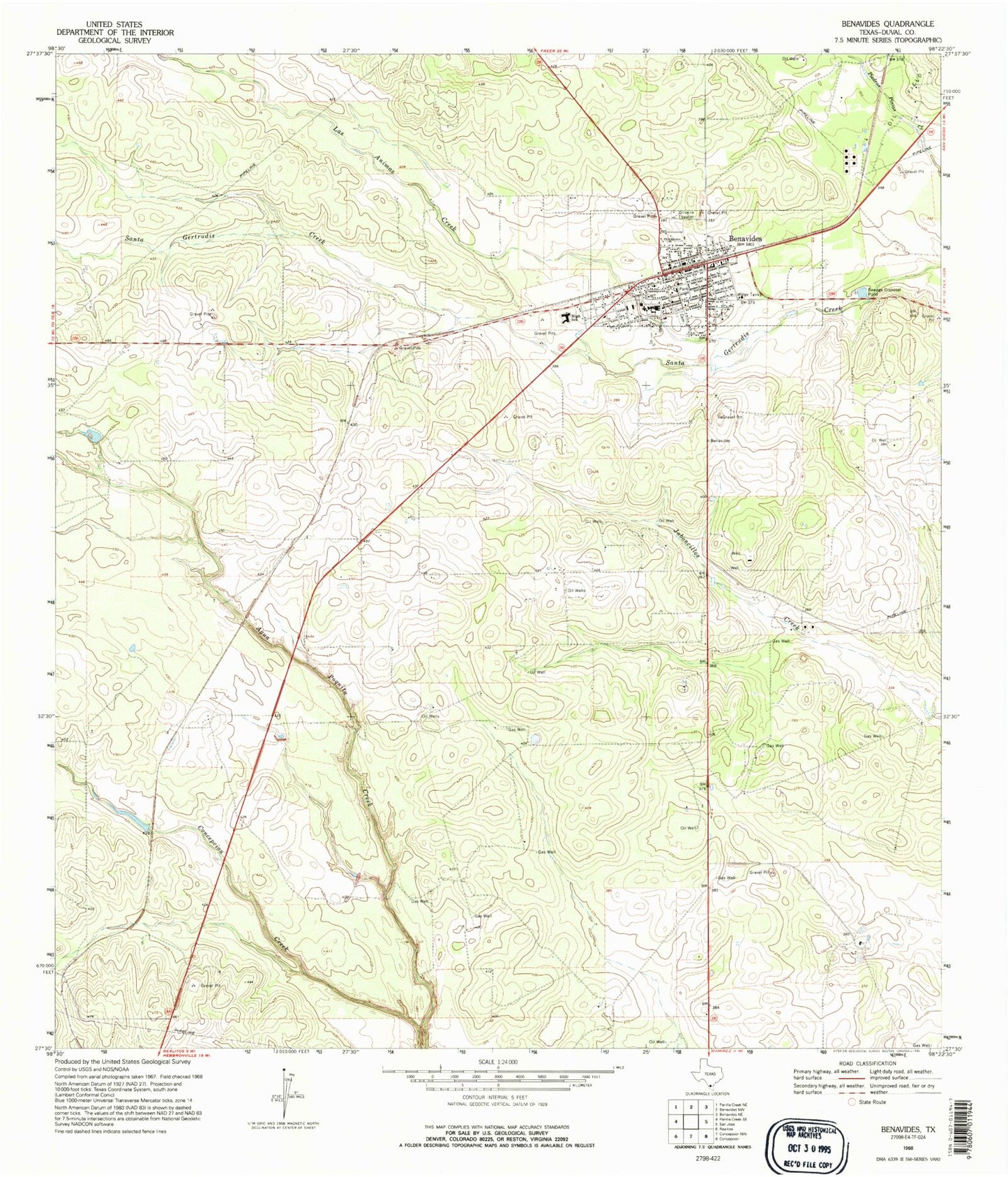
Classic USGS Benavides Texas 7.5'x7.5' Topo Map
Couldn't load pickup availability
Historical USGS topographic quad map of Benavides in the state of Texas. Map scale may vary for some years, but is generally around 1:24,000. Print size is approximately 24" x 27"
This quadrangle is in the following counties: Duval.
The map contains contour lines, roads, rivers, towns, and lakes. Printed on high-quality waterproof paper with UV fade-resistant inks, and shipped rolled.
Contains the following named places: Benavides, Benavides Cemetery, Benavides City Hall, Benavides Division, Benavides Emergency Medical Service, Benavides Fire Department, Benavides High School, Benavides Junior High School, Benavides Post Office, City of Benavides, Las Animas Creek, Mario Olga Colonia, Piedras Pintas Cemetery, Rancho Maria Cemetery