MyTopo
Classic USGS Bendena Kansas 7.5'x7.5' Topo Map
Couldn't load pickup availability
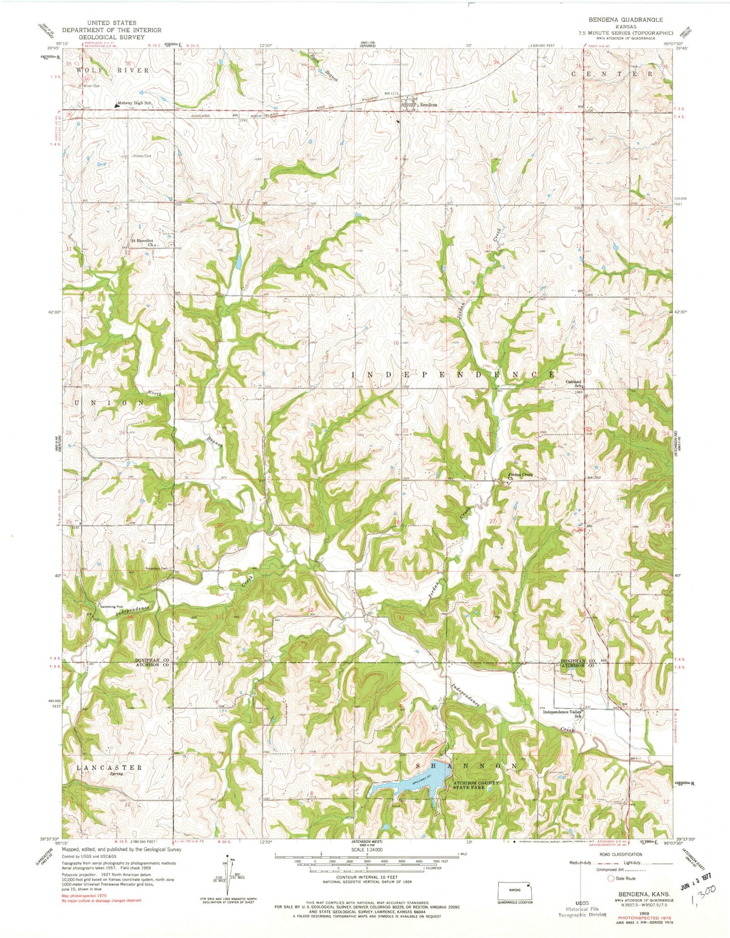
Historical USGS topographic quad map of Bendena in the state of Kansas. Map scale may vary for some years, but is generally around 1:24,000. Print size is approximately 24" x 27"
This quadrangle is in the following counties: Atchison, Doniphan.
The map contains contour lines, roads, rivers, towns, and lakes. Printed on high-quality waterproof paper with UV fade-resistant inks, and shipped rolled.
Contains the following named places: Atchison County State Park, Atchison State Fishing Lake and Widlife Area, Bendena, Bendena Census Designated Place, Bendena Fire Department, Bitner Cemetery, Doniphan West Elementary School, Doniphan West Middle School, Green Top, Independence School, Independence Valley School, Jordan Creek, Jordan Creek Church, North Branch Independence Creek, Oakland School, Pleasant Ridge School, Robertson Cemetery, Saint Benedict Church, Saint John Lutheran Church, Township of Independence, Victory Cemetery, ZIP Code: 66008